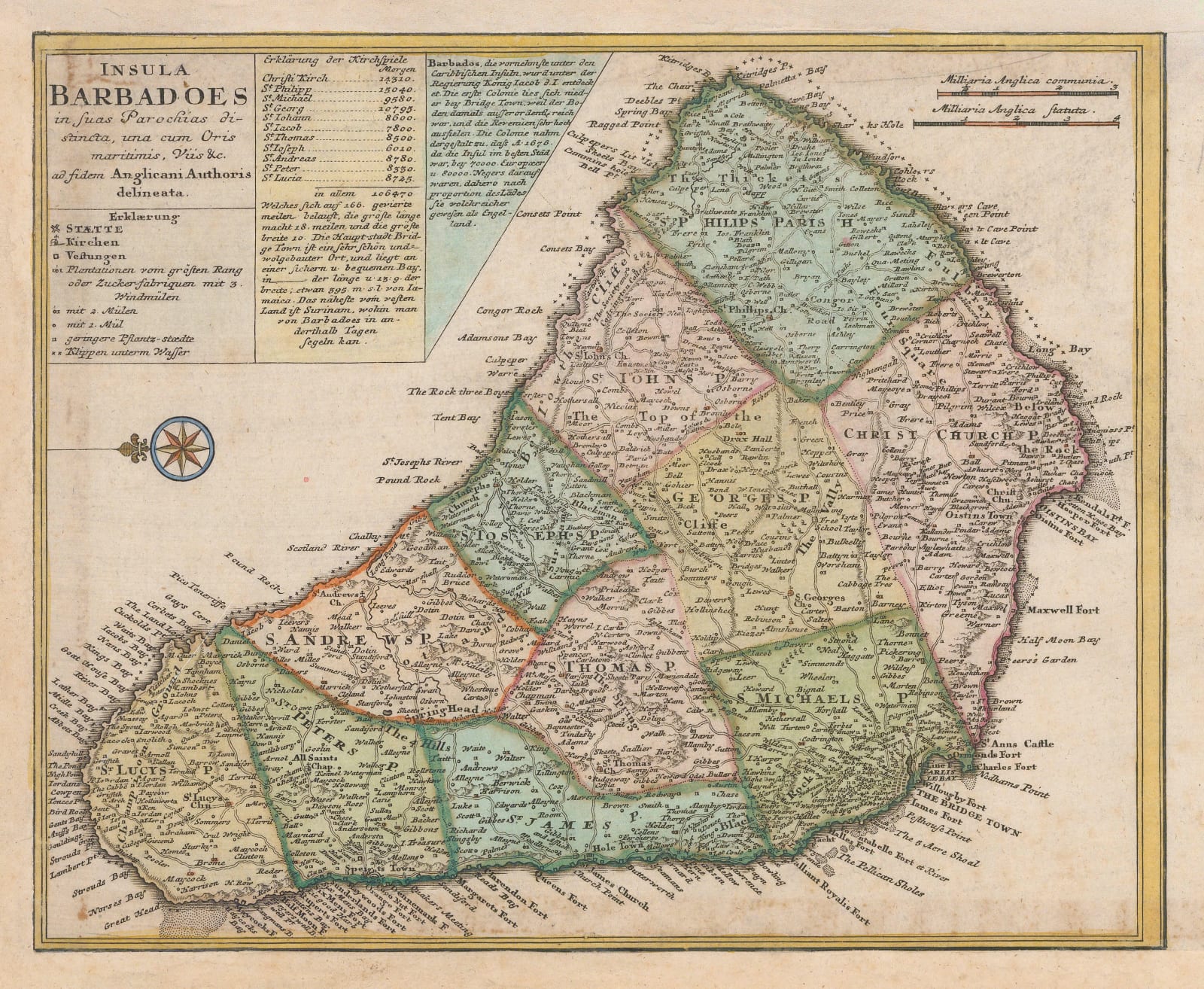
Homann Heirs
23 x 28 cm
Attractive map of Barbados from one of the leading German publishers of the 18th century. North is oriented to the left of the sheet.
Geographically the map is based on Herman Moll's map of the island from the early 1720s. It is divided into its parishes and it shows an extremely well developed road network. The map's interior nomenclature is in English although the text panels on the upper left are German additions by Homanns Heirs.
Coloured. [WIND4370]


