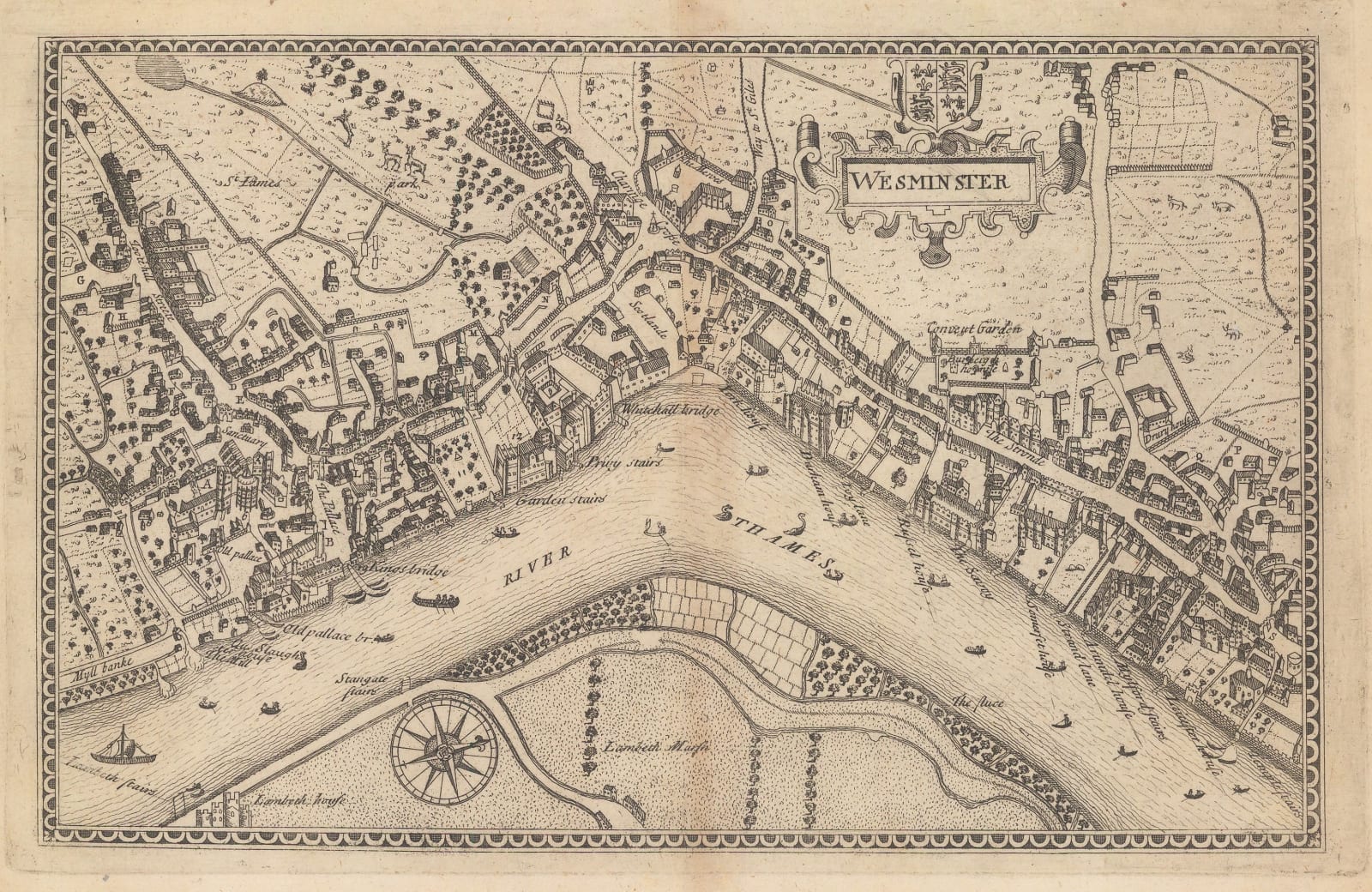
John Norden
17 x 26 cm
The map shows Westminster, Charing Cross, Covent Garden, the Strand, and Temple in the time of Queen Elizabeth I. Most buildings are illustrated as if seen from a bird's-eye view. Covent Garden is shown in its original form as a convent garden as it was before the 18th century development of the modern piazza. All of the large, since-destroyed mansions along the Thames are illustrated and named, including York House and Durham House. Somerset House, the lone survivor, is almost unrecognizable with a long garden leading to the riverside. Deer are illustrated in St. James's Park, alluding to the park's history as a royal hunting preserve.
Norden's 'Speculum Britanniae' was intended as a complete history and description of Britain during the Elizabethan period, and was to be published in multiple volumes. Ultimately, only two volumes (Middlesex and Hertfordshire) and a handful of lone county maps, including Surrey, Hampshire, and Sussex, were published during Norden's lifetime. Several further volumes (Cornwall, Northamptonshire, and Essex) were published posthumously in the 18th and 19th centuries.
This map is one of the only available view of Elizabethan London, making it an important historical record and a highly collectible item for London history enthusiasts. [LDN6792]


