Justus Perthes
103 x 107 cm
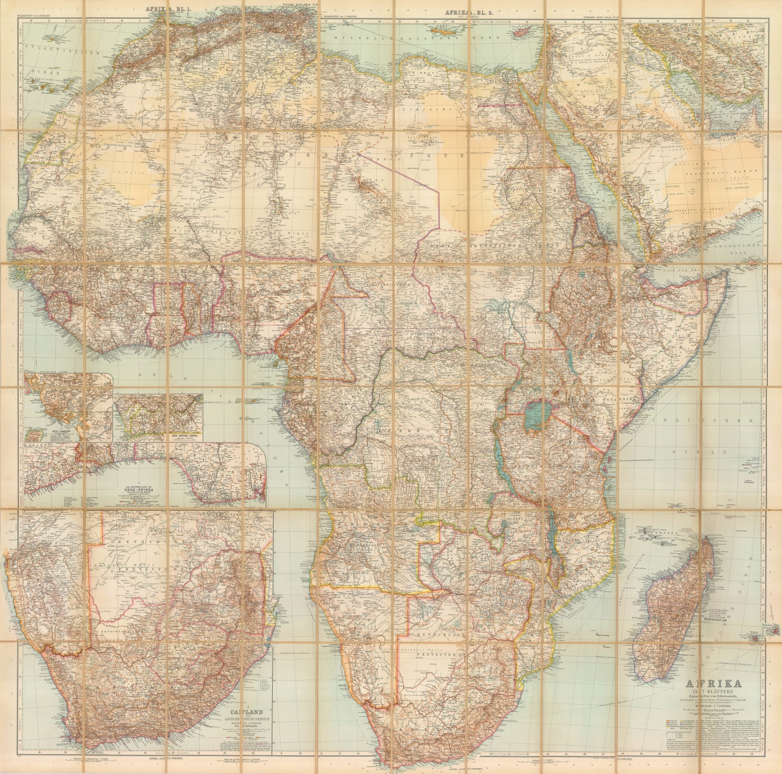
Separately issued folding wall map of Africa published in 1906 and reflecting recent developments in the continent after the Franco British Entente Cordiale of 1904.
Although large, this map is actually a reduction of Hermann Habernicht’s monumental twelve sheet map of African first published in 1885. This “Spezial-Karte von Afrika” served to commemorate the hundredth anniversary of the firm of Justus Perthes as well as the Berlin Conference on West Africa of 1884. It was a prestige project, with Habernicht using all latest available sources; so much so that each sheet of the original map was sold by subscription and the whole project was accompanied by eighty sheets of text recording the sources and explanations for the map.
This is a seven sheet reduction of the same map but now substantially revised and updated with much greater detail and multiple insets focusing on areas of German interest, particularly German Southwest Africa, Togo and Cameroon. This reduction also shows the continent divided into pre -World War I European colonies. This includes the vast Colonies of the Congo, divided into Belgian and French, the desert areas of German Southwest Africa and Italian claims on the Horn of Africa among many others. The British had come to an agreement with Germany in the 1890 Helgoland -Zanzibar Treaty which handed the island of Zanzibar over to the British in exchange for the North Sea island of Helgoland as well and settling the border of Lake Victoria, with the north remaining in British East Africa and the south in German East Africa. British Central Africa has now been renamed as Rhodesia, divided into north and south and the earliest colonies, belonging to Portugal are still maintained in the status quo.
A very fine geo-political snapshot of colonial Africa from the German point of view.
Original colour. [AFR6221] [Folded]


