Heinrich C. Kiepert
66 x 54 cm
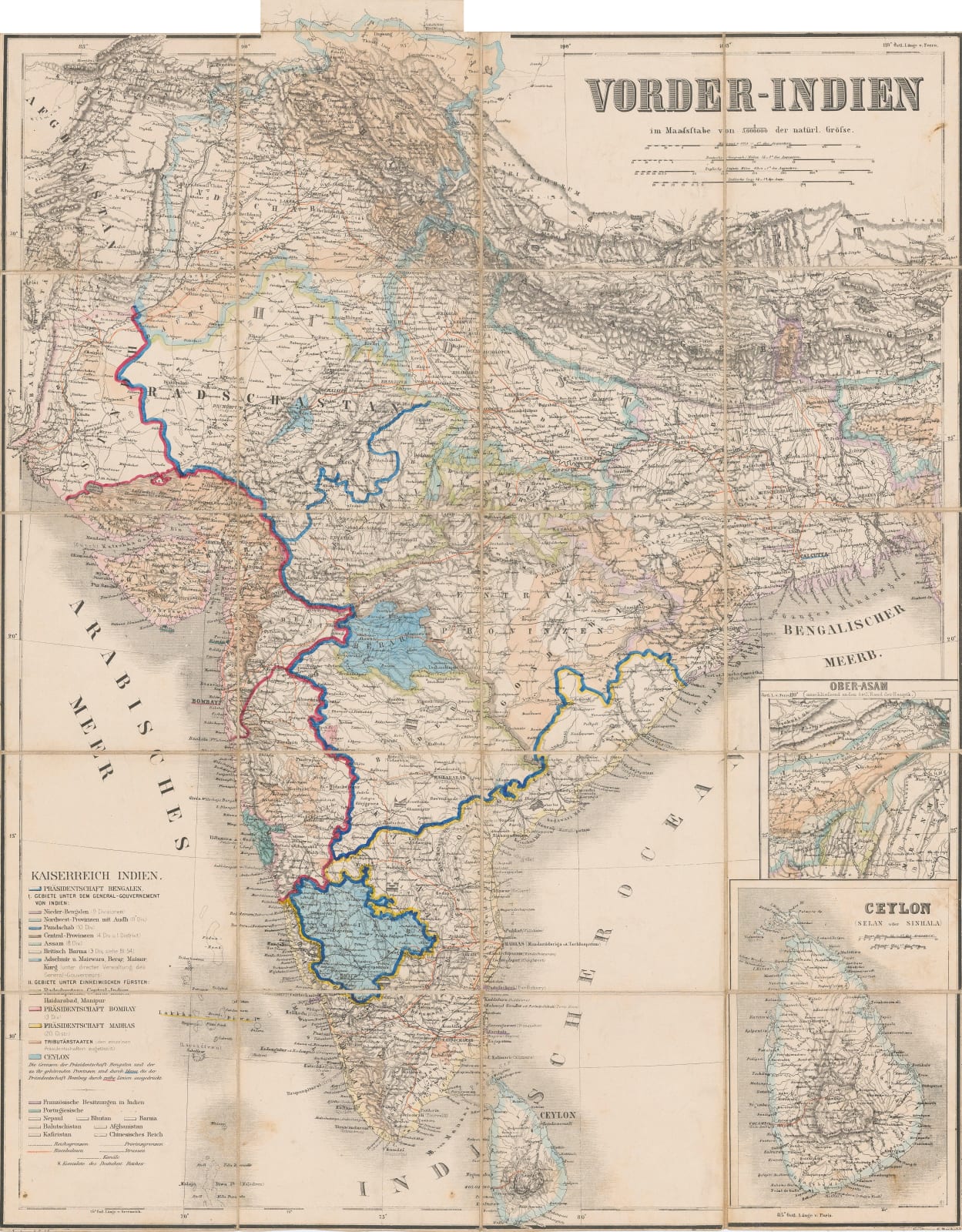
German map of the sub-continent based on an earlier large map by Heinrich Berghaus published in 1836.
This attractive map of the Peninsula is colour-coded to show the administrative regions. Insets feature Sri Lanka and Assam. Roads and railways are marked.
Original colour. [IC2864]


