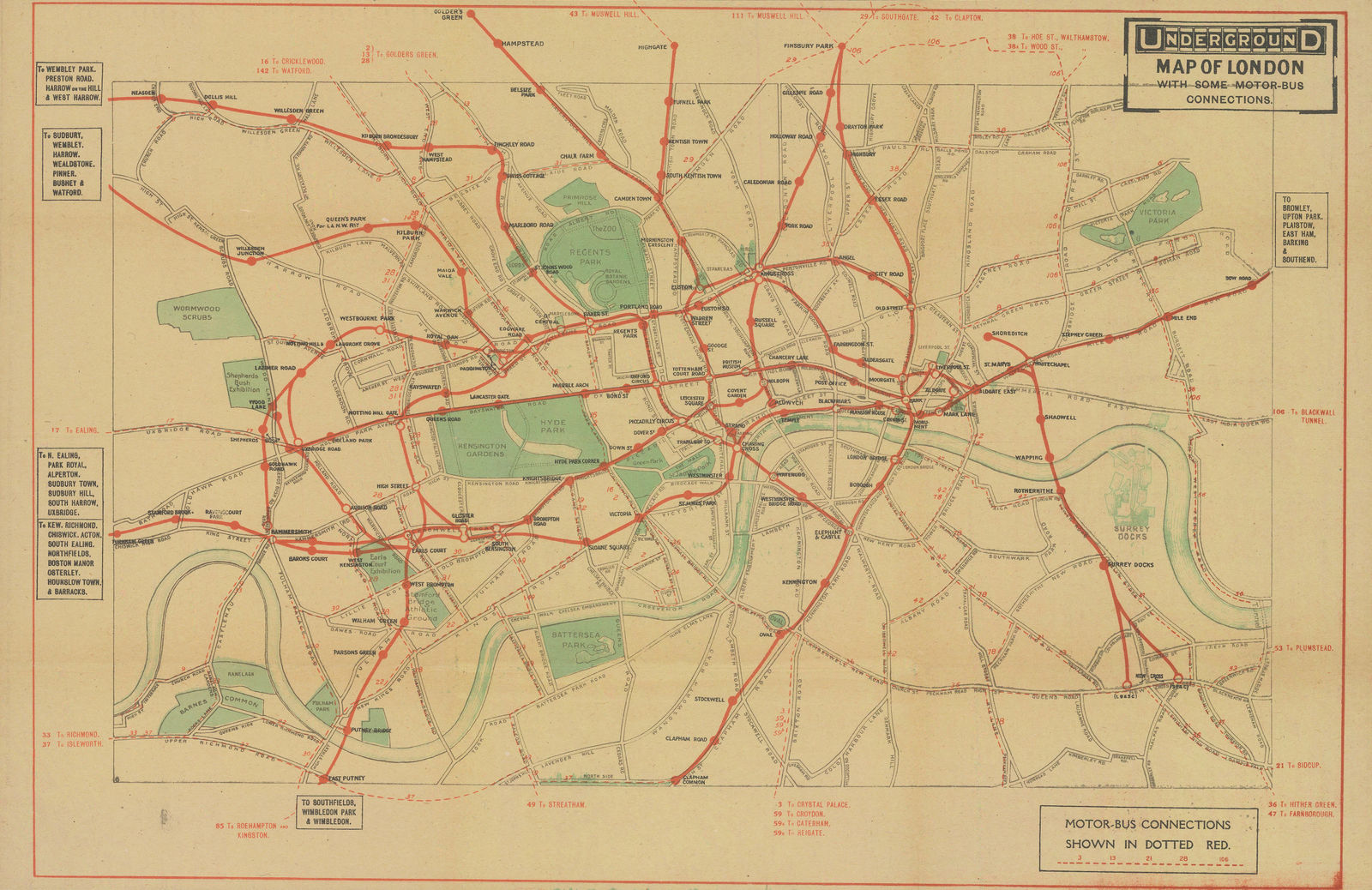
London Underground
29 x 44 cm
The ‘UndergrounD’ logo does appear in the top-right corner of the map, but it overlaps into the map as if it was added as an afterthought. The fonts used throughout are plain and hurried in comparison to earlier maps, and little thought appears to have been given to the placement of station names and the overall legibility of the map. In every way this is a map produced in a hurry during a time of national crisis by less-than-qualified staff. Though it is far from the most attractive Underground map ever printed, its historical context as one of the few maps published during the First World War makes this an interesting collector’s item.
Fans of London’s buses should also note the inclusion of bus routes and bus extensions to the Underground network. Having acquired the London General Omnibus Company (LGOC) in 1912, the Underground group now saw buses as part of a coherent transport network rather than as competition for passengers.
Printed colour. Framed. [LDN6946]


