Emanuel Bowen
66 x 50.8 cm
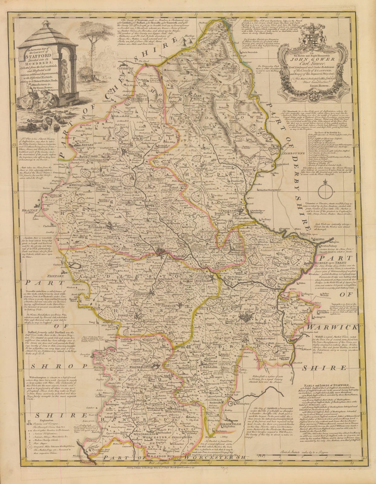
Bowen took both his inspiration and his information from the new fashion for large county wall maps made by his contemporaries and often collaborators such as Andrew Dury and Thomas Jefferys. These became fashionable as luxury objects for a newly affluent population in early Georgian England.
As well as showing the latest information in Staffordshire, the map is surrounded by multiple text panels conveying a series of historical and geographical facts relevant to the county.
The dedication is to the Lord Lieutenant of the County, John Leveson-Gower. Gower died in 1754, making this one of the earlier plates engraved for the atlas.
Original colour. [STAFFS279]


