George H. Walker & Co
51 x 94 cm
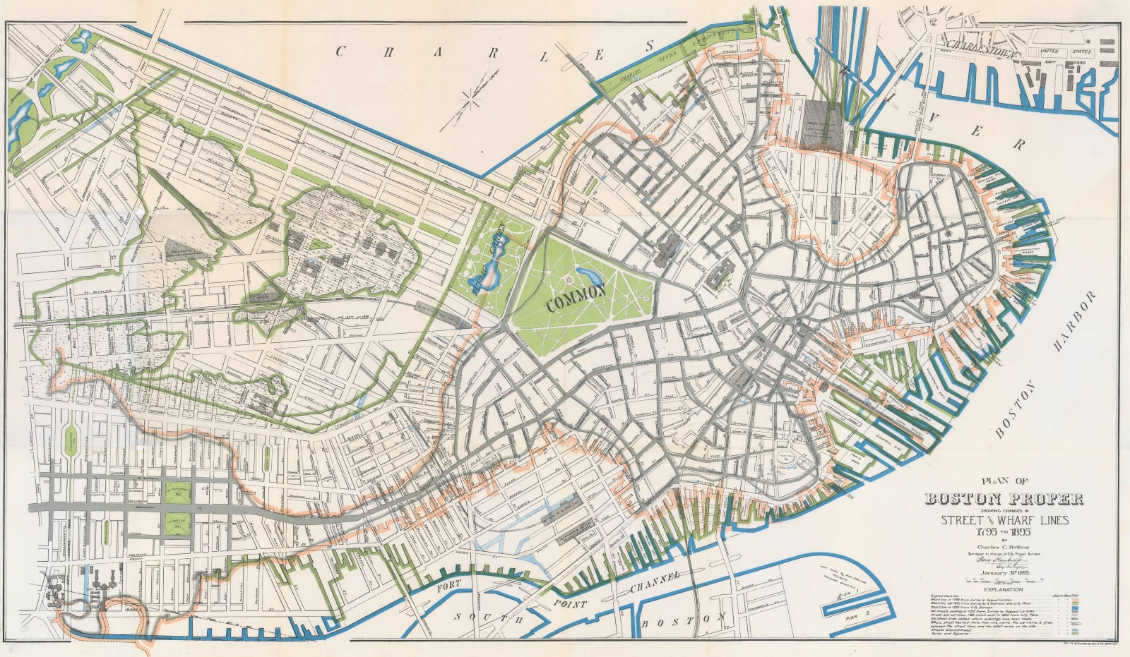
This map uses a colour key situated on the lower right to indicate the extent of the earliest shore line of Boston along the Shawmut Peninsula, following on with the continuous program of land reclamation to the year 1895. The map also traces and colour codes the street network of the old city.
Original colour. [USA9568]


