Victor Levasseur
30.5 x 43.2 cm
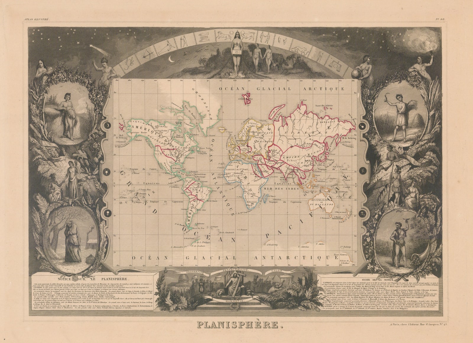
The map itself is quite simple, illustrating the important river systems and naming a mixture of major countries, states and cities. Coloured outlines to denote the boundary lines between the Americas, Africa, Europe, Asia and Oceania, and unfinished and sketchy coastlines are shown in both the Arctic and Antarctic regions.
Initially the map is framed in some classic scroll work with the circular icons representing the six planets. Above a Biblical scene of a man and woman (perhaps Adam and Eve in the Garden of Eden) walking amongst a variety of animals. Surrounding them a starry night sky with a banner of the twelve signs of the zodiac.
Framed to the left and right of the map are four allegorical figures representing the seasons, Spring, Summer, Autumn and Winter. Amongst these richly illustrated portraits, a combination of figures representing the continents Asia, Africa, America and Europe, with portrayals of significant Roman gods.
The lower centre underneath the map a powerful collaged scene of religious iconography, and people and places of historical importance. Banners inscribed with the terms ?Fraternit??, ?Egalit??, ?Paix?, ?Union?, and ?Harmony? ribbon around More boldly engraved and located to the left of Jesus on the throne holding a cross, the figure of Napoleon in his iconic bicorne hat. A silhouette of the devil and an Ottoman Empire sultan with a sword cower to Jesus? right side.
This map was engraved by Raymond Bonheur (1796-1849) for the Universal Illustrated Atlas.
Original colour. [WLD4876]


