Carl Ritter
45 x 51 cm
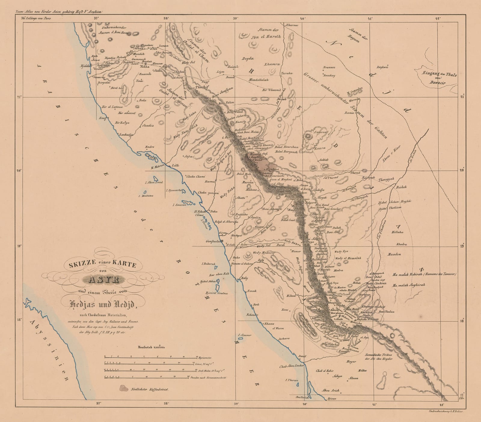
An extremely detailed map of the Red Sea coast of Saudi Arabia from Jeddah in the north to Jazan in the south, showing the full extent of European knowledge of this region in the 1840s. Mecca (Makkah) does appear on the map and there is a caravan route marked between Jedda, Mecca, and Taif.
This map is based, in part, on surveys by the French explorers Joseph Germain Galinier and Pierre Victor Adolphe Ferret taken during their 1839 expedition to Abyssinia (modern-day Ethiopia) and southwestern Arabia on behalf of the French government. These surveys were compiled, along with many other sources, by Carl Ritter, a foundational figure for modern geographical science and one of the greatest German geographers of all time.
Original colour. [MEAST4737]


