John Cary
81 x 125 cm
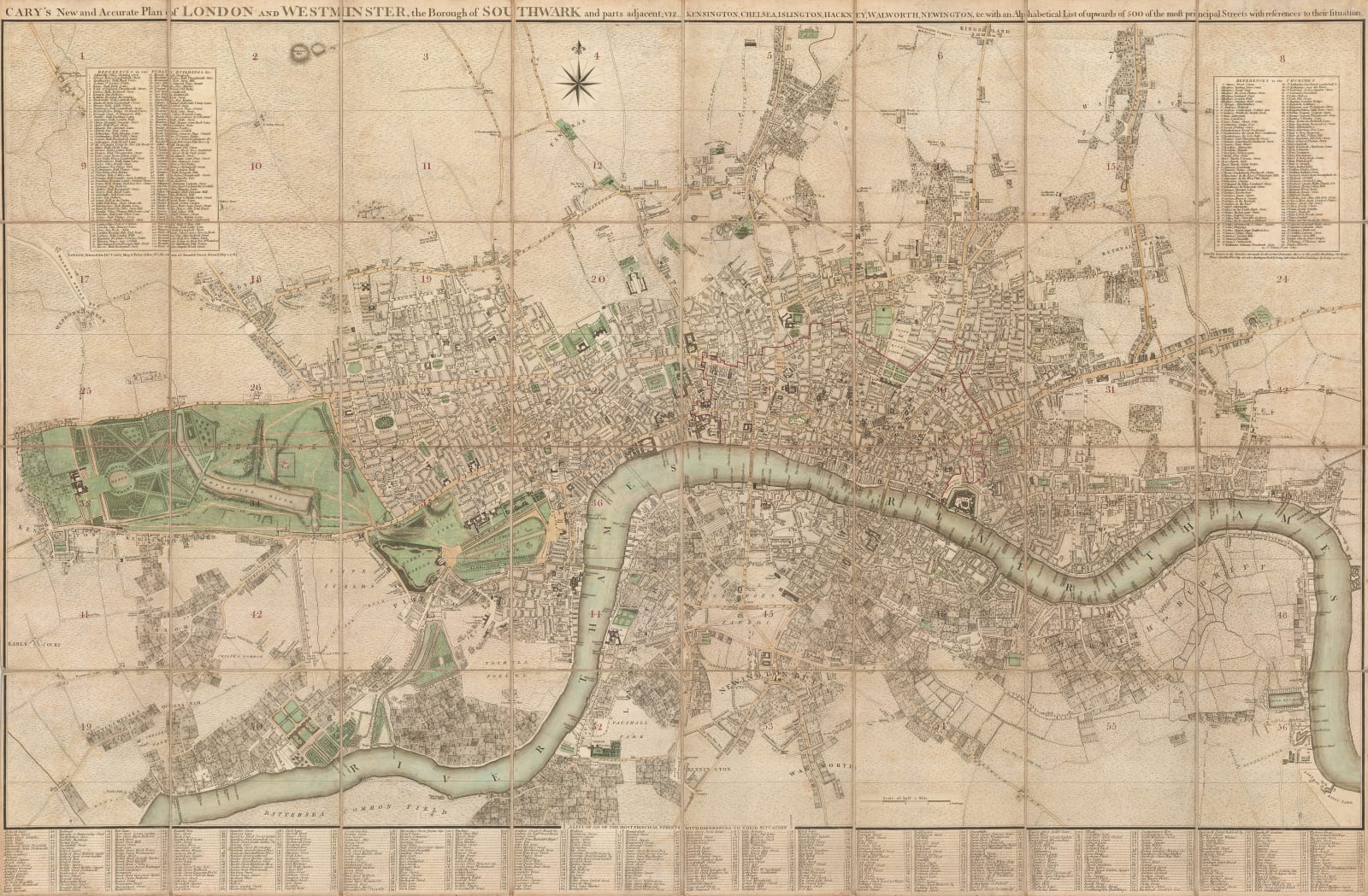
Geographically, the map focuses on Central London, but it extends further into the surrounding suburbs than most maps of its time. The villages of Kensington, Brompton, and Chelsea can be seen in the southwest, and there is almost no development north of Hyde Park. The Regent's Canal has yet to be built and Regent's Park is still farmland. The substantial docks which would later be built at St Katherine's, Wapping, and Rotherhithe have not yet been constructed, or even planned. In the north, Islington, Camden & Hackney are distinct villages, separated from the outer edge of the city by open fields. South of the river, the map extends to Battersea, Kennington, and Deptford.
The map includes an alphabetical listing of the "principal streets" of London in the lower margin. The upper left corner contains a numbered list of public buildings and institutions, while the upper right corner has a list of the city's churches.
This map had a long publishing life and was one of the leading products of the Cary firm. Howgego, the London map scholar, lists more than twenty different versions from 1787 to 1825, tracing the development of the city over forty years. It is one of the most iconic and recognisable maps of Georgian London.
First edition. Slip case included. Original hand-colour. [LDN7422]


