Giuseppe Maria Terreni
20 x 26 cm
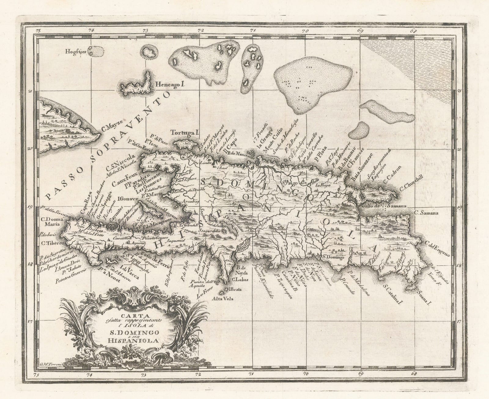
Striking map of the Dominican Republic, at this time divided into French and Spanish possessions. Called both Hispaniola and Santo Domingo.
The map first appeared in this format in the Gazettiere Americano, an Italian translation of the American Gazetteer. The maps and much of the narrative focus mainly on the Theatres of the Seven Years War or the French Indian War as it was known in North America.
Unusually for this work, this map was not based on the map of a similar size by Bellin. Indeed, we have found it impossible to trace the source for the geography of this piece. It differs markedly from its contemporaries by showing the Samana region on the northeast of the island correctly as a peninsula, not an island. The use of the name "C. (Cape) Churchill" on the eastern end of the Peninsula suggests the use of an English map as the source.
The very elaborate cartouche on the lower left is particularly finely engraved.
[WIND4340]


