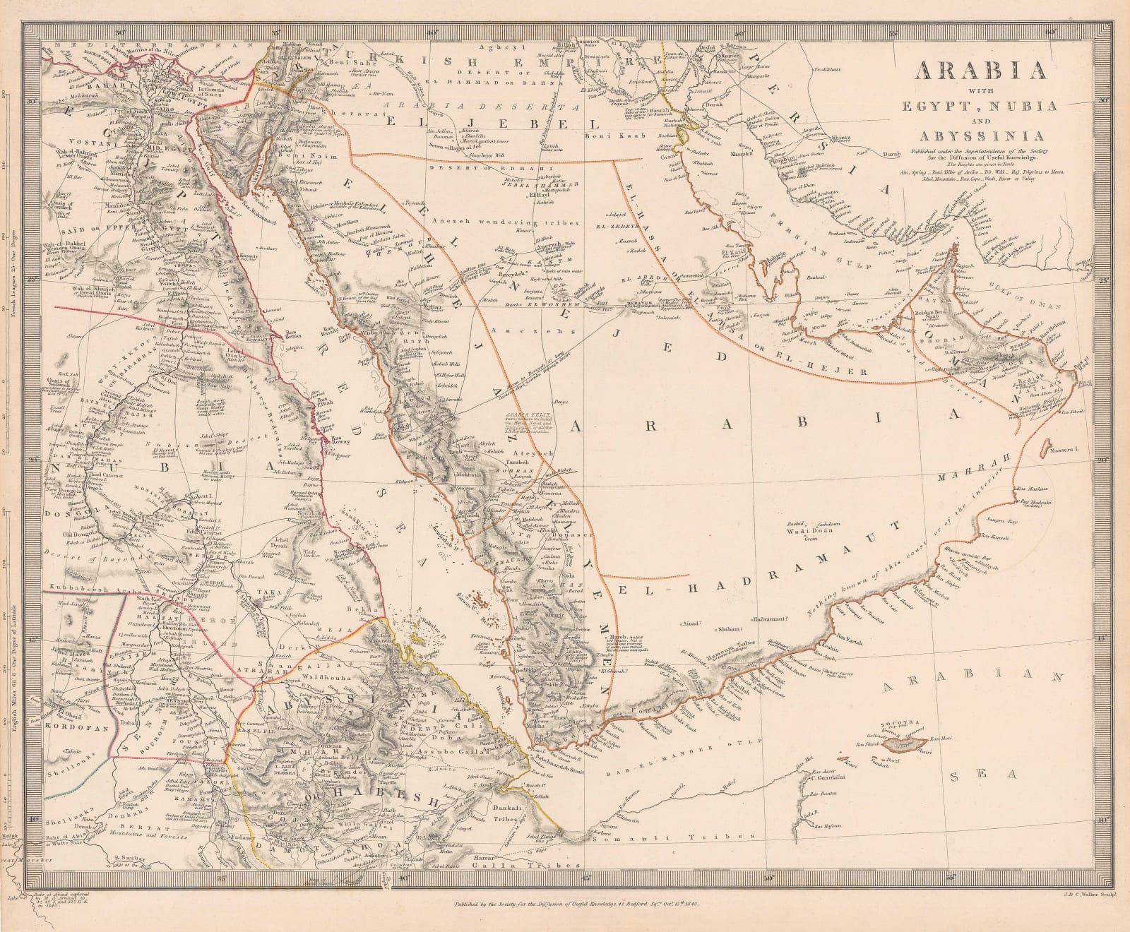
Society for the Diffusion of Useful Knowledge (SDUK)
33 x 41 cm
This is the first edition of this map, issued by the Society in 1843. It became a standard part of the atlas from then on and was augmented throughout its publishing history. A network of centuries-old caravan, pilgrim and trade routes in northern Arabia are marked on the map. The east coast shows Kuwait, under its old name of "Grane" as well as Sharjah, Deba (Dubai) and Abothubi (Abu Dhabi). The Qatari Peninsula is shown but not named. The Peninsula is divided into several regions or kingdoms including El Nejd, El Hejaz and El Hadraumut. Dereyah is marked with a note stating that it is the "Wahabys Capital". Riyadh is not marked on this first edition.
Original hand colour. [MEAST4650]


