Samuel Augustus Mitchell
29 x 22 cm
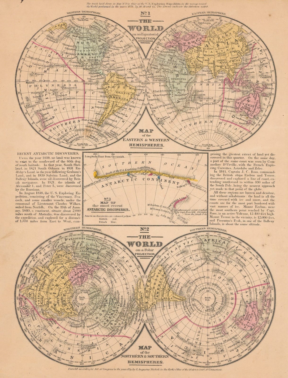
Although this charming little map is dated 1839 on the lower margin, the date of this printing is most likely to be c.1846 or 1847. It was likely to have been a slightly later addition to this work as its focus is on the current exploration of the Antarctic Continent. As some of the most recent and important work on this enterprise had been recently carried out by the United States Exploring Expedition (1838-42) a small diagram in the centre shows the course of the survey made by the Expedition of the Antarctic coastline in 1840. Text panels on the left and right of the map briefly summarise further exploration by the British Captain James Ross and the French Commodore Jules Dumont D’Urville.
Original colour. [WLD4820]


