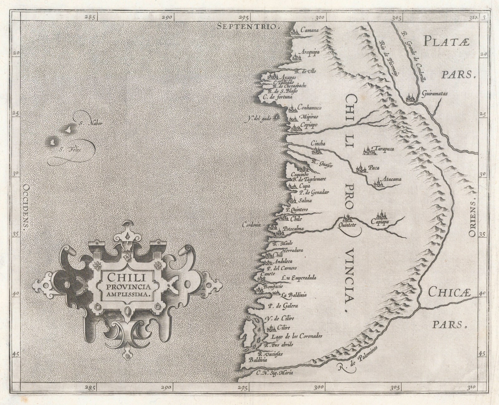
Cornelis Wytfliet
23 x 28 cm
This important map shows north to the top of the map. It stretches from the city of Camana in the north to Valdivia in the south although there is some confusion in the placement of the latter. Camana today is in southern Peru. Arequipa, just south, is the second most populated city in Peru.
Further south, there is some confusion. Several names are recognizable, such as Coquinbo (Coquimbo) and Copiapo; however, Atacama is marked as an inland settlement, there are two settlements simply called “Chile” and “Chili” while further south, there is a settlement called “La Baldivia” referring to the city of Valdivia, while further south, the name “Baldivia” appears again, although without a particular feature to identify.
The island of Chiloe is clearly discernible although not named while the Andes mountains form an elaborate curve to exaggerate the coastal plain.
There is a curious bulge on the coast just south of Arequipa, which is also present on a very important wall map of the world by Petrus Plancius published in 1592. This suggests that Wytfliet may have used that map as one of his sources. [SAM3580]


