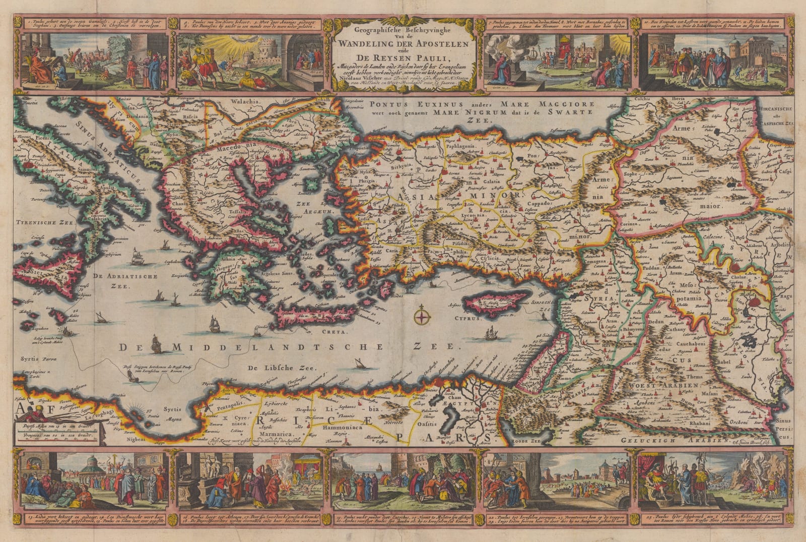
Nicolas Visscher
30 x 46 cm
The cartouche states that the map was attributed to Nicolas Visscher and published in a Bible issued by the Keur family.
In the mid 17th century, Nicholas Visscher introduced the concept of binding a series of maps within Bibles to help illustrate the geographical panorama of the Biblical world. This series of maps varied from the editions of the Bible but usually included a plan of Jerusalem, a series of maps of the Holy Land focusing on specific Biblical epochs, a map showing Paradise and one “modern” double hemisphere map.
This concept proved extremely popular and Visscher soon gained several imitators, including the Keur family, who had a long association with the publishing of Bibles. Geographically, the map is quite antiquated for the early 18th century as it would have appeared in this form for approximately fifty years previously; however, the map serves as a basis to show the voyages of St. Paul the Apostle from the Holy Land to Rome. It has also been heavily embellished with scenes relating to Paul’s adventures on its border.
Coloured. [MED2386]


