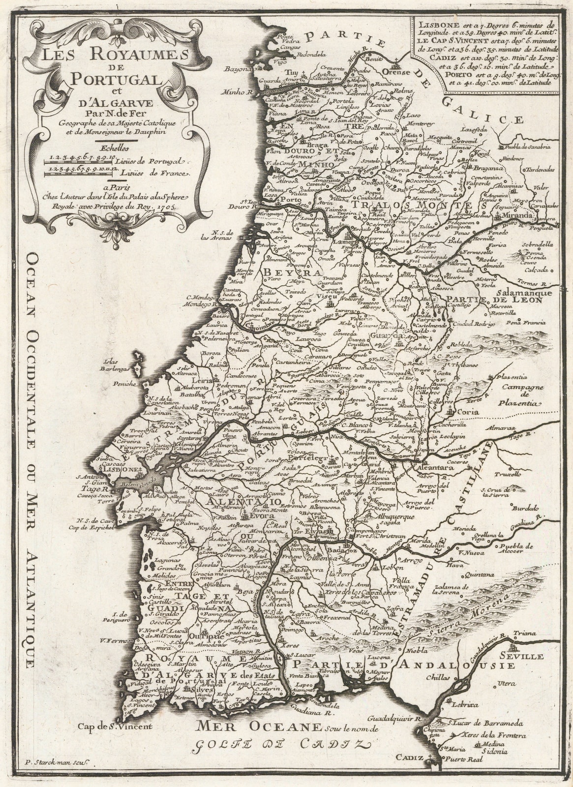
Nicolas de Fer
35 x 25 cm
De Fer's map of Portugal is slightly larger than most of the other maps in the Atlas Curieux. The shape of the country is mostly based on Visscher's map of approximately 15 years previously.
De Fer (1646-1720) was the son of a prominent engraver and produced his first map in 1669. He joined his father's business in 1673 and ultimately took over in 1687. He was a prolific map maker who produced over six hundred separate maps in multiple forms; as separate issues, bound within history and travel books, and as atlases. In the late 17th century he was made Geographer to the Dauphin.
De Fer also published a map of the Iberian Peninsula in 1705 which bears a Portuguese coastline remarkably similar to this one but it is impossible to determine which map was issued first. The general coastline is based mainly on Visscher's map, as mentioned above; Visscher's map in turn uses Sanson's name as a source although curiously, there are distinct differences between Visscher and Sanson's maps of Portugal. [SP2195]


