Survey of India
76 x 117 cm
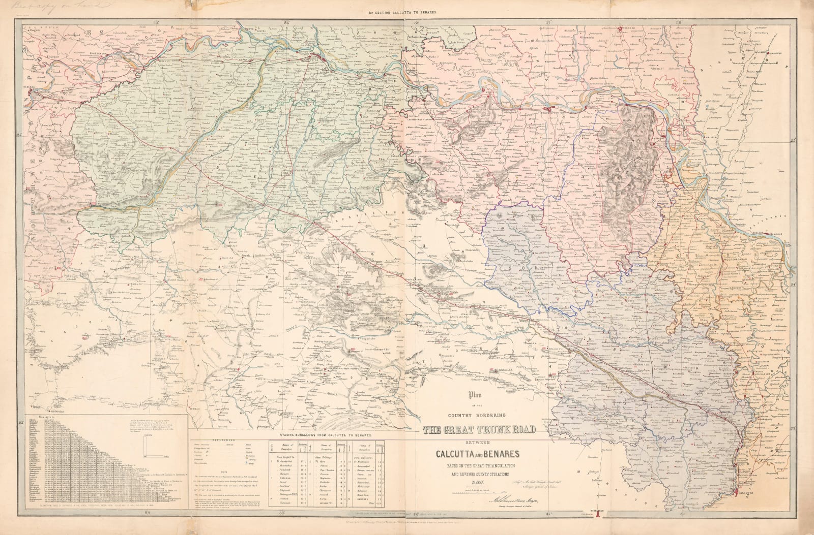
The Great Trunk Road was originally a trade route which was centuries old. It connected the eastern and western boundaries of the Moghul Empire, as well converting into further trade routes beyond Indian borders. In the 1830s, the British East India Company began a program to improve and strengthen the road through the use of metalled construction, in other words, using bitumen or concrete to harden the surface and make it into an all weather road. This program would begin in Calcutta and finish in Kabul.
This large map is an overview of the section of the Grand Trunk Road between Calcutta as was and Benares. It was compiled from existing material present in the Survey of India. Henry Thuillier, the Deputy Surveyor General has his signature printed on the map with the Surveyor General, A. Scott Waugh also present. The existing material was a series of maps of the Grand Trunk Road surveyed by Charles Joseph of much smaller sections, which were produced mainly for the Indian Revenue Service. The level of detail on this map is quite extraordinary. The scale, as stated on the cartouche, is eight miles to the inch. Our example is a second edition of this map as shown on the margin on the upper left.
The printing date of this map is difficult to ascertain but its counterpart showing the continuation of the road from Benares to Delhi bears a lithographic date of 1858. The second edition may have been printed a little later.
We have been able to find four institutional examples of this map held at the British Library, the University of Oxford Library, the University of Melbourne Library and the John R. Borchert Map Library at the University of Minnesota. Original colour. [IC2900]


