George Philip & Son Ltd.
60 x 54 cm
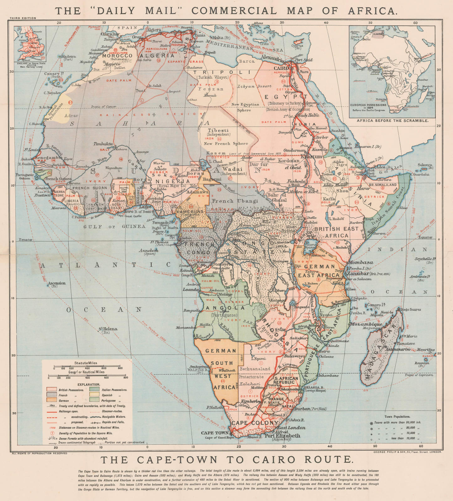
Much of the interior has been divided among European powers. A key on the lower left shows possessions or zones of influence by colour.
The presence of Imperial British East Africa as opposed to the British Imperial East African Company and the South African Republic dates this map to between 1894-1902.
Original colour. [AFR6299]


