Matthew Dripps
66 x 48 cm
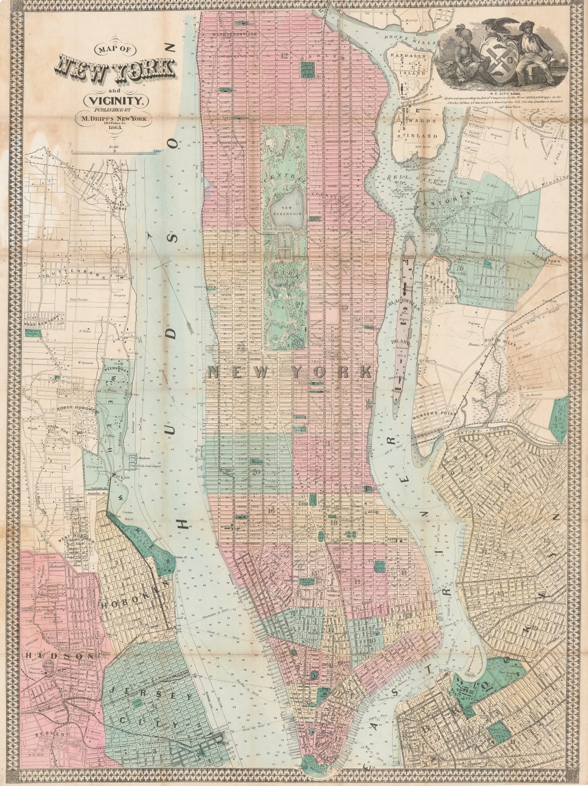
This is a very attractive example of a mid-19th century plan of New York City published by one of the leading map makers of the day. It stretches from south Manhattan to Manhattanville in the north and also shows parts of Brooklyn, Queens, Hoboken, and the latest developments on west New York, Astoria and Guttenberg.
A charming cartouche of the city arms is placed on the upper right with the engraving date on the map of 1862. The title cartouche on the upper left shows the issue date of the map as 1863.
Original colour. [USA9383]


