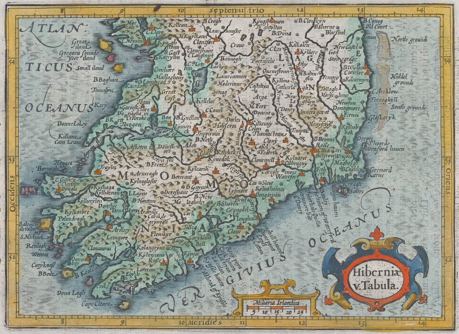
Mercator Hondius
15 x 20 cm
Early 17th century map of the Southern part of Ireland.
The addition of Ireland's distinctive "fingers" on its south coast may be traced back to Jodocus Hondius' extremely rare map of England, Wales and Ireland published originally published in 1592. The geographical shape pioneered by Hondius was used for the next sixty years.
This example is the English edition this work published in London by Michael Sparke. Coloured. [IRE2152]


