Jacques-Nicolas Bellin
New Orleans, 1764
8 x 12 in
20 x 30 cm
20 x 30 cm
USA9523
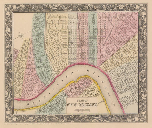
Plan de la Nouvelle Orleans City plan of New Orleans, specifically the old French Quarter. An index of important public buildings is printed above the map. Jacques-Nicolas Bellin was...
Plan de la Nouvelle Orleans
City plan of New Orleans, specifically the old French Quarter. An index of important public buildings is printed above the map.
Jacques-Nicolas Bellin was one of the greatest 18th century map makers. He specialised in hydrography and was appointed to the French Hydrographic office at the young age of 18 in 1721. Twenty years later he was named the first “Ingenieur de la Marine” for the “Depot des Cartes et Plans de la Marine” as well as Hydrographer to Louis XV of France. Over a fifty year career, he published a multitude of important maps often from first hand sources provided by naval officers, merchants and government sources. His level of access was extraordinary. As well as publishing his own atlases, he was a contributor to many seminal French works on exploration, including Abbee Raynal’s “Histoire des Deux Indes”, Abbee Prevost’s “Histoire Generale des Voyages” and Pierre de Charlevoix’s “Histoire et Description Generale de la Nouvelle France”.
In 1762, Bellin decided to publish one of his most popular and accessible works: “Le Petit Atlas Maritime”. The work came out in 1764 in five volumes and proved extremely popular. Many of the maps were reduced versions which Bellin had either contributed or published previously. However, there are some notable exceptions, such as his famous map of Manhattan, which was sourced from a manuscript map by J.B.L. Franquelin drawn in 1693. The five volumes usually contain between 575 and 590 maps with variations noted between individual examples. As the preparation took only two years, it is very likely that Bellin had a majority of these copper plates already available. The initial financial support for the atlas was from Etienne-Francois, Duc de Choiseul, a highly placed French politician who was credited for strengthening both the army and navy. Due to its accessibility, he perceived the ”Petit Atlas Maritime” as a method of publicising both the work of the “Depot de la Marine” and the Navy to the general public. Bellin includes a long dedication to Choiseul on the front of each volume.
For collectors today, the work presents one of the widest selection of extremely desirable smaller maps. They provide clear, concise and attractive geographical records of some of the most inaccessible and exotic areas of the world in the mid-18th century. Bellin was part of a group called “Les Philosophes”, the French counterpart to the pioneers of the English Age of Reason and his maps are a lasting legacy from the Age of French Enlightenment.
Bellin's important plan of New Orleans first appears in Charlevoix's "Histoire et Description de la Nouvelle France" in 1744. It was the most important French port in North America until it was lost after the French Indian War when it nominally became Spanish in 1763, hence it was used extensively by several other French historical publications such as the "Histoire des Voyages".
Due to its relative availability to other 18th century plans of the city, its accuracy and its aesthetic appeal, it is regarded as the iconic antique 18th century plan of New Orleans.
Original colour. [USA9523]