William P. Blake
57 x 42 cm
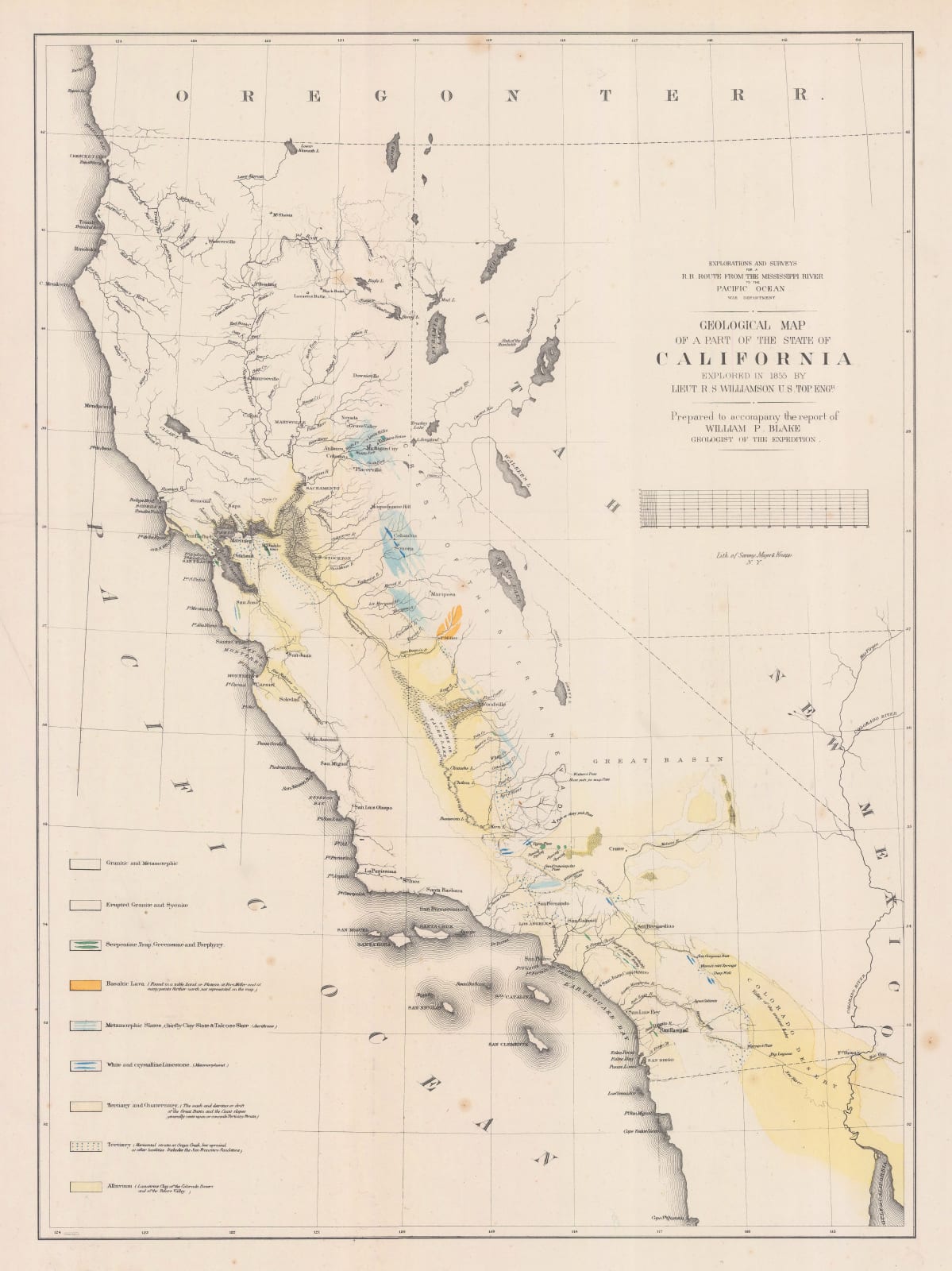
This early geological map of California was made from the reports of geologist William Phipps Blake (1826-1910) and the 1855 surveys of Lieutenant R W Williamson. It was to be included in reports on the future Transcontinental Railroad. It was published in New York in 1855.
Considered quite detailed for the time, this map features colour-coded geological features of California and land west of the Great Western Divide. It also shows settlements, drainage, and marshlands. Though the map depicts the entire state, the geological features of the survey do not reach north of San Francisco. The geology of California at this time was of utmost importance for its development, and this recent cartography could assist with mining, agriculture, and the navigation of mountain passes.
William Phipps Blake was a mineralogist who produced this map during the Pacific Railroad Surveys of 1853. He was part of a group that surveyed passes through the Sierras, and discovered the San Gorgonio Pass, which had not previously been documented on any maps. He continued to explore the Colorado Desert and California for the rest of his life.
Original colour. [USA9497]


