US Corps of Engineers Manhattan District
112 x 43 cm
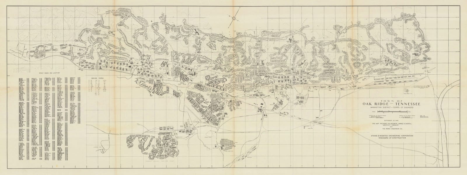
Town of Oak Ridge, Tennessee, the Manhattan Project Townsite
This map details the city of
Oak Ridge, Tennessee. Known as ‘the Atomic City’ and ‘the Secret City,’ Oak
Ridge is a settlement that was created in 1942 after the area was evacuated by
the United States government to be used as the location for uranium separation for
the now-infamous Manhattan Project. The original area now occupied
by Oak Ridge was sparsely populated before 1942 but had established utilities, such as water and electricity lines, as well as access to railroads and highways.
This infrastructure, along with its rural locale, qualified it as an ideal
place to manufacture materials under strict secrecy.
This map, dated to 1945, was
produced by the United States Corps of Engineers and published in 1946 by Stone
& Webster Engineering Corporation in a published report detailing the
history of the atomic bomb and other activities were orchestrated in Oak Ridge, TN. The map features labelled roads,
railways, housing developments, schools, utilities, recreation and healthcare facilities,
businesses, work sites, and warehouses, all on a gridded field. A legend on the
lower left corner lists the street names and grid locations. Another map key on the left shows different housing types.
[USA9536]


