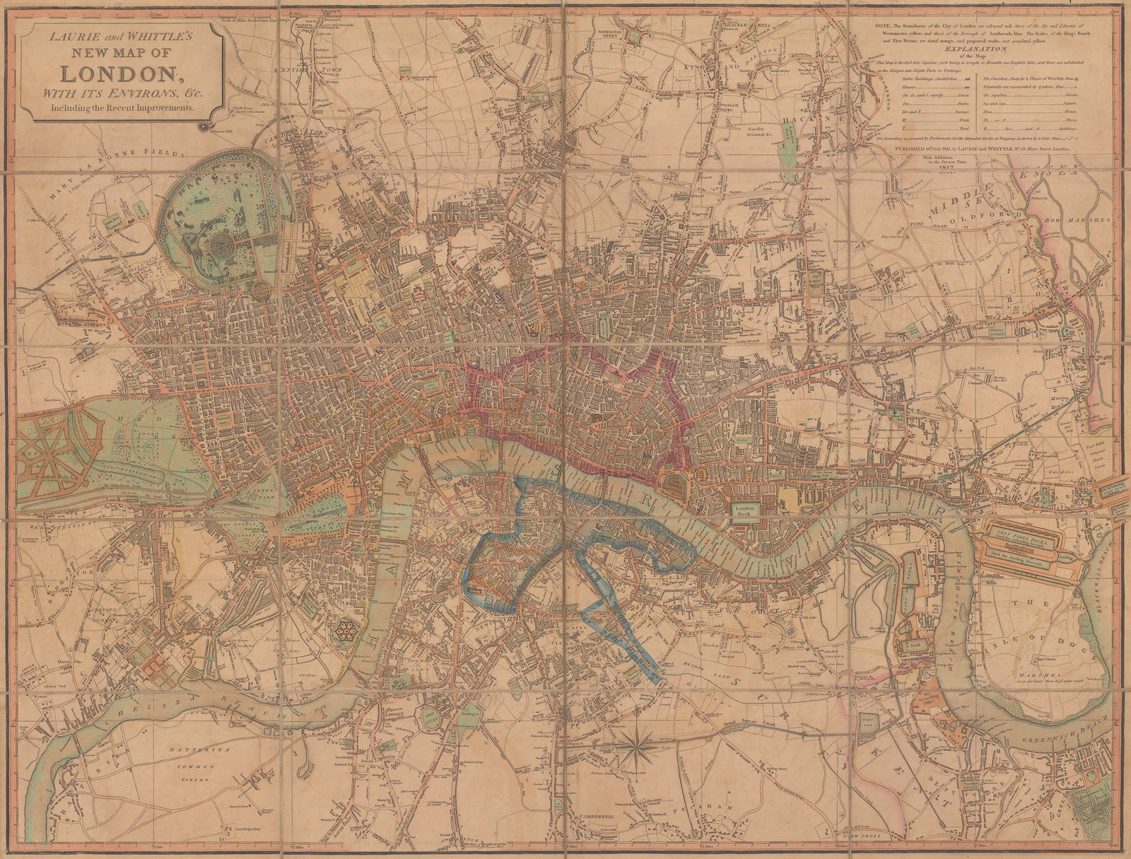
Laurie & Whittle
58 x 76 cm
This map was first issued in 1804 with an illustrated cartouche on the upper left, bearing a ruined pyramid and a marine motif. This may have been an attempt to market the map as a reminder of the public's fondness for the Royal Navy as well as Nelson's triumph in the Battle of the Nile. The title was altered in 1812, excising the illustration and adding the term "including the Recent Improvements", a reference to the planned addition of Regent's Park and Regent's Canal. The recently built West India Docks are also depicted. This example features further updates to 1817 including the suggested name change for the new bridge across the Thames; here it is named "Waterloo or the Strand Bridge". Regent's Park is now far more planned, showing the intended new gardens and the new thoroughfares.
Otherwise, the extent of the city is Paddington to Bethnal Green west to east and Camberwell to Islington south to north.
Original hand colour. [LDN7057]


