Ordnance Survey
65 x 99 cm
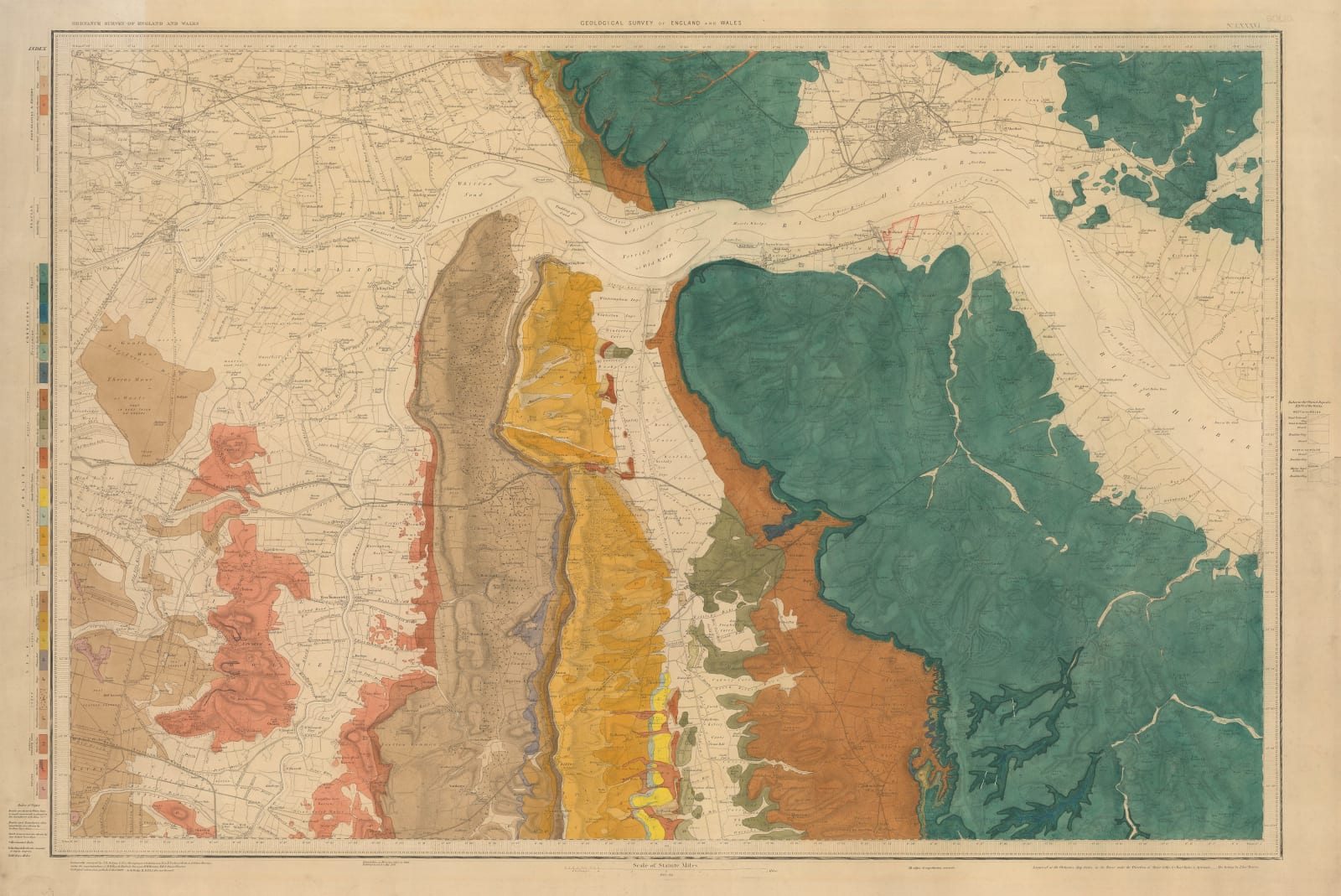
Geological map of parts of Lincolnshire and East Yorkshire, centred on the mouth of the River Humber and showing Hull, Goole, and Scunthorpe. The survey was originally engraved under instruction of Colonel William Mudge and published at the Office of Ordnance, Tower of London. Geological information added from 1887 and railways added in 1891. [LINCS337]


