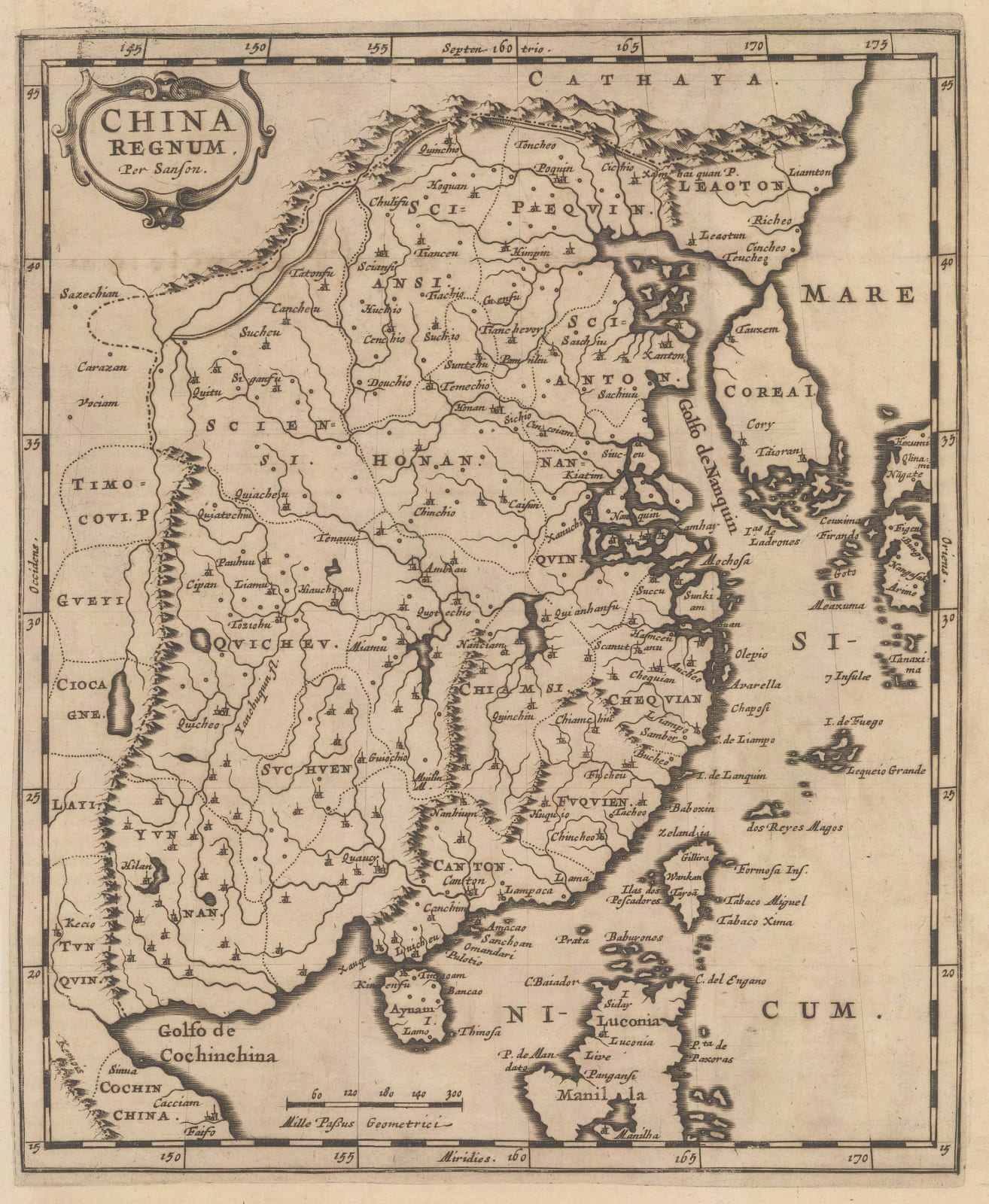
Nicolas & Guillaume Sanson
24 x 20 cm
Map of China on the early Jesuit map compiled by Texeira in the late 16th century and distributed initially by Ortelius but followed by the Dutch Golden Age map makers.
Although Sanson had access to newer, more accurate Jesuit surveys of China, his large folio map was still in preparation when this smaller version was first published in c.1655, hence explaining its antiquated geographical shape and information.
Sanson’s maps were widely emulated at the time. This particular example is a German edition of the work, published in 1679 by Johann Zunner. The major difference between the French edition and the German edition is the use of Latin on the latter as opposed to French on the former. That apart, the Zunner map is very slightly smaller and the engraving is a touch more simplistic.
The Zunner edition of these maps are rarer than their French counterparts.
[SEAS5390]


