Rigobert Bonne
25 x 36 cm
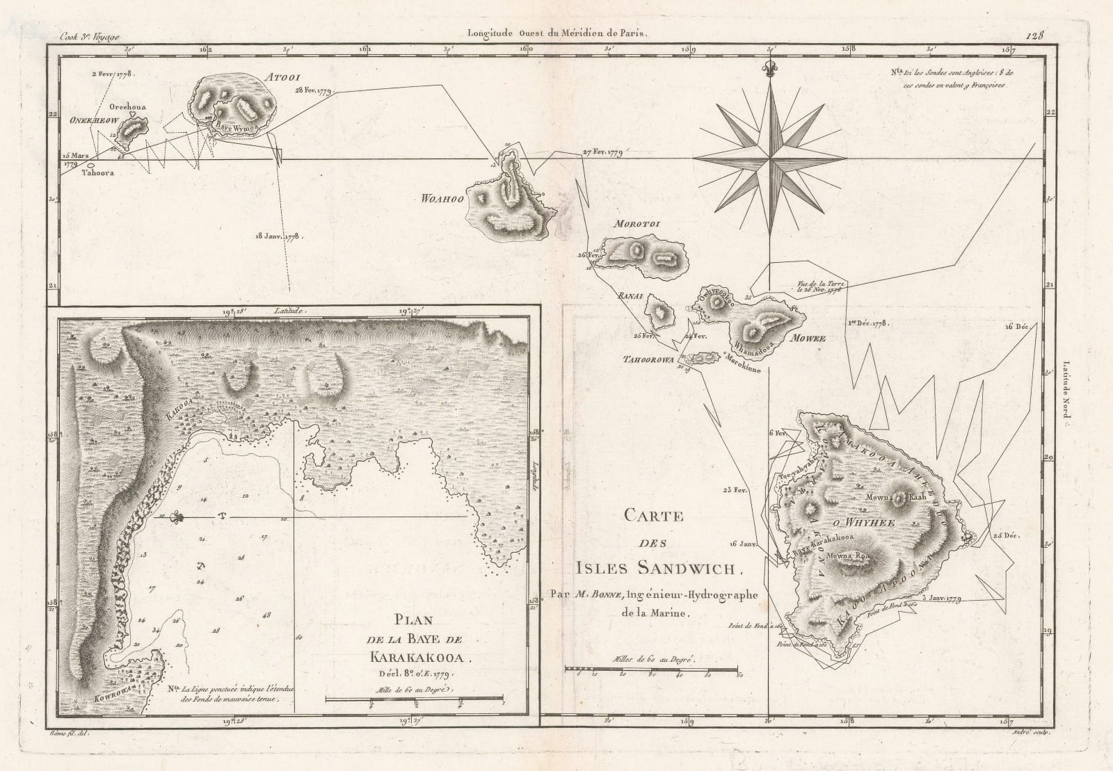
This early map of the Hawaiian Islands is based on the survey performed by Captain Cook and shows the route of his ship on his third voyage in 1778. It was translated into French and published by Rigobert Bonne for his Atlas encyclopédique. A large inset on the lower left highlights Karakakooa Bay (Kealakekua Bay), the site where Cook was killed in 1779.
[USA9823]


