-
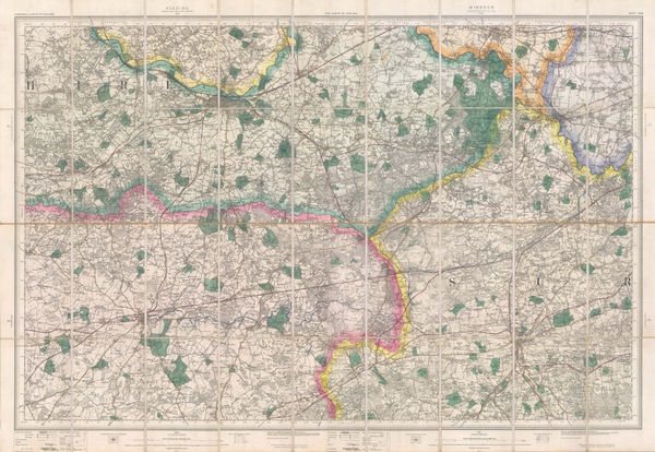
 Ordnance Survey, The Country around Sandhurst, 1895£ 295.00
 -
W. & A.K. Johnston, Railway Map of England and Wales, 1895£ 795.00
-
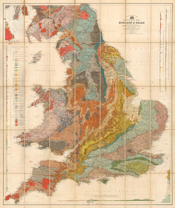
Sir Archibald Geikie, Geological Map of England & Wales, 1897 (c.)£ 550.00
-
Edward Stanford, Map of the English Lake District, 1899£ 395.00
-
Emil Reich, Battle of Marston Moor and Battle of Naseby, 1903£ 55.00
-
Emil Reich, Roman Britain, 1903£ 58.00
-
Emil Reich, Wars of the Roses, 1903£ 55.00
-
George Philip & Son Ltd., Perrier Motor Map of England & Wales, 1906 (c.)£ 295.00
-
George W. Bacon, Richardson's Map of South East and Central England, 1910 c.£ 345.00
-
J.F. Bennet, Bennet's Map of the River Thames from Oxford to Gravesend, 1910 c.£ 1,350.00
-
Lilian Tennant, England, 1912£ 385.00
-
Railway Clearing House, Official Railway Map of the West of England, 1918£ 395.00
-
Alexander Gross, Pictorial Map of the Thames and Medway, 1925 c.£ 945.00
-
Rand, McNally & Co., A Pictorial Chart of English Literature, 1929£ 1,450.00
-
Anonymous, Portuguese WW2 Propaganda, 1943 c.£ 650.00
-
Royal Geographical Society (RGS), Britain's Areas of Natural Beauty, 1944£ 78.00
-
Sifton Praed & Co., Fisherman's Map of Salmon Pools on the River Wye (Lower), 1975 c.£ 75.00
-
Sifton Praed & Co., Fisherman's Map of Salmon Pools on the River Wye (Upper), 1975 c.£ 75.00


Page
2
of 2