-
 Robert Morden, The Isle of Mona, now Anglesey, 1701£ 125.00
 -
Robert Morden, Gloucestershire, 1701£ 225.00
-
Robert Morden, Canaan, 1701£ 395.00
-
Olfert Dapper, The City and Harbour of Rhodes, 1702£ 375.00
-
Guillaume De L'Isle, The British Isles, 1702£ 925.00
-
Nicolas de Fer, Scarce map of Southeast Asia, 1702£ 885.00
-
Nicolas de Fer, Mappe-Monde ou Carte Universelle, 1702£ 1,450.00
-
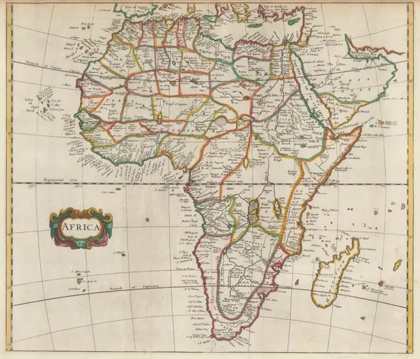
Nicolas de Fer, Southern & Central Africa, 1702£ 795.00
-
Nicolas Visscher, The Biblical World in the Old Testament, 1702£ 785.00
-
Robert Morden, North & West Africa, 1702£ 175.00
-
Jacob & Hendrik Keur, Double Hemisphere World Map, 1702£ 3,950.00
-
Jeremiah Seller, Chart of the Atlantic and the West Indies, 1703£ 1,750.00
-
Gabriel Bodenehr, Carta Hydrographica oder Algemeine Welt und Commercien Carte, 1704£ 750.00
-
Gabriel Bodenehr, Europe, 1704£ 245.00
-
John Harris, Africa, 1705£ 385.00
-
Guillaume De L'Isle, Duchy of Brabant, 1705£ 280.00
-
Nicolas & Guillaume Sanson, The Canary Islands, 1705£ 545.00
-
Nicolas de Fer, Bourges, Centre-Val de Loire, 1705£ 235.00
-
Nicolas de Fer, Asia, 1705£ 380.00
-
Nicolas de Fer, Magellan Straits, 1705£ 550.00
-
Nicolas de Fer, Mississippi River, Florida and the Gulf of Mexico, 1705£ 2,650.00
-
Nicolas de Fer, Caribbean or the West Indies, 1705£ 950.00
-
Nicolas de Fer, India and the Malay Peninsula, 1705£ 500.00
-
Nicolas de Fer, Bird's-eye view of Messina, 1705£ 385.00
-
Nicolas de Fer, Northeast Africa, 1705£ 420.00
-
Nicolas de Fer, City plan of Dijon, 1705£ 220.00
-
Nicolas & Guillaume Sanson, T'Half Eilandt van Indien, 1705£ 325.00
-
This Draught of the North Pole is to shew all the Countries near and adjacent to it, 1705Herman MollSeries: LondonHerman Moll, This Draught of the North Pole is to shew all the Countries near and adjacent to it, 1705£ 1,450.00
-
Nicolas de Fer, Turin et ses Environs, 1705£ 1,950.00
-
Nicolas de Fer, Vienna, 1705£ 400.00
-
Nicolas de Fer, Cartagena and Environs, 1705£ 375.00
-
Nicolas de Fer, Poland & the Baltic States, 1705£ 550.00
-
Nicolas de Fer, Antwerp, 1705£ 325.00
-
Nicolas de Fer, Brazil, Peru, and the Amazon , 1705£ 325.00
-
Nicolas de Fer, China, Japan & Korea, 1705£ 885.00
-
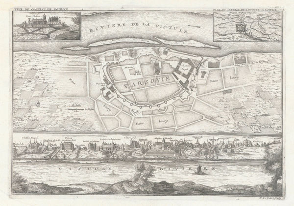
Nicolas de Fer, Warsaw, 1705£ 850.00
-
Nicolas de Fer, Cologne, 1705£ 295.00
-
Nicolas de Fer, Vienna & the Danube, 1705£ 495.00
-
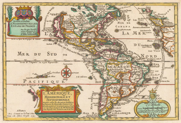
Nicolas de Fer, North and South America, 1705£ 1,950.00
-
Nicolas de Fer, Asia, 1705£ 795.00
-
Nicolas de Fer, Galicia, 1705£ 395.00
-
Nicolas de Fer, Munich, 1705£ 625.00
-
Nicolas de Fer, Milan, 1705£ 595.00
-
Nicolas de Fer, Copenhagen, 1705£ 425.00
-
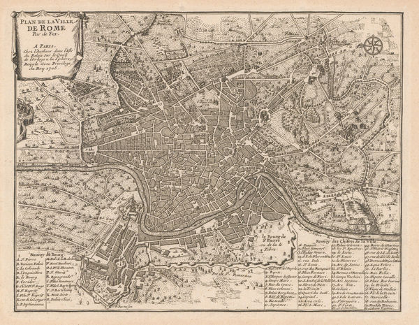
Nicolas de Fer, Rome, 1705£ 595.00
-
Nicolas de Fer, Venice, 1705£ 985.00
-
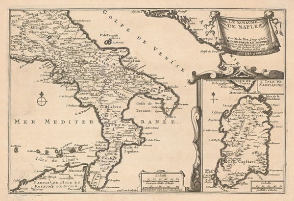
Nicolas de Fer, Naples, 1705£ 595.00
-
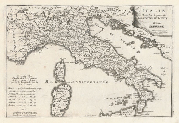
Nicolas de Fer, Italy, 1705£ 425.00
-
Nicolas de Fer, Savoy, 1705£ 385.00
-
Nicolas de Fer, Eastern Coast of North America, 1705£ 1,950.00
-
Nicolas de Fer, Britanny, 1705£ 325.00
-
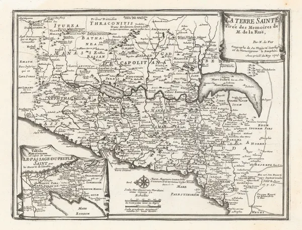
Nicolas de Fer, The Holy Land, 1705£ 595.00
-
Nicolas de Fer, Sicily, 1705£ 525.00
-
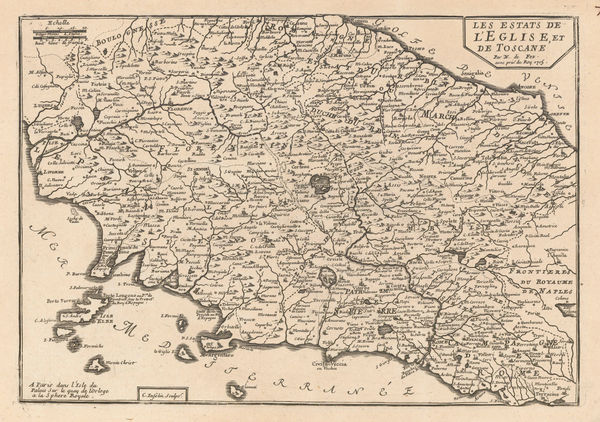
Nicolas de Fer, Tuscany and the Papal States, 1705£ 425.00
-
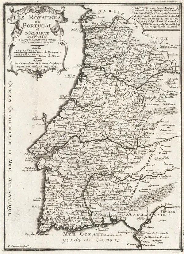
Nicolas de Fer, Portugal, 1705£ 350.00
-
Nicolas de Fer, Southern Italy , 1705£ 395.00
-
Nicolas de Fer, Quebec and the St. Lawrence River, 1705£ 795.00
-
Nicolas de Fer, Constantinople (Istanbul), 1705£ 895.00
-
Nicolas de Fer, Bay of Pozzuoli, 1705£ 395.00
-
Nicolas de Fer, Iberia, 1705£ 395.00
-
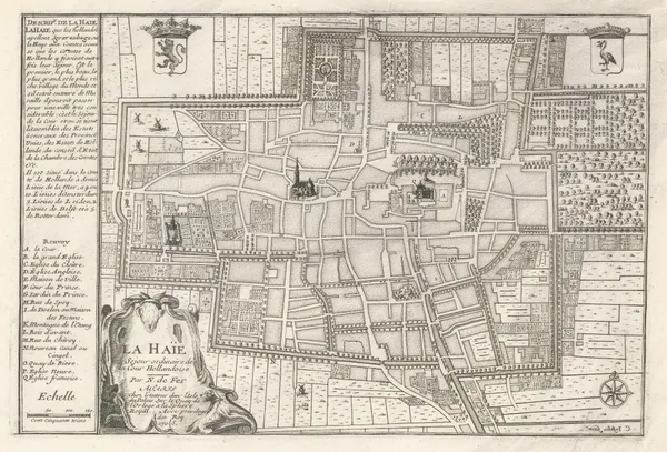
Nicolas de Fer, The Hague, 1705£ 595.00
-
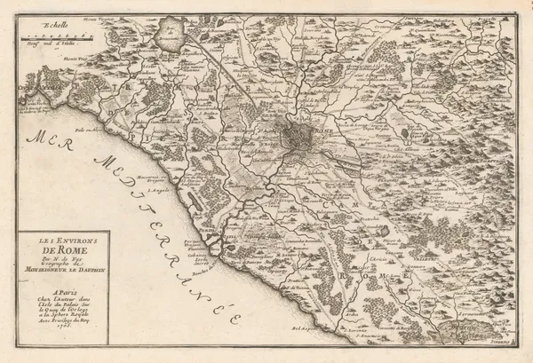
Nicolas de Fer, The Environs of Rome, 1705£ 295.00
-
Nicolas de Fer, Brussels, 1705£ 325.00
-
Nicolas de Fer, United Kingdom, 1705£ 595.00
-
Nicolas de Fer, Europe, 1705£ 495.00
-
Nicolas de Fer, The Middle East, 1705£ 525.00
-
Nicolas de Fer, Southern Italy, 1705£ 395.00
-
Nicolas de Fer, Provence, 1705£ 345.00
-
Nicolas de Fer, Normandy, 1705£ 295.00
-
Nicolas de Fer, Straits of Gibraltar, 1705£ 495.00
-
Nicolas de Fer, Pondicherry, 1705£ 295.00
-
Nicolas de Fer, L'Isle de Wight, 1705£ 485.00
-
The Duchy of Milan with parts of the States of Venice, Piedmont, Cremona and the Republic of Genoa, 1705Nicolas de FerSeries: FranceNicolas de Fer, The Duchy of Milan with parts of the States of Venice, Piedmont, Cremona and the Republic of Genoa, 1705£ 295.00
-
Nicolas de Fer, Alsace, 1705Sold
-
Nicolas de Fer, Northeast Spain, 1705£ 285.00
-
Nicolas de Fer, Languedoc, 1705£ 225.00
-
Nicolas de Fer, Southern Spain & Gibraltar , 1705£ 285.00
-
Nicolas de Fer, Switzerland, 1705£ 325.00
-
Nicolas de Fer, Genoa & the Italian Riviera, 1705£ 345.00
-
Nicolas de Fer, Chile, Argentina, Patagonia, Uruguay and Paraguay, 1705£ 425.00


Page
20
of 130