-
 Thomas Starling, Miniature map of the Middle East, 1830£ 115.00
 -
Society for the Diffusion of Useful Knowledge (SDUK), Rome, 1830£ 195.00
-
Thomas Starling, Portugal, 1830£ 95.00
-
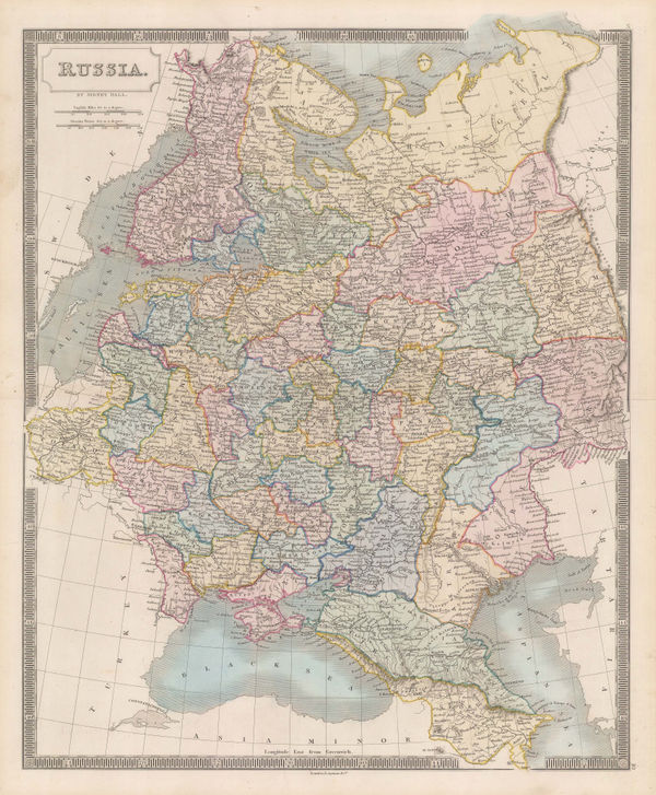
Thomas Starling, Russian Empire, 1830£ 48.00
-
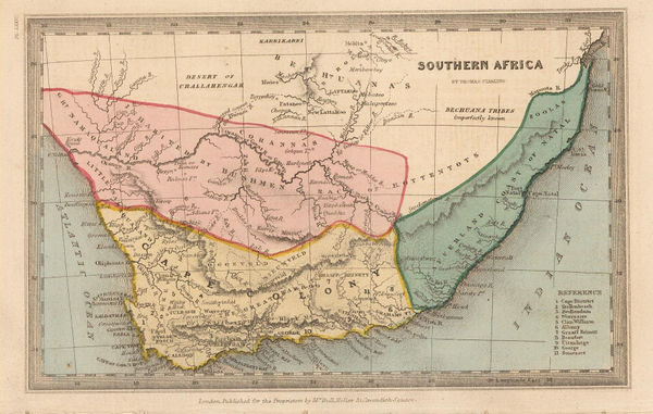
Thomas Starling, Southern Africa, 1830£ 165.00
-
Thomas Starling, West Indies, 1830£ 85.00
-
Thomas Starling, The World, 1830£ 295.00
-
Thomas Starling, The Austro-Hungarian Empire, 1830£ 50.00
-
Henry Teesdale, A Map of the County Palatine of Chester, 1830£ 1,550.00
-
Christopher & John Greenwood, Bristol and Environs, 1830 (c.)£ 150.00
-
Anonymous, Chart of the World, 1830 c£ 185.00
-
Cole & Roper, Hertfordshire, 1830 c£ 82.00
-
Daniel & William Lizars, Africa, 1830 c.£ 945.00
-
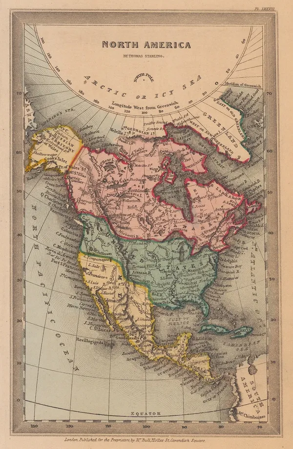
Eustache Herisson, North America, 1830 c.£ 85.00
-
Daniel & William Lizars, Asia, 1830 c.£ 825.00
-
John Gellatly, Asia, 1830 c.£ 65.00
-
James Wyld, Asia, 1830 c.£ 85.00
-
Sidney Hall, Asia, 1830 c.£ 175.00
-
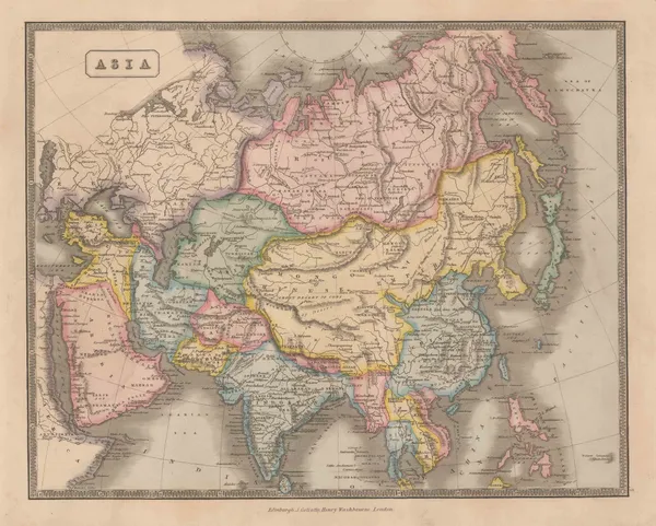
Thomas Starling, Asia, 1830 c.£ 85.00
-
Selina Hall, Australia, 1830 c.£ 525.00
-
Thomas Starling, Miniature map of Canada, 1830 c.£ 88.00
-
Thomas Starling, Canada, 1830 c.£ 48.00
-
Sidney Hall, Canada, New Brunswick and Nova Scotia, 1830 c.£ 525.00
-
Henry Teesdale, Cheshire, 1830 c.£ 95.00
-
James Pigot, Cumberland, 1830 c.£ 85.00
-
Henry Teesdale, Cumberland, 1830 c.£ 95.00
-
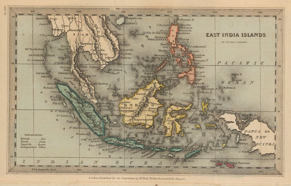
Thomas Starling, Miniature map of Southeast Asia, 1830 c.£ 95.00
-
Henry Teesdale, England and Wales, 1830 c.£ 295.00
-
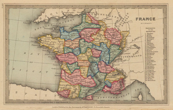
Thomas Starling, France, 1830 c.£ 52.00
-
Henry Teesdale, Leicestershire, 1830 c.£ 70.00
-
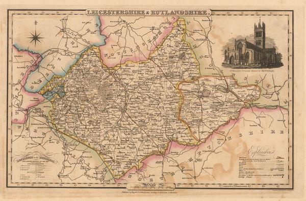
James Pigot, Leicestershire and Rutlandshire, 1830 c.£ 58.00
-
Henry Teesdale, Lincolnshire, 1830 c.£ 125.00
-
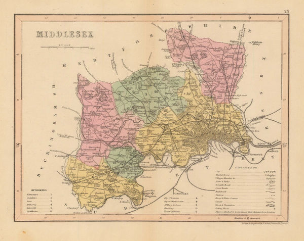
Joshua Archer, Middlesex, 1830 c.£ 44.00
-
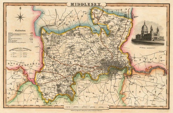
Isaac Slater, Middlesex, 1830 c.£ 180.00
-
James Pigot, Monmouthshire, 1830 c.£ 88.00
-
Robert Seaton, New Map of England and Wales, 1830 c.£ 3,500.00
-
Thomas Starling, North America, 1830 c.£ 195.00
-
Henry Teesdale, Northampton, 1830 c.£ 88.00
-
Isaac Slater, Northamptonshire, 1830 c.£ 78.00
-
James Pigot, Nottinghamshire, 1830 c.£ 88.00
-
Sidney Hall, European Russia, 1830 c.£ 115.00
-
James Pigot, Shropshire, 1830 c.£ 68.00
-
Charles Smith, Smith's London, 1830 c.£ 695.00
-
John Gellatly, South America, 1830 c.£ 75.00
-
Thomas Starling, Islands of the South Pacific, 1830 c.£ 115.00
-
Thomas Starling, Miniature map of Spain, 1830 c.£ 58.00
-
Henry Teesdale, Staffordshire, 1830 c.£ 115.00
-
James Pigot, Surrey, 1830 c.£ 175.00
-
Thomas Starling, Sweden and Norway, 1830 c.£ 80.00
-
Thomas Starling, Turkish Empire, 1830 c.£ 145.00
-
Thomas Moule, Worcestershire, 1830 c.£ 85.00
-
James Pigot, Worcestershire, 1830 c.£ 110.00
-
Thomas Starling, Poland, 1830 c.£ 175.00
-
Edward Quin, A.D. 1100. Period of the First Crusade, 1830 c.£ 245.00
-
Edward Quin, A.D. 1294. The Empire of Kublai Khan, 1830 c.£ 545.00
-
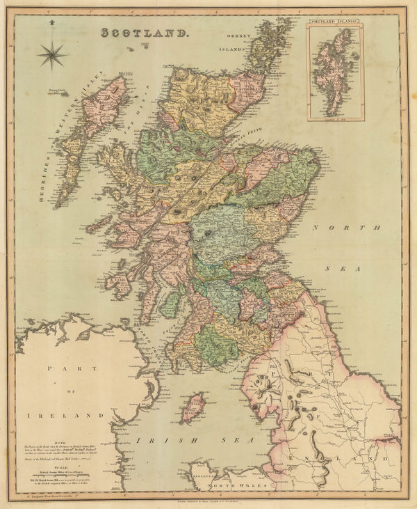
Henry Teesdale, Scotland, 1830 c.£ 375.00
-
Edward Quin, A.D. 1551. At the Death of Charles V., 1830 c.£ 495.00
-
Edward Quin, A.D. 1660. At the Restoration of the Stuarts, 1830 c.£ 495.00
-
Henry Teesdale, Glocestershire, 1830 c.£ 160.00
-
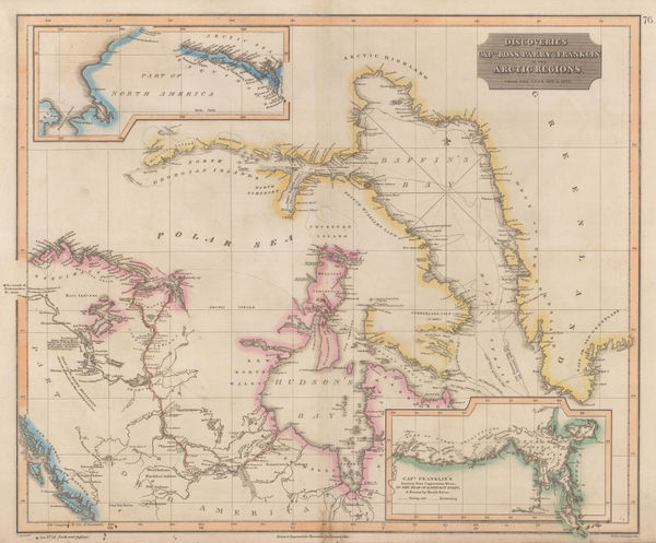
John Thomson, Discoveries of Ross, Parry & Franklin in the Arctic , 1830 c.£ 2,950.00
-
James Pigot, Warwickshire, 1830 c.£ 115.00
-
James Pigot, Devonshire, 1830 c.£ 175.00
-
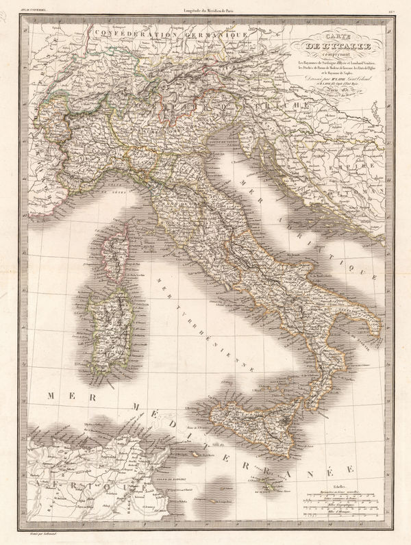
Alexandre Emile Lapie, Italy, 1831£ 120.00
-
Alexandre Emile Lapie, Spain, Portugal and the Balearic Islands, 1831£ 90.00
-
Society for the Diffusion of Useful Knowledge (SDUK), Egypt, 1831£ 80.00
-
Map of the County of Bedford from an Actual Survey by C. & J. Greenwood, 1831Christopher & John GreenwoodSeries: LondonChristopher & John Greenwood, Map of the County of Bedford from an Actual Survey by C. & J. Greenwood, 1831£ 395.00
-
Christopher & John Greenwood, Map of the County of Durham, 1831£ 525.00
-
Map of the County of Essex from an Actual Survey made in the Year 1824, 1831Christopher & John GreenwoodSeries: LondonChristopher & John Greenwood, Map of the County of Essex from an Actual Survey made in the Year 1824, 1831£ 675.00
-
Christopher & John Greenwood, Map of the County of Gloucester, 1831£ 625.00
-
Christopher & John Greenwood, Map of the County of Huntingdon, 1831£ 275.00
-
Christopher & John Greenwood, Map of the County of Lincoln, 1831£ 495.00
-
Christopher & John Greenwood, Map of the County of Monmouth, 1831£ 385.00
-
Map of the County of Nottingham from an Actual Survey, 1831Christopher & John GreenwoodSeries: LondonChristopher & John Greenwood, Map of the County of Nottingham from an Actual Survey, 1831£ 325.00
-
Christopher & John Greenwood, Map of the County of Rutland, 1831£ 300.00
-
Christopher & John Greenwood, Map of the County of Suffolk, 1831£ 650.00
-
Christopher & John Greenwood, Glamorgan, Brecon & Radnor, 1831£ 360.00
-
I.T. Hinton, Map of the States of Kentucky and Tennessee, 1831£ 220.00
-
Royal Geographical Society (RGS), Morocco and Marrakesh, 1831£ 395.00
-
Thomas Tegg, New Plan of London &c. with 360 References to the Principal Streets, 1831£ 875.00
-
Perrier et Gallet, Central Paris, 1831£ 345.00


Page
62
of 130