-
 F.A. Brockhaus, Stanley's discoveries in the Congo River Basin, 1878 c.£ 1,250.00
 -
James Wyld, Map of the Superficial Geology of London and its Environs, 1878 c.£ 825.00
-
Frank Arnold Gray, Pennsylvania, 1878 c.£ 140.00
-
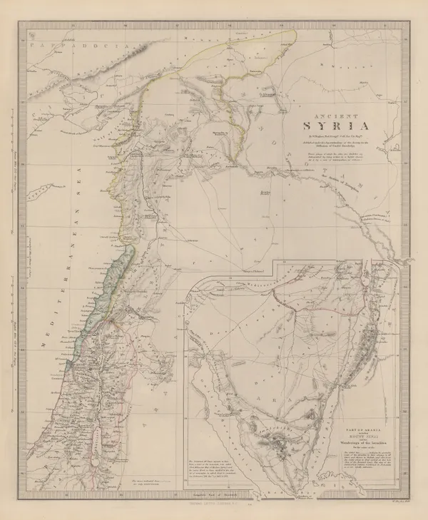
Society for the Diffusion of Useful Knowledge (SDUK), Ancient Syria, 1879£ 325.00
-
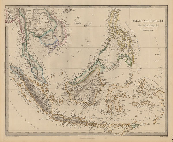
Society for the Diffusion of Useful Knowledge (SDUK), Southeast Asia, 1879£ 385.00
-
Society for the Diffusion of Useful Knowledge (SDUK), Australia & Tasmania, 1879£ 495.00
-
Society for the Diffusion of Useful Knowledge (SDUK), Kolkata (Calcutta), 1879£ 345.00
-
Aimé Robiquet, Chart of Australia, 1879£ 1,750.00
-
Society for the Diffusion of Useful Knowledge (SDUK), Eastern Siberia, 1879£ 85.00
-
Society for the Diffusion of Useful Knowledge (SDUK), Hamburg, 1879£ 225.00
-
Southeastern Pakistan, Gujarat and Rajastan, 1879Society for the Diffusion of Useful Knowledge (SDUK)Series: LondonSociety for the Diffusion of Useful Knowledge (SDUK), Southeastern Pakistan, Gujarat and Rajastan, 1879£ 125.00
-
Maharashtra and Karnataka provinces, 1879Society for the Diffusion of Useful Knowledge (SDUK)Series: LondonSociety for the Diffusion of Useful Knowledge (SDUK), Maharashtra and Karnataka provinces, 1879£ 125.00
-
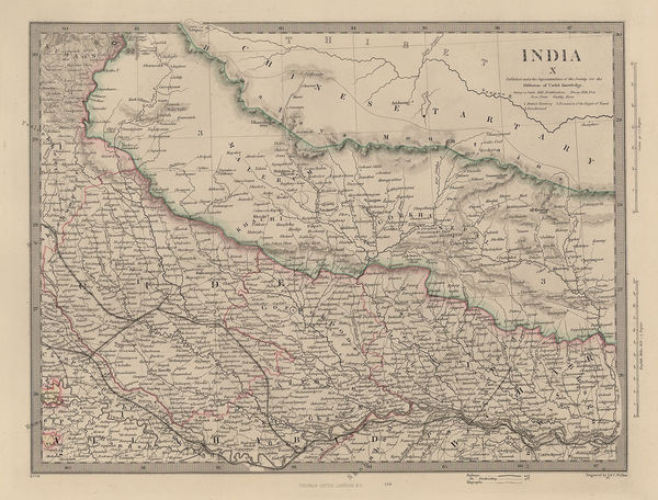
Nepal, Bihar & Uttar Pradesh, 1879Society for the Diffusion of Useful Knowledge (SDUK)Series: LondonSociety for the Diffusion of Useful Knowledge (SDUK), Nepal, Bihar & Uttar Pradesh, 1879£ 155.00
-
Society for the Diffusion of Useful Knowledge (SDUK), Ireland, 1879£ 235.00
-
British Admiralty, Kyle Akin Harbour, 1879£ 175.00
-
A. Simon, Havana, Cuba, 1879£ 445.00
-
A. Simon, Liepāja (Libau), 1879£ 175.00
-
Dawes Commission, Map of Indian Territory, 1879£ 775.00
-
Society for the Diffusion of Useful Knowledge (SDUK), City plan of Milan, 1879£ 265.00
-
Society for the Diffusion of Useful Knowledge (SDUK), New South Wales, 1879£ 345.00
-
Edward Stanford, Geological Map of Newfoundland, 1879£ 3,250.00
-
North Africa or Barbary - Tunis and Part of Tripoli, 1879Society for the Diffusion of Useful Knowledge (SDUK)Series: LondonSociety for the Diffusion of Useful Knowledge (SDUK), North Africa or Barbary - Tunis and Part of Tripoli, 1879£ 98.00
-
Society for the Diffusion of Useful Knowledge (SDUK), North America, 1879£ 195.00
-
North America: Parts of Wisconsin and Michigan, 1879Society for the Diffusion of Useful Knowledge (SDUK)Series: LondonSociety for the Diffusion of Useful Knowledge (SDUK), North America: Parts of Wisconsin and Michigan, 1879£ 245.00
-
James Van Vechten, Park and Guide Map of Chicago, 1879£ 2,450.00
-
Western Russia from St. Petersburg to Moscow, 1879Society for the Diffusion of Useful Knowledge (SDUK)Series: LondonSociety for the Diffusion of Useful Knowledge (SDUK), Western Russia from St. Petersburg to Moscow, 1879£ 145.00
-
Sketch Map of a Portion of the March of the Tal-Chotiali Field-Force from Kandahar to India, 1879Royal Geographical Society (RGS)Series: LondonRoyal Geographical Society (RGS), Sketch Map of a Portion of the March of the Tal-Chotiali Field-Force from Kandahar to India, 1879£ 295.00
-
Sketch Map of Native Routes from Dar Es Salaam Towards the Head of Lake Nyassa, 1879Royal Geographical Society (RGS)Series: LondonRoyal Geographical Society (RGS), Sketch Map of Native Routes from Dar Es Salaam Towards the Head of Lake Nyassa, 1879£ 125.00
-
Colombia, Venezuela and Ecuador, 1879Society for the Diffusion of Useful Knowledge (SDUK)Series: LondonSociety for the Diffusion of Useful Knowledge (SDUK), Colombia, Venezuela and Ecuador, 1879£ 295.00
-
The Graphic Magazine, The British and Russian Frontiers in Central Asia, 1879£ 95.00
-
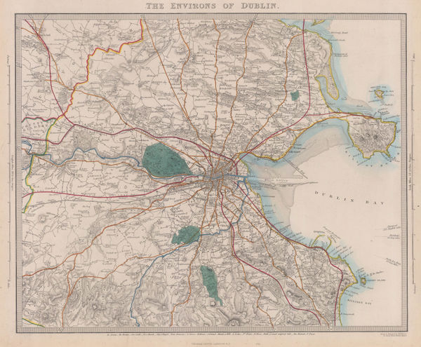
Society for the Diffusion of Useful Knowledge (SDUK), The Environs of Dublin, 1879£ 245.00
-
The Sulimani Mountains on the Afghan Frontier of British India, 1879Royal Geographical Society (RGS)Series: LondonRoyal Geographical Society (RGS), The Sulimani Mountains on the Afghan Frontier of British India, 1879£ 625.00
-
Society for the Diffusion of Useful Knowledge (SDUK), Vienna, 1879£ 145.00
-
Society for the Diffusion of Useful Knowledge (SDUK), Africa, 1879£ 275.00
-
Society for the Diffusion of Useful Knowledge (SDUK), Frankfurt, 1879£ 265.00
-
Society for the Diffusion of Useful Knowledge (SDUK), West Africa II, 1879£ 95.00
-
Justus Perthes, Yucatan, 1879£ 295.00
-
Society for the Diffusion of Useful Knowledge (SDUK), Ancient Egypt, 1879£ 145.00
-
Justus Perthes, Bubonic Plague Outbreaks from 1346 to 1879, 1879£ 325.00
-
-
Society for the Diffusion of Useful Knowledge (SDUK), Pompeii, 1879£ 195.00
-
Society for the Diffusion of Useful Knowledge (SDUK), Florida, 1879£ 645.00
-
North Africa or Barbary - Parts of Egypt and Tripoli, 1879Society for the Diffusion of Useful Knowledge (SDUK)Series: LondonSociety for the Diffusion of Useful Knowledge (SDUK), North Africa or Barbary - Parts of Egypt and Tripoli, 1879£ 98.00
-
Justus Perthes, Tokyo and Mount Fuji, 1879£ 245.00
-
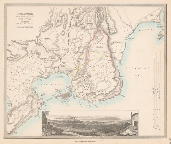
Society for the Diffusion of Useful Knowledge (SDUK), Syracuse, 1879£ 75.00
-
Royal Geographical Society (RGS), Northwest Arabia, 1879£ 485.00
-
A. Simon, French port atlas map of Kolkata (Calcutta, 1880£ 115.00
-
A. Simon, Chart of the docklands in Kolkata (Calcutta), 1880£ 295.00
-
F. Robaudy, Ligurian coast or Italian Riviera, 1880£ 495.00
-
-
-
Samuel Augustus Mitchell, County and Township Map of Arizona and New Mexico, 1880£ 225.00
-
County and Township Map of the States of New Hampshire and Vermont, 1880Samuel Augustus MitchellSeries: PhiladelphiaSamuel Augustus Mitchell, County and Township Map of the States of New Hampshire and Vermont, 1880£ 120.00
-
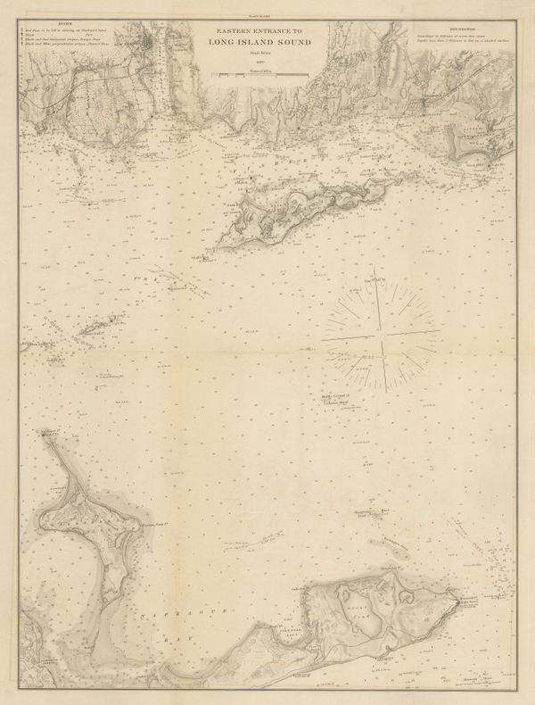
Atlantic Coast Pilot, Eastern Entrance to Long Island Sound, 1880£ 245.00
-
Coast of Rhode Island from Cuttyhunk to Point Judith, 1880Atlantic Coast PilotSeries: Washington, D.C.Atlantic Coast Pilot, Coast of Rhode Island from Cuttyhunk to Point Judith, 1880£ 325.00
-
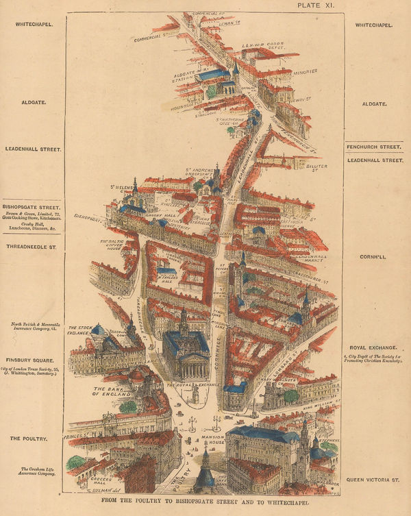
Thomas Sulman, From the Poultry to Bishopsgate Street and to Whitechapel, 1880£ 135.00
-
-
Royal Geographical Society (RGS), King William Land, 1880£ 115.00
-
Atlantic Coast Pilot, Long Island Sound, 1880£ 225.00
-
Atlantic Coast Pilot, Long Island Sound, 1880£ 245.00
-
Royal Geographical Society (RGS), Map of the Barents & Kara Seas, 1880£ 195.00
-
Map of the Central Portion of South Africa Illustrating Dr. Holub's Journeys 1873-9, 1880Royal Geographical Society (RGS)Series: LondonRoyal Geographical Society (RGS), Map of the Central Portion of South Africa Illustrating Dr. Holub's Journeys 1873-9, 1880£ 165.00
-
Royal Geographical Society (RGS), Map of The Country Between Sind and Candahar, 1880£ 295.00
-
North America Sheet XI - Parts of North and South Carolina, 1880Society for the Diffusion of Useful Knowledge (SDUK)Series: LondonSociety for the Diffusion of Useful Knowledge (SDUK), North America Sheet XI - Parts of North and South Carolina, 1880£ 80.00
-
James Stewart's route between Lake Malawi and Lake Tanganyika, 1880Royal Geographical Society (RGS)Series: LondonRoyal Geographical Society (RGS), James Stewart's route between Lake Malawi and Lake Tanganyika, 1880£ 125.00
-
Royal Geographical Society (RGS), The Andaman Islands, 1880£ 125.00
-
-
Letts & Son, Constellations - Southern Hemisphere, 1880£ 65.00
-
Letts & Son, Constellations - Northern Hemisphere, 1880£ 65.00
-
Letts & Son, Constellations - Cancer, Gemini & Canis Major, 1880£ 65.00
-
Letts & Son, Constellations - Scorpio, Sagittarius & Capricorn, 1880£ 65.00
-
Letts & Son, Constellations - Virgo, Leo & Hydra, 1880£ 65.00
-
Ordnance Survey, Bristol, the Cotswolds, Chepstow & the Severn, 1880£ 295.00
-
Edward Stanford, Railway Map of the British Isles, 1880£ 495.00
-
Map of the Route of the R.G.S. East African Expedition to Lakes Nyassa & Tanganyika, 1880Royal Geographical Society (RGS)Series: LondonRoyal Geographical Society (RGS), Map of the Route of the R.G.S. East African Expedition to Lakes Nyassa & Tanganyika, 1880£ 225.00
-
-
Joseph Hardwick, Bradford, 1880£ 1,500.00
-
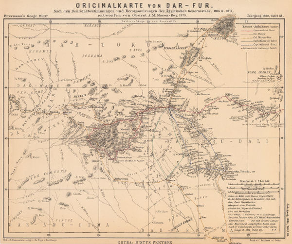
Justus Perthes, Darfur, Sudan, 1880£ 68.00
-
Justus Perthes, Greenland, 1880£ 175.00
-
Justus Perthes, Southern Chile, 1880£ 195.00


Page
88
of 131