-
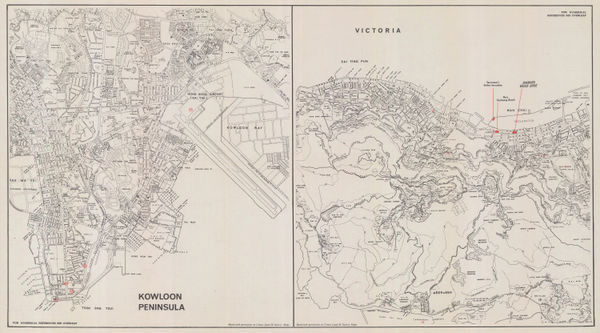
 Servicemen's Guides, Hong Kong, 1960 c£ 545.00
 -
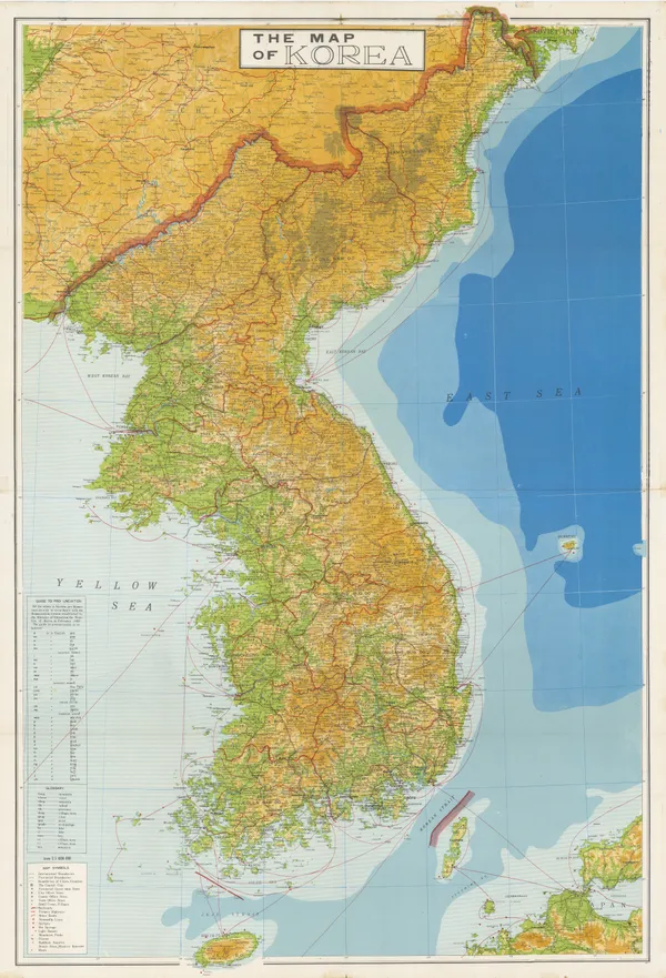
Anonymous, Korea, 1960 c£ 595.00
-
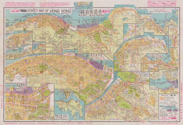
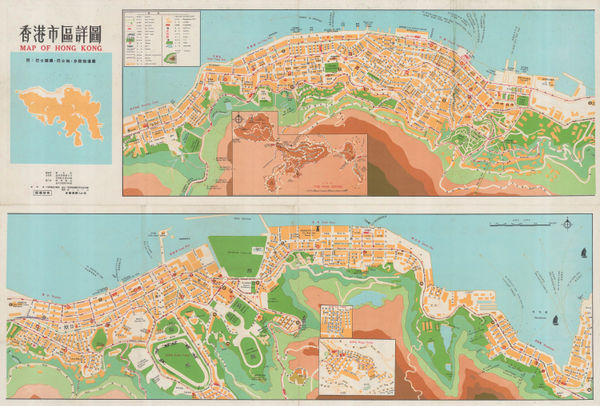
Jan Jan Co., Street Map of Hong Kong, 1962£ 3,250.00
-
British Admiralty, Hsiang-Shan Chiang to Yung Chiang, 1965£ 325.00
-
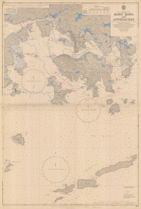
British Admiralty, Hong Kong and Approaches, 1966£ 750.00
-
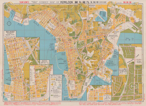
Sun Sun Co., Street Map of Kowloon, 1966£ 1,850.00
-
Liu Yong Zhang, Map of Hong Kong, 1970 c£ 1,250.00
-
Anonymous, Hong Kong, 1970 c.£ 375.00
-
Crown Lands and Survey Office Hong Kong, Hong Kong, 1975£ 850.00
-
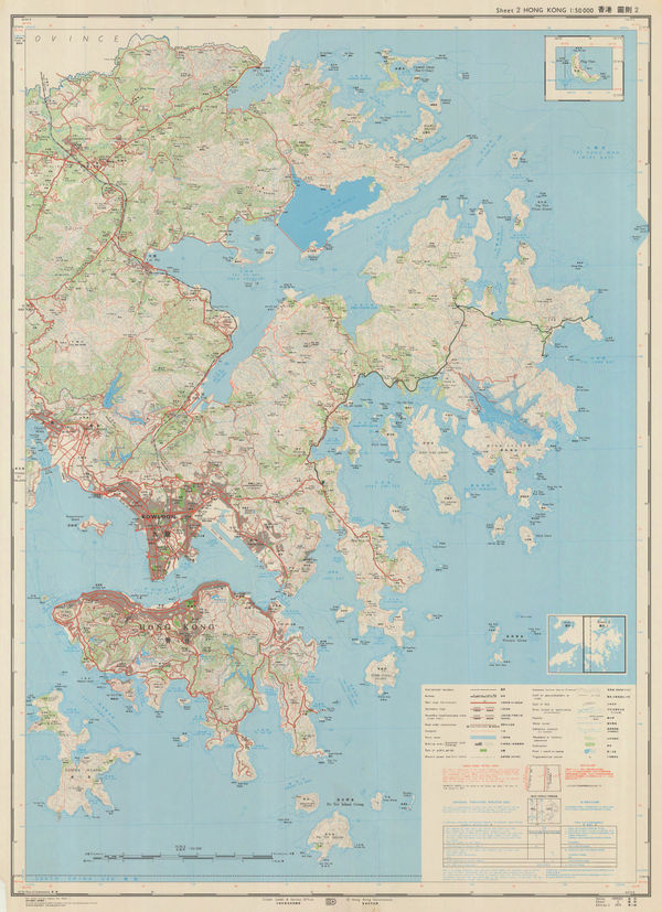
Geographical Section, General Staff (GSGS), Hong Kong, Kowloon and the New Territories, 1976£ 1,200.00
-
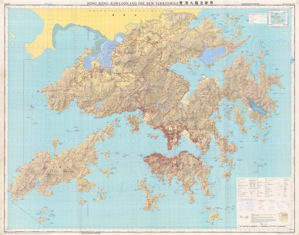
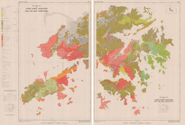
Geological Map of Hong Kong, Kowloon and the New Territories, 1977Crown Lands SurveySeries: Hong KongCrown Lands Survey, Geological Map of Hong Kong, Kowloon and the New Territories, 1977£ 2,500.00
-
Hong Kong Lands Survey Dept., Lantau Island [大嶼山 及 離島 ], 1980£ 275.00


![Hong Kong Lands Survey Dept., Lantau Island [大嶼山 及 離島 ], 1980](https://static-assets.artlogic.net/w_600,c_limit,f_auto,fl_lossy,q_auto/artlogicstorage/themaphouse/images/view/265673207d9995fa19600334443ea8ccj/themaphouse-hong-kong-lands-survey-dept.-lantau-island-1980.jpg)
Page
5
of 5