-

-
Abraham Ortelius, La Florida, 1598£ 2,950.00
-
Jodocus Hondius, Southeast coast of the United States, 1619£ 2,250.00
-
Mercator Hondius, North and South Carolina, Virginia and Georgia, 1621£ 925.00
-
Johannes [Jan] de Laet, Florida and the Southeast, 1630£ 3,500.00
-
Jan Jansson, South-eastern coast of USA , 1666£ 1,950.00
-
John Ogilby, Georgia & the Carolinas, 1670 c.£ 1,750.00
-
John Speed, North and South Carolina, 1676£ 3,950.00
-
Alain Manesson Mallet, Floride, 1683£ 695.00
-
Robert Morden, North and South Carolina, 1688£ 875.00
-
Pierre Duval, Florida, 1694£ 775.00
-
Pierre Mortier, Uncommon map of North and South Carolina, 1700£ 3,200.00
-
Nicolas & Guillaume Sanson, Spanish Florida, 1700£ 1,500.00
-
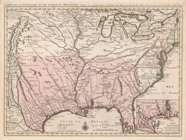
Nicolas de Fer, Mississippi River, Florida and the Gulf of Mexico, 1705£ 2,650.00
-
Nicolas de Fer, Eastern Coast of North America, 1705£ 1,950.00
-
Pieter van der Aa, Southern USA from Virginia to Florida, 1707£ 895.00
-
Pieter van der Aa, Southern USA, Florida and the Gulf of Mexico, 1713£ 1,650.00
-
Pieter van der Aa, Florida and Mississippi, 1714£ 1,450.00
-
Pieter van der Aa, Virginia, North and South Carolina and northern Florida, 1714£ 1,950.00
-
-
Southern United States, Mexico, Central America and the Caribbean, 1720 c.Johann Baptist HomannSeries: NurembergJohann Baptist Homann, Southern United States, Mexico, Central America and the Caribbean, 1720 c.£ 2,250.00
-
Covens (Jean) & Mortier (Cornelius), Louisiana and the Mississippi River, 1730 (c.)£ 3,450.00
-
Louisiana, Florida and the Gulf of Mexico, 1735 c.Covens (Jean) & Mortier (Cornelius)Series: AmsterdamCovens (Jean) & Mortier (Cornelius), Louisiana, Florida and the Gulf of Mexico, 1735 c.£ 1,200.00
-
Herman Moll, Southern America, Mexico and Central America, 1745£ 395.00
-
Robert de Vaugondy, French Louisiana and the course of the Mississippi River, 1749£ 295.00
-
Jacques-Nicolas Bellin, Early map of Louisiana and the Mississippi Valley, 1750£ 445.00
-
Herman Moll, Florida and Louisiana, 1750 c.£ 1,250.00
-
-
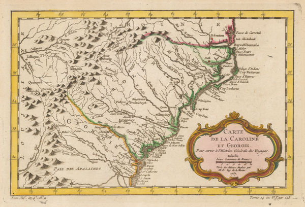
Jacques-Nicolas Bellin, Georgia and North and South Carolina, 1757£ 675.00
-
Jacques-Nicolas Bellin, Coastal chart from Cape Fear to St. Augustine, 1760 c.£ 345.00
-
Veremondo Rossi, Caribbean, Central American and Southern United States, 1763£ 545.00
-
Andrea Scacciati, Florida, 1763£ 950.00
-
Jacques-Nicolas Bellin, Florida and Louisiana coast, 1764£ 4,950.00
-
Jacques-Nicolas Bellin, French Louisiana, 1764£ 395.00
-
London Magazine, Louisiana, as formerly claimed by France, 1765£ 375.00
-
Francois Santini, Louisiana, Florida and the Carolinas, 1776£ 985.00
-
Antoine de Sartine, Chart of the coast from New Jersey to Georgia, 1778£ 3,950.00
-
Southern United States just after the signing of the Declaration of Independence, 1778Antonio ZattaSeries: VeniceAntonio Zatta, Southern United States just after the signing of the Declaration of Independence, 1778£ 545.00
-
-
Rigobert Bonne, North and South Carolina and Georgia, 1780 c.£ 285.00
-
Antonio Zatta, Mexico, Texas & the Southern USA, 1785£ 795.00
-
A New and General Map of the Southern Dominions Belonging to The United States of America, 1794Laurie & WhittleSeries: LondonLaurie & Whittle, A New and General Map of the Southern Dominions Belonging to The United States of America, 1794£ 3,500.00
-
A Map of the States of Virginia, North Carolina, South Carolina and Georgia, 1795Joseph PurcellSeries: EdinburghJoseph Purcell, A Map of the States of Virginia, North Carolina, South Carolina and Georgia, 1795£ 1,925.00
-
J. Denison, North and South Carolina, 1796£ 475.00
-
Abraham Bradley, Map of the Southern United States of America, 1797£ 850.00
-
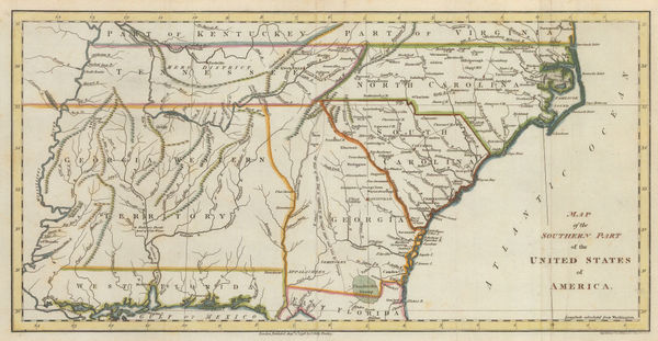
John Russell, Map of the Southern Part of the United States of America, 1798£ 745.00
-
Tardieu, North and South Carolina and Virginia, 1800£ 825.00
-
John Pinkerton, Southeastern United States, 1809£ 1,650.00
-
John Thomson, Eastern United States, 1817£ 1,250.00
-
Richard Phillips, United States, 1820£ 185.00
-
John Cary, South-eastern United States, 1825£ 1,675.00
-
Philippe Vandermaelen, Mississippi and Alabama, 1827£ 650.00
-
Philippe Vandermaelen, Indiana, Kentucky, Ohio and West Virginia, 1827£ 550.00
-
Philippe Vandermaelen, North and South Caroline and Georgia, 1827£ 725.00
-
Society for the Diffusion of Useful Knowledge (SDUK), North America Sheet X, 1833£ 76.00
-
Samuel Augustus Mitchell, Southeastern United States, 1839£ 145.00
-
Harper's Magazine, Confederate United States, 1863£ 575.00
-
French Admiralty, Sea Chart of the East Coast, 1864£ 985.00
-
Phelps & Watson, Historical and Military Map of the Border and Southern States, 1864£ 1,550.00
-
Magnus' Historical War Map - One Hundred & Fifty Miles Around Richmond, 1864Charles MagnusSeries: New YorkCharles Magnus, Magnus' Historical War Map - One Hundred & Fifty Miles Around Richmond, 1864£ 1,250.00
-
Archibald Fullarton, Southeast United States, 1870 c.£ 78.00
-
Depot de la Marine, Chart of the coast from New Jersey to Florida, 1887£ 695.00
-
British Admiralty, Gulf of Mexico, 1891£ 1,550.00
-
British Admiralty, Cape Fear to Sapelo Sound, 1898£ 2,500.00
-
W. & A.K. Johnston, United States (S.E.), 1908£ 125.00
-
British Admiralty, North America East Coast - Delaware Bay to Florida Strait, 1942£ 950.00
USA - Southeast
Our entire inventory of over 10,000 antique and vintage maps is now available to browse by region, date, cartographer, and subject


![Johannes [Jan] de Laet, Florida and the Southeast, 1630](https://static-assets.artlogic.net/w_600,c_limit,f_auto,fl_lossy,q_auto/artlogicstorage/themaphouse/images/view/57ce486c201061945f9c5ea3c94828faj/themaphouse-johannes-jan-de-laet-florida-and-the-southeast-1630.jpg)