-
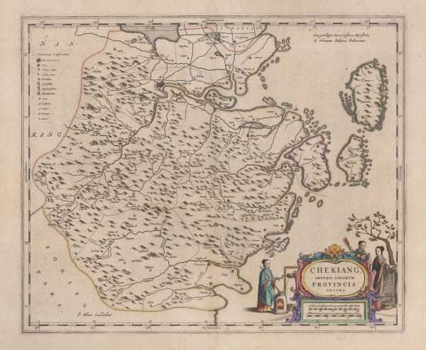
 Jan Blaeu, Zhejiang 浙江 Province, 1655£ 1,850.00
 -
 Jan Blaeu, Henan 河南 Province, 1655£ 1,250.00
 -
 Jan Blaeu, Jiangxi 江西 Province, 1655£ 1,250.00
 -
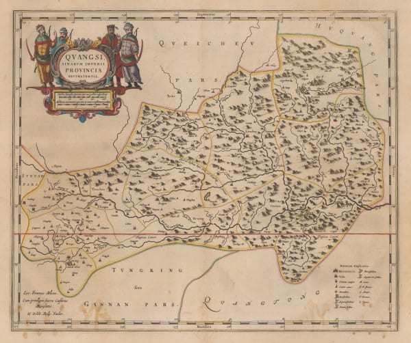
 Jan Blaeu, Guangxi 广西 Province, 1655£ 950.00
 -
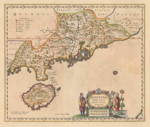
 Jan Blaeu, Guangdong 广东 Province, 1655£ 4,750.00
 -
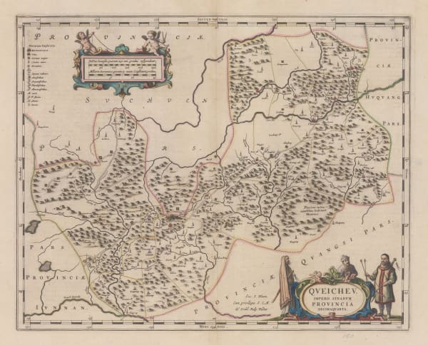
 Jan Blaeu, Guizhou 贵州 Province, 1655£ 1,550.00
 -
 Jan Blaeu, Shanxi 山西 Province, 1655£ 1,350.00
 -
 Jan Blaeu, Shaanxi 陕西 Province, 1655£ 1,450.00
 -
 Vincenzo Coronelli, Shanghai Province, 1690 c.£ 1,950.00
 -
 Vincenzo Coronelli, Hanang and Szechuan Provinces, 1690 c.£ 1,450.00
 -
 Vincenzo Coronelli, Yunnan, Guizhou and Guangxi regions, 1692£ 1,350.00
 -
 Vincenzo Coronelli, Shanghai Region, 1692£ 2,250.00
 -
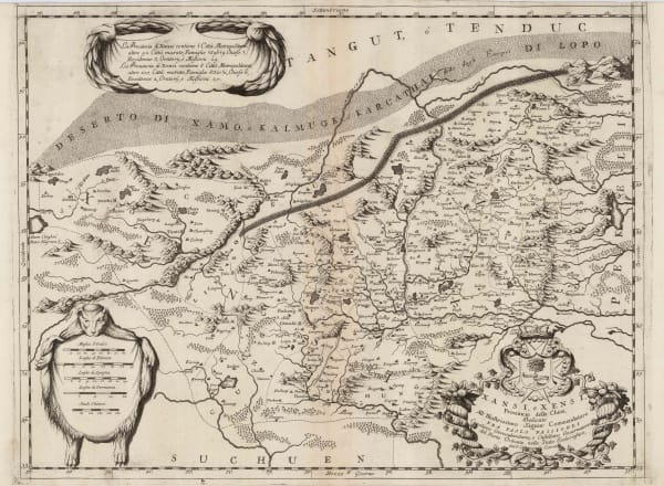
 Vincenzo Coronelli, Shanxi and Shaanxi provinces, 1692£ 1,350.00
 -
 Vincenzo Coronelli, Peking Province, 1692£ 2,250.00
 -
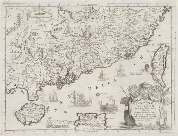
 Vincenzo Coronelli, Guangzhou and Fujian provinces, 1696£ 4,250.00
 -
 Valk & Schenk, Guangxi, Yunnan, Guangdong and Guizhou provinces, 1700 c.£ 2,450.00
 -
 Valk & Schenk, Fujian, Zhejiang, Hunan and Jiangxi provinces, 1710 c.£ 985.00
 -
 Valk & Schenk, Pecheli, Xansi, Xantung, Honan, Nanking, 1710 c.£ 885.00
 -
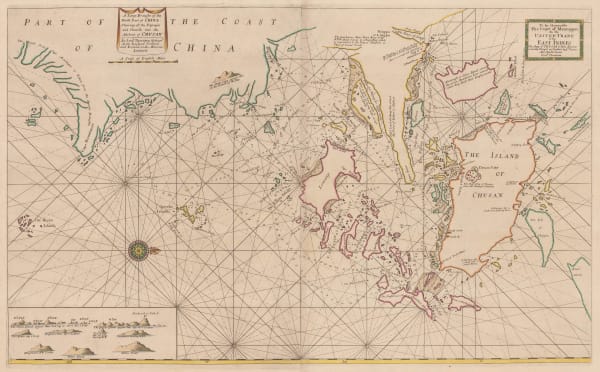
 Samuel Thornton, Chart of the Zhoushan Islands, 1711£ 650.00
 -
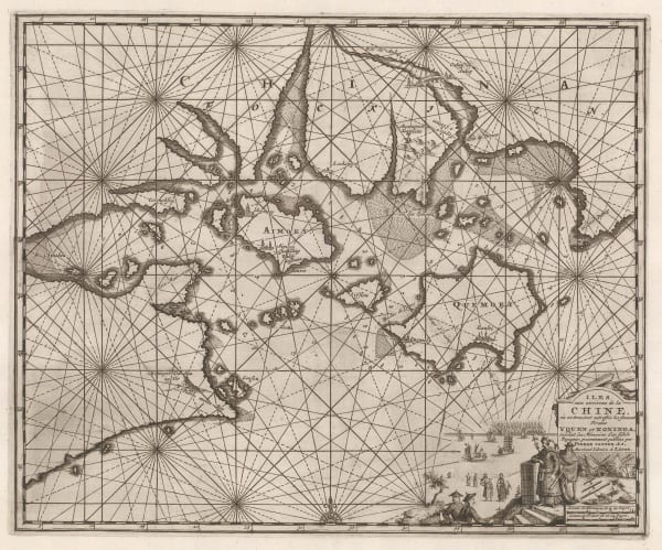
 Pieter van der Aa, Amoy Island and its surroundings, 1714£ 445.00
 -
 J.B.B. D'Anville, Huguang Province (Hunan and Hubei), 1737£ 525.00
 -
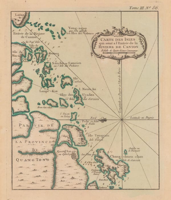
 Jacques-Nicolas Bellin, Mouth of the Pearl River, 1749£ 295.00
 -
 Jacques-Nicolas Bellin, Chart of the port of Macao, 1749£ 325.00
 -
 Jacques-Nicolas Bellin, Mouth of the Pearl River, 1760 c.£ 275.00
 -
 Jacques-Nicolas Bellin, Mouth of the Pearl River and southern shore of China, 1764£ 195.00
 -
 Jacques-Nicolas Bellin, Chusan Island, 1764£ 125.00
 -
 Jacques-Nicolas Bellin, Fuzhou & the Min River, 1764£ 145.00
 -
 Rigobert Bonne, Korean Peninsula and Northern China, 1771£ 265.00
 -
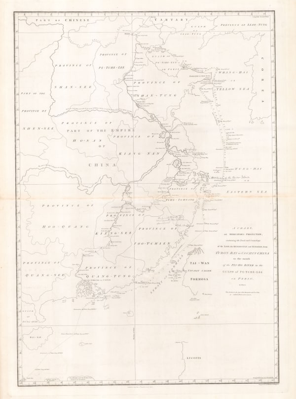
 Laurie & Whittle, Chart of the East China Sea, 1794£ 2,450.00
 -
 Laurie & Whittle, Rare chart of the Pearl River, 1794£ 4,250.00
 -
 Sir George Staunton, Track of H.M.S. Clarence through the Zhoushan Archipelago, 1796£ 295.00
 -
 Sir George Staunton, Chart of the ship routes of Sir George Staunton expedition, 1796£ 725.00
 -
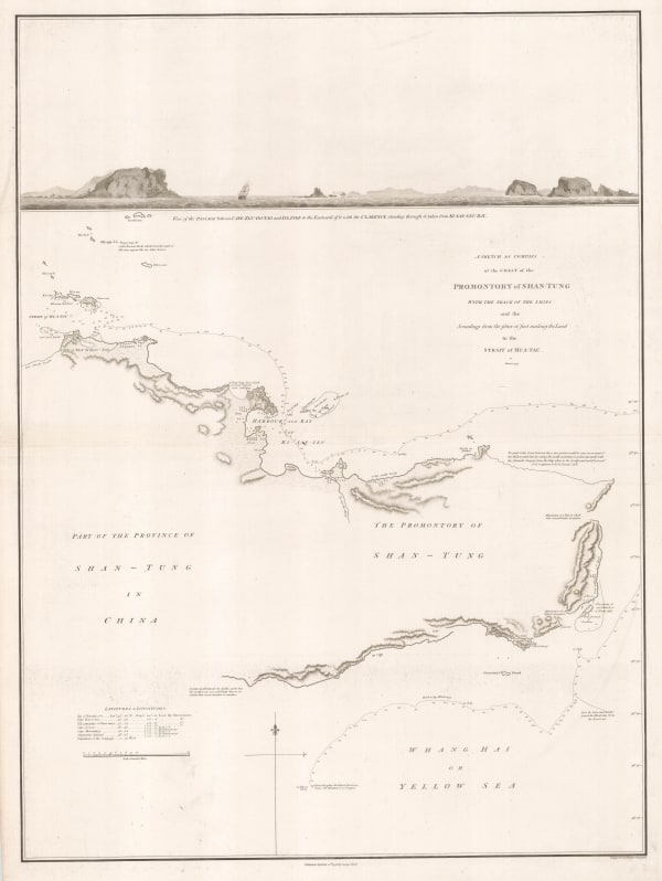
 Sir George Staunton, Coast of the Shandong peninsula, 1796£ 285.00
 -
 Sir George Staunton, Route map from Beijing to Hangzhou, 1796£ 985.00
 -
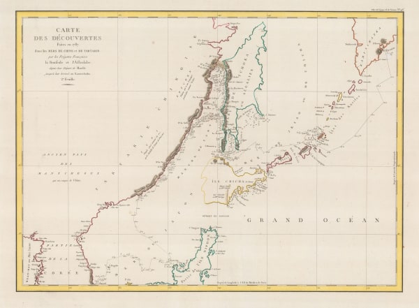
 Jean Francois de La Perouse, Chart of La Perouse's discoveries off the Pacific coast of Russia, 1797£ 220.00
 -
 Christian Louis Jose De Guignes, Chart of the mouth of the Pearl River and Macao, 1808£ 2,450.00
 -
 Philippe Vandermaelen, China - Beijing, Tiānjīn and Hebei, 1827£ 750.00
 -
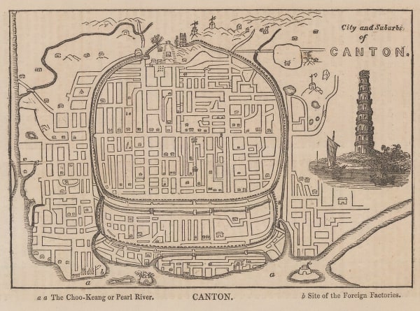
 Anonymous, City and Suburbs of Canton, 1835£ 48.00
 -
 William Hutcheon Hall, East coast of China from Canton to Nanking , 1845£ 345.00
 -
 William Hutcheon Hall, Hong Kong, Macao, Guangzhou & the Pearl River Mouth, 1845£ 950.00
 -
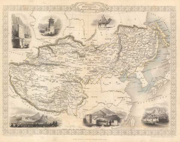
 John Tallis, Tibet, Mongolia and Manchuria, 1851£ 295.00
 -
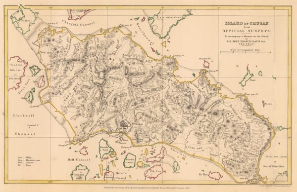
 Royal Geographical Society (RGS), Island of Chusan from Official Surveys, 1853£ 85.00
 -
 Royal Geographical Society (RGS), Map of the Amur and Adjacent Districts, 1858£ 225.00
 -
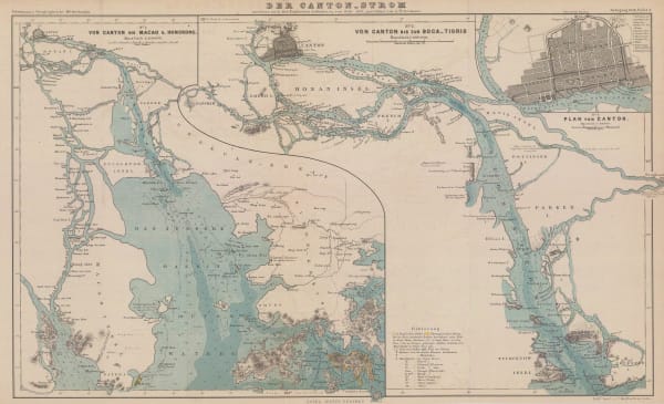
 Justus Perthes, The Pearl River from Guangzhou to Hong Kong, 1858£ 595.00
 -
 James Wyld, Allied Forces in Western China and Beijing, 1860 (c.)£ 2,950.00
 -
 Royal Geographical Society (RGS), China - The Yang-Tsze Kiang, 1862£ 375.00
 -
 Edward Weller, Coast of China, 1863£ 125.00
 -
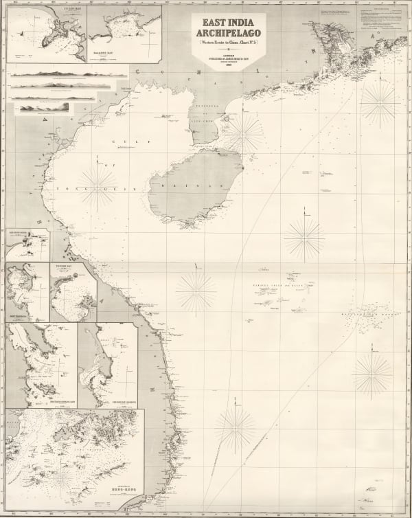
 James Imray, East Indian Archipelago. (Western Route to China. Chart No. 5), 1863£ 4,950.00
 -
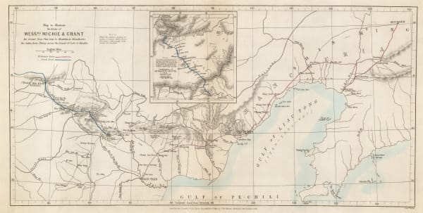
 Royal Geographical Society (RGS), Sketch map of Northern China, 1863£ 165.00
 -
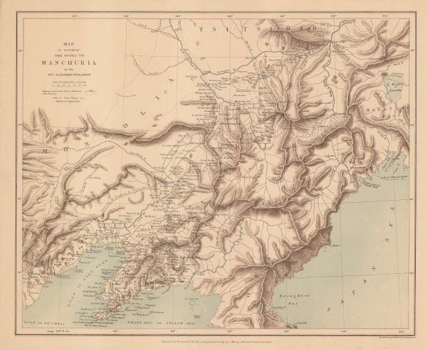
 Royal Geographical Society (RGS), Map to Accompany the Notes on Manchuria, 1870£ 175.00
 -
 Royal Geographical Society (RGS), Sketch Map Showing the Mineral & Silk Districts of the Province of Shan-Tung (China), 1870£ 265.00
 -
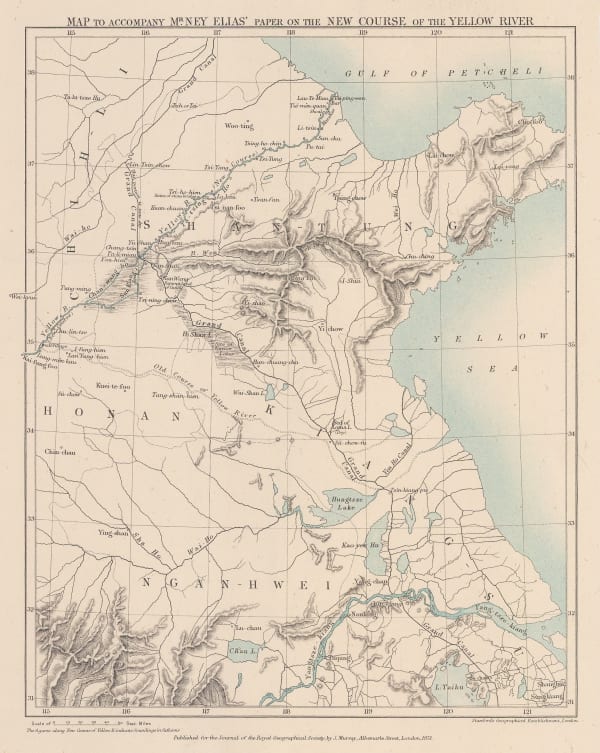
 Royal Geographical Society (RGS), Map to accompany Mr Ney Elias' paper on the New Course of the Yellow River, 1871£ 165.00
 -
 Royal Geographical Society (RGS), Route Map of Journey Through North China and Inner Mongolia, 1874£ 110.00
 -
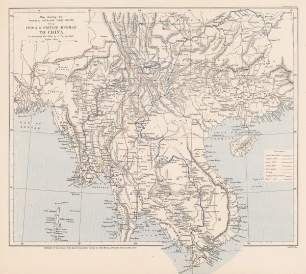
 Royal Geographical Society (RGS), Map Showing the Proposed Trade Routes from India & British Burmah to China, 1875£ 395.00
 -
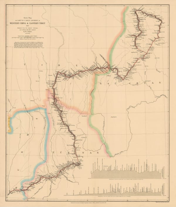
 Royal Geographical Society (RGS), Route Map of Capt. W. J. Gill's Journey in Western China & Eastern Tibet, 1878£ 255.00
 -
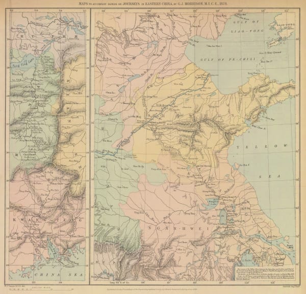
 Royal Geographical Society (RGS), Eastern China, 1880£ 275.00
 -
 Royal Geographical Society (RGS), Russo-Chinese Frontier in Turkistan, 1880£ 175.00
 -
 Royal Geographical Society (RGS), Sketch Map of South Western China, 1886£ 345.00
 -
 Royal Geographical Society (RGS), Map of Manchuria, 1887£ 275.00
 -
 G. & J. Bartholomew, Port Arthur - Shanghai, 1890 c.£ 125.00
 -
 F.A. Brockhaus, Macao, Canton (Guangzhou) and the Pearl River, 1893£ 62.00
 -
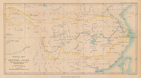
 Royal Geographical Society (RGS), Sketch Map of Central China showing the basin of the Yang-tse-chiang, 1898£ 225.00
 -
 Royal Geographical Society (RGS), Central and Southern Manchuria, 1899£ 395.00
 -
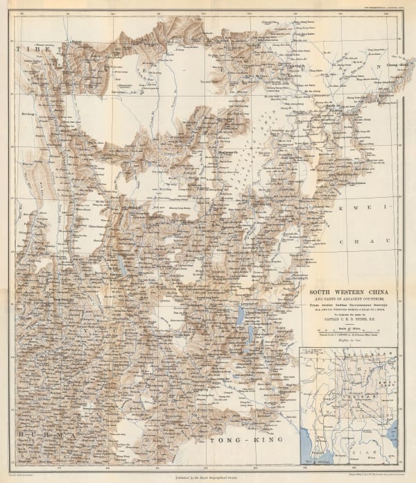
 Royal Geographical Society (RGS), South Western China, 1903£ 195.00
 -
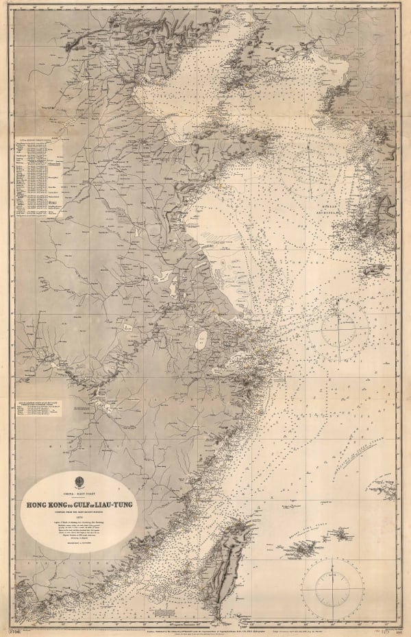
 British Admiralty, Hong Kong to Gulf of Liau-Tung, 1904£ 595.00
 -
 Edward Stanford, Map of the Seat of War in the Far East 1904, 1904£ 1,450.00
 -
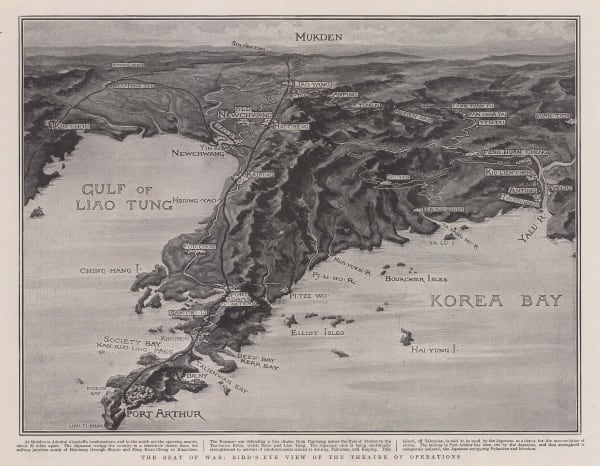
 The Graphic Magazine, The Seat of War: Bird's-Eye View of the Theatre of Operations, 1904£ 325.00
 -
 Royal Geographical Society (RGS), Central Asia - Leh to Peking, 1907£ 445.00
 -
 Royal Geographical Society (RGS), China - Routes and Rivers in An-Hui, 1907£ 225.00
 -
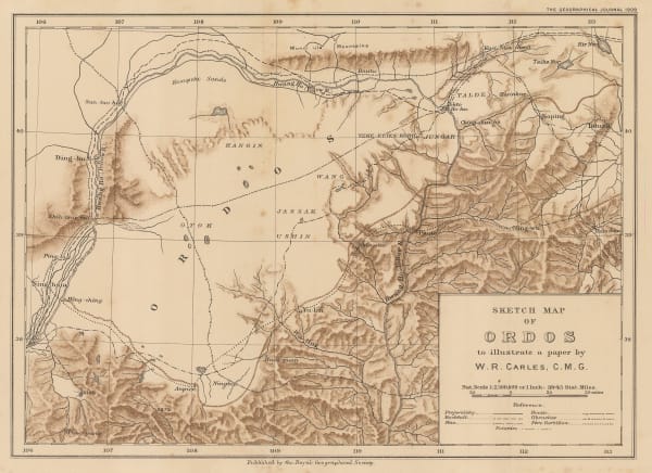
 Royal Geographical Society (RGS), Sketch Map of Ordos to illustrate a paper by W. R. Carles. C. M. G., 1909£ 185.00
 -
 Joseph Meyer, Macao, 1912£ 125.00
 -
 British Admiralty, Kue Shan Is. to the Yang Tse Kiang including the Chusan Archipelago, 1922£ 1,450.00
 -
 E. W. Gregory, Beijing, 1922£ 1,550.00
 -
 British Admiralty, Amoy to Nagasaki, 1923£ 1,350.00
 -
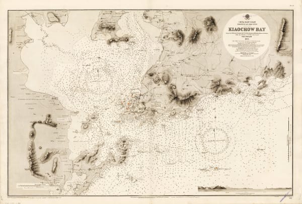
 British Admiralty, Kiaochow Bay, 1923£ 985.00
 -
 British Admiralty, The Brothers to Ockseu Is., 1923£ 1,950.00
 -
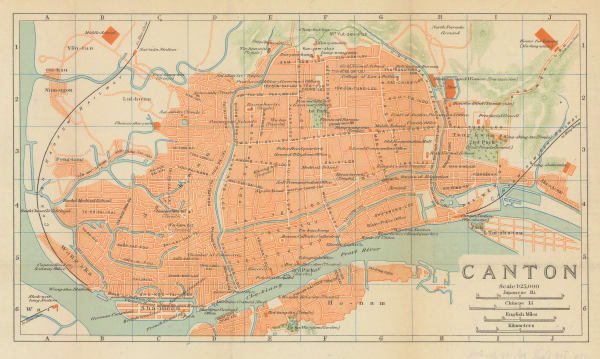
 Japanese Railways, Guangzhou (Canton), 1924£ 78.00
 -
 British Admiralty, The Brothers to Ockseu Is., 1930£ 1,750.00
 -
 British Admiralty, Kiaochow Bay, 1932£ 1,850.00
 -
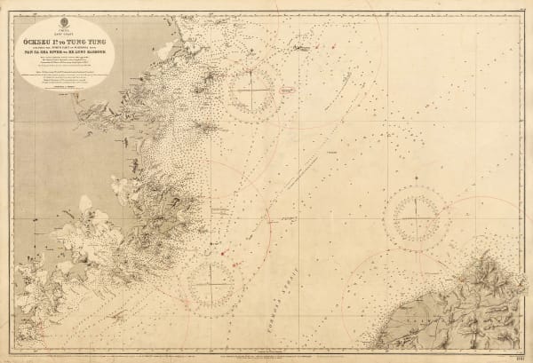
 British Admiralty, Ockseu Is. to Tung Yung, 1932£ 885.00
Page
1
of 2

