-
 Valk & Schenk, New England and Virginia, 1710 c.£ 2,300.00
 -
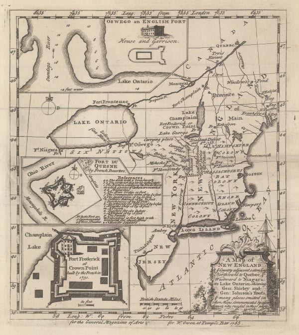
 William Owen, French & Indian War Map of New England, 1755£ 950.00
 -

-

-
 Antonio Zatta, North-eastern North America, 1779£ 675.00
 -
 Antoine de Sartine, Important map of the east coast of the United States and Canada, 1792 (c.)£ 3,250.00
 -
 John Reid, The State of New Hampshire Compiled chiefly from Actual Surveys, 1796£ 950.00
 -
 Morse and Andrews, New Hampshire, 1805£ 295.00
 -
 Samuel Lewis, The State of New Hampshire, 1805£ 325.00
 -
 Tardieu, North-eastern United States, 1810 c.£ 495.00
 -
 Philippe Vandermaelen, Northeastern United States, 1827£ 450.00
 -
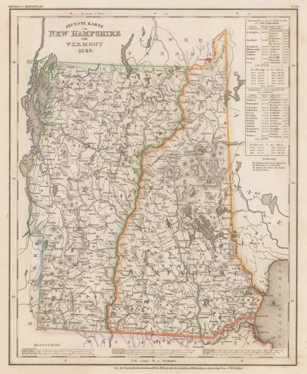
 Joseph Meyer, New Hampshire and Vermont, 1846£ 285.00
 -
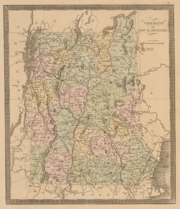
 Jeremiah Greenleaf, Vermont and New Hampshire, 1848£ 165.00
 -
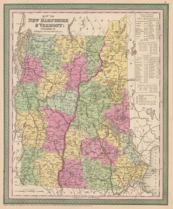
 Samuel Augustus Mitchell, Map of new Hampshire & Vermont, 1850£ 175.00
 -
 George Woolworth Colton, Colton's New Hampshire, 1855£ 85.00
 -
 Morse & Gaston, Vermont & New Hampshire, 1857£ 36.00
 -
 Samuel Augustus Mitchell, County map of the States of New York, New Hampshire, Vermont, Massachusetts, Rhode Island and Connecticut., 1860£ 185.00
 -
 Johnson & Ward, Vermont, New Hampshire, Massachusetts, Rhode Island, and Connecticut, 1864£ 185.00
 -
 Samuel Augustus Mitchell, County and Township Map of the States of New Hampshire and Vermont, 1880£ 120.00
 -
 O.W. Gray & Son, New Hampshire, 1881£ 195.00
 -
![Arbuckle Brothers Company, [New Hampshire], 1889](data:image/gif;base64,R0lGODlhAQABAIAAAAAAAP///yH5BAEAAAAALAAAAAABAAEAAAIBRAA7) Arbuckle Brothers Company, [New Hampshire], 1889£ 68.00
Arbuckle Brothers Company, [New Hampshire], 1889£ 68.00 -
 Perry Mason & Co., New Hampshire, 1891£ 95.00
 -
 British Admiralty, Bay of Fundy to Block Island, 1896£ 2,150.00
 -
 Karl Baedeker, White Mountains and Franconia Mountains, 1909£ 58.00
 -
 Dore Ogrizek, New Hampshire, 1946£ 55.00
Close
Search Inventory
Our entire inventory of over 10,000 antique and vintage maps is now available to browse by region, date, cartographer, and subject
Join our mailing list
* denotes required fields
We will process the personal data you have supplied to communicate with you in accordance with our Privacy Policy. You can unsubscribe or change your preferences at any time by clicking the link in our emails.


![Arbuckle Brothers Company, [New Hampshire], 1889](https://artlogic-res.cloudinary.com/w_600,c_limit,f_auto,fl_lossy,q_auto/artlogicstorage/themaphouse/images/view/0f4db7b97189777c7e0e7e338fb473b1j/themaphouse-arbuckle-brothers-company-new-hampshire-1889.jpg)


