-
 Laurent Fries, Early Map of Southeast Asia, 1541£ 4,250.00
 -
![Claudius Ptolemy & Laurent Fries, [Malay Peninula], 1541](data:image/gif;base64,R0lGODlhAQABAIAAAAAAAP///yH5BAEAAAAALAAAAAABAAEAAAIBRAA7) Claudius Ptolemy & Laurent Fries, [Malay Peninula], 1541£ 2,450.00
Claudius Ptolemy & Laurent Fries, [Malay Peninula], 1541£ 2,450.00 -
 Tomaso Porcacchi, Isole Molucche, 1576£ 820.00
 -

-
 Petrus Bertius, Description de Malacca, 1618£ 450.00
 -

-
 Pierre Duval, Presquisle de L'Inde de la le Gange, 1680 c.£ 375.00
 -

-

-
 Robert Morden, Of the Peninsula Beyond Ganges, 1688£ 325.00
 -
 Robert Morden, The Isles of Sonde, 1688£ 225.00
 -
 Nicolas & Guillaume Sanson, Partie de l'Inde au dela du Gange, 1700£ 595.00
 -
 Le Royaume de Siam avec les Royaumes qui luy son tributaires, 1708 c.Pierre MortierSeries: AmsterdamPierre Mortier, Le Royaume de Siam avec les Royaumes qui luy son tributaires, 1708 c.£ 3,500.00
 -
 Henri Chatelain, Le Royaume de Siam avec les Royaumes qui luy sont Tributaires et les Isles de Sumatra, Andemaon, etc., 1719£ 850.00
 -
 Herman Moll, India beyond Ganges, 1725£ 795.00
 -
 Laurie & Whittle, The Coast of India fromPulo Timon to Pulo Cambir, 1794£ 1,350.00
 -
 Giovanni Maria Cassini, La Peninsola delle Indie di la' dal Gange, 1797£ 1,850.00
 -
 John Walker, A Map of the Kingdoms of Siam and Cochin China, 1828£ 1,150.00
 -
 Archibald Fullarton, British Possessions in the Indian Seas, 1860 c.£ 475.00
 -
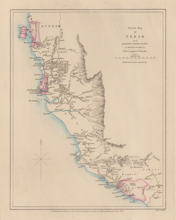
 Royal Geographical Society (RGS), Sketch Map of Perak, 1876£ 325.00
 -
 Royal Geographical Society (RGS), Map of the Northern Part of Perak (Malay Peninsula), 1882£ 365.00
 -
 British Admiralty, Strait of Malacca. From Diamond Pt. to the North Sands, 1882£ 795.00
 -
 Royal Geographical Society (RGS), Map of the Malay Peninsula, 1882£ 825.00
 -
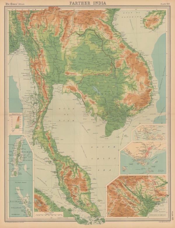
 G. & J. Bartholomew, Farther Inida, 1890 c.£ 44.00
 -
 G. & J. Bartholomew, Orographical Farther India, 1890 c.£ 44.00
 -
 G. & J. Bartholomew, Orographical Map of Farther India, 1890 c.£ 125.00
 -
 Royal Geographical Society (RGS), Map of the Johore Territory, 1894£ 725.00
 -
 Royal Geographical Society (RGS), Sketch Map of the Malay States, Kelantan & Trengganu, 1896£ 245.00
 -
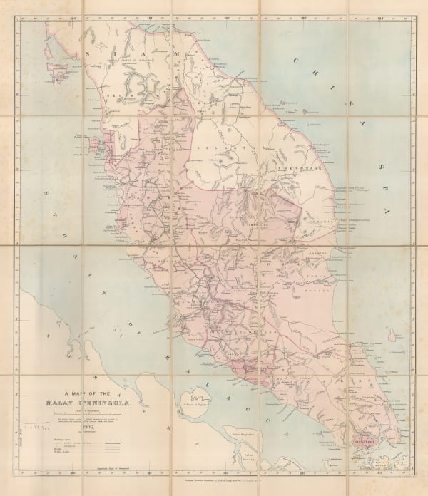
 Edward Stanford, A Map of the Malay Peninsula, 1906£ 1,250.00
 -
 The Financial Times, The Financial Times Map showing the position of the Rubber Estates in British Malaya, 1910 (c.)£ 950.00
 -
 George Philip & Son Ltd., The Malay Peninsula, 1910 c.£ 195.00
 -
 Fed. Malay States, A Map of the British Territories and British Protectorates in the Malay Peninsula, 1911£ 775.00
 -
 Edward Stanford, Indo-China, 1911£ 295.00
 -

-
 John Bartholomew, Burma, Malaya and Indo-China, 1922£ 295.00
 -
 British Admiralty, Malacca Straits, 1923£ 1,150.00
 -
 F. M. S. Railways, Ipoh Town, 1928Sold
 -
 F. M. S. Railways, Kuala Lumpur Town, 1928Sold
 -
 Fed. Malay States, Malaya, 1929£ 675.00
 -
 Edward Stanford, P&O Ports of Call - Penang, 1930 (c.)£ 75.00
 -
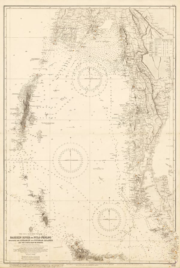
 British Admiralty, Bassein River to Pulo Penang, 1932£ 1,550.00
 -
 Fed. Malay States, Geological map of Malaya, 1937£ 695.00
 -
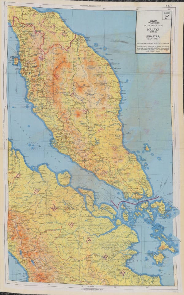
 War Office, Siam, Malaya, Sumatra, 1944£ 750.00
 -
 US Government, News Map Southwest Pacific Vol. 3. No. 12., 1945£ 575.00
 -
 Allied Land Forces South East Asia (ALFSEA), Malacca Town West, 1945£ 295.00
 -
 Army Bureau of Current Affairs (ABCA), The Road to Singapore, 1945£ 500.00
 -
 Directorate of Colonial Surveys, Federation of Malaya, and Singapore, 1948£ 175.00
 -

-
 Survey Dept. F.M.S., Kuala Lumpur, 1950Sold
 -

-
 Peter Kents, Penang, 1951£ 325.00
 -
 LPE, Ltd., Kuala Lumpur, 1956£ 145.00
 -
 LPE, Ltd., Road Map of West Malaysia, 1956£ 1,150.00
 -
 Her Majesty's Stationery Office (HMSO), British and Japanese Naval movements 4th to 10th December 1941, 1957£ 115.00
 -
 Her Majesty's Stationery Office (HMSO), Kedah, 1957£ 62.00
 -
 Her Majesty's Stationery Office (HMSO), Perak, 1957£ 95.00
 -
 Her Majesty's Stationery Office (HMSO), Selangor, 1957£ 145.00
 -
 Geographical Section, General Staff (GSGS), Singapore, 1957£ 595.00
 -
 Her Majesty's Stationery Office (HMSO), WW2 Map of Malaysia, 1957£ 195.00
 -
 Her Majesty's Stationery Office (HMSO), Malaya, 1957£ 115.00
 -
 Malaysian Government Department of Tourism, Kuala Lumpur, 1965£ 825.00
 -
 Directorate of National Mapping Malaysia, Kuala Lumpur, 1966Sold
 -
 Malaysian Government Department of Tourism, Petailing Jaya, 1966Sold
 -
 Kuala Lumpur Tourist, Kuala Lumpur Tourist Map, 1973£ 80.00
Close
Search Inventory
Our entire inventory of over 10,000 antique and vintage maps is now available to browse by region, date, cartographer, and subject


![Claudius Ptolemy & Laurent Fries, [Malay Peninula], 1541](https://artlogic-res.cloudinary.com/w_600,c_limit,f_auto,fl_lossy,q_auto/artlogicstorage/themaphouse/images/view/baf3d57210e9d83afa930de8186ab471j/themaphouse-claudius-ptolemy-laurent-fries-malay-peninula-1541.jpg)


