-
 Laurent Fries, Early Map of Southeast Asia, 1541£ 4,250.00
 -
![Claudius Ptolemy & Laurent Fries, [Malay Peninula], 1541](data:image/gif;base64,R0lGODlhAQABAIAAAAAAAP///yH5BAEAAAAALAAAAAABAAEAAAIBRAA7) Claudius Ptolemy & Laurent Fries, [Malay Peninula], 1541£ 2,450.00
Claudius Ptolemy & Laurent Fries, [Malay Peninula], 1541£ 2,450.00 -
 Petrus Bertius, Description de Malacca, 1618£ 450.00
 -
 Pierre Duval, Presquisle de L'Inde de la le Gange, 1680 c.£ 375.00
 -

-

-
 Robert Morden, Of the Peninsula Beyond Ganges, 1688£ 325.00
 -
 Vincenzo Coronelli, Siam o Iudia, 1695£ 3,450.00
 -
 Nicolas & Guillaume Sanson, Partie de l'Inde au dela du Gange, 1700£ 595.00
 -
 Le Royaume de Siam avec les Royaumes qui luy son tributaires, 1708 c.Pierre MortierSeries: AmsterdamPierre Mortier, Le Royaume de Siam avec les Royaumes qui luy son tributaires, 1708 c.£ 3,500.00
 -
 Joachim Ottens, Le Royaume de Siam avec les Royaumes qui luy sont Tributaires, 1710 c.£ 1,450.00
 -
 Henri Chatelain, Le Royaume de Siam avec les Royaumes qui luy sont Tributaires et les Isles de Sumatra, Andemaon, etc., 1719£ 850.00
 -
 Nicolas de Fer, Les Indes Orientales, Sous les Noms d'équeles est compris L'Empire Du Grand Mogol, les Deux Presqu'iles Deca et de la Le Gange, Les Maldivs, et L'Isle de Ceylan, 1721£ 1,950.00
 -
 Herman Moll, India beyond Ganges, 1725£ 795.00
 -
 François Valentyn, De Groote Siamse Rievier Me-Nam ofte Moeder der Wateren, 1727£ 4,500.00
 -
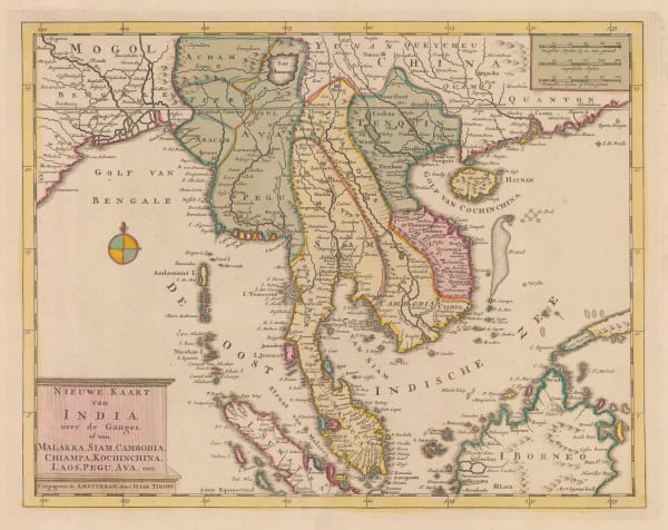
 Isaac Tirion, Nieuwe Kaart van India over de Ganges, 1730 c£ 1,150.00
 -
 Covens (Jean) & Mortier (Cornelius), Inde de la le Gange, 1730 c.£ 875.00
 -
 Robert de Vaugondy, Les Indes Orientales, 1751£ 425.00
 -
 Jacques-Nicolas Bellin, Plan de la Ville de Siam, 1751£ 495.00
 -
![Johannes [II] van Keulen, Afteekening van een gedeelte van de kust van Arracam, Pegu en Siam van de rivier Arracam, tot aan de Noordhoek van 't Eyland Sumatra., 1753](data:image/gif;base64,R0lGODlhAQABAIAAAAAAAP///yH5BAEAAAAALAAAAAABAAEAAAIBRAA7)
-
 Jacques-Nicolas Bellin, Plan de la Ville de Louvo, 1755 c.£ 525.00
 -
 Jacques-Nicolas Bellin, Carte du Cours du Menan, 1764£ 325.00
 -
 Guillaume-Nicolas Delahaye, Carte Plate du Golfe de Siam, 1770 c.£ 1,250.00
 -
 Antonio Zatta, Regni D'Aracan del Pegu di Siam di Camboge e di Laos, 1785£ 1,150.00
 -
![Henry Gregory, [Gulf of Siam], 1787](data:image/gif;base64,R0lGODlhAQABAIAAAAAAAP///yH5BAEAAAAALAAAAAABAAEAAAIBRAA7) Henry Gregory, [Gulf of Siam], 1787£ 895.00
Henry Gregory, [Gulf of Siam], 1787£ 895.00 -
 Laurie & Whittle, Plan of Junkseylon Island and A Plan of the Isles of Merguy, 1794£ 795.00
 -
 Laurie & Whittle, The Coast of India fromPulo Timon to Pulo Cambir, 1794£ 1,350.00
 -
 Giovanni Maria Cassini, La Peninsola delle Indie di la' dal Gange, 1797£ 1,850.00
 -
 Michael Symes, A Sketch of the Birman Empire, 1800£ 245.00
 -
 John Walker, A Map of the Kingdoms of Siam and Cochin China, 1828£ 1,150.00
 -
 John Crawfurd, Sketch of the Town of Bang-kok, 1828£ 445.00
 -
 John Arrowsmith, Burmah, Siam and Cochin China, 1832£ 1,450.00
 -
 Royal Geographical Society (RGS), Sketch of Siam & The Adjacent States, 1856£ 245.00
 -
 Royal Geographical Society (RGS), Sketch Map from Bangkok in Siam to Pelombing in Siam, 1859£ 85.00
 -
 James Imray, East Indian Archipelago. (Western Route to China. Chart No.3), 1863£ 1,875.00
 -
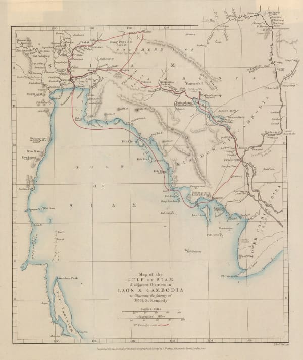
 Royal Geographical Society (RGS), Map of the Gulf of Siam, 1867£ 260.00
 -
 Royal Geographical Society (RGS), Map Showing the Proposed Trade Routes from India & British Burmah to China, 1875£ 325.00
 -
 Royal Geographical Society (RGS), Parts of Burmah, Siam and the Shan States, 1886£ 595.00
 -
 W. & A.K. Johnston, Siam, 1886£ 68.00
 -
 Royal Geographical Society (RGS), Map of the Kingdom of Siam and its Dependencies, 1888£ 825.00
 -
![Arbuckle Brothers Company, [Siam], 1889](data:image/gif;base64,R0lGODlhAQABAIAAAAAAAP///yH5BAEAAAAALAAAAAABAAEAAAIBRAA7) Arbuckle Brothers Company, [Siam], 1889£ 155.00
Arbuckle Brothers Company, [Siam], 1889£ 155.00 -
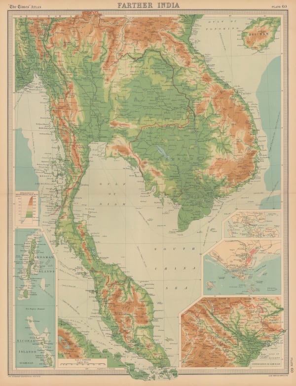
 G. & J. Bartholomew, Farther Inida, 1890 c.£ 44.00
 -
 G. & J. Bartholomew, Orographical Farther India, 1890 c.£ 44.00
 -
 G. & J. Bartholomew, Orographical Map of Farther India, 1890 c.£ 125.00
 -
 Royal Geographical Society (RGS), The Central Part of the Kingdom of Siam, 1894£ 325.00
 -
 Royal Geographical Society (RGS), Map of Central Siam, 1896£ 225.00
 -
 Royal Geographical Society (RGS), Central & Northern States of The Malay Peninsula, Siam, 1898£ 180.00
 -
 John Bartholomew & Co., Indo-China, 1900 c£ 125.00
 -
 Edward Stanford, Indo-China, 1911£ 295.00
 -
 John Bartholomew, Burma, Malaya and Indo-China, 1922£ 295.00
 -
 Alexander Gross, French Indo-china, Siam & Malay States, 1930 c.£ 625.00
 -
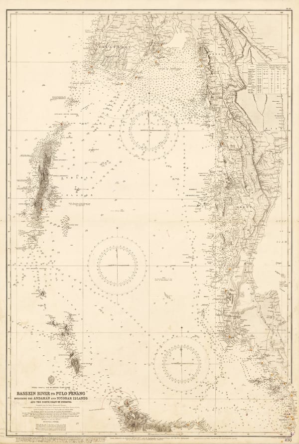
 British Admiralty, Bassein River to Pulo Penang, 1932£ 1,550.00
 -
 British Admiralty, Gulf of Siam, 1932£ 2,850.00
 -
 Siam Railways, Plan of Bangkok, 1932£ 895.00
 -
 War Office, Rangoon to Bangkok, 1945£ 245.00
 -
 Army Bureau of Current Affairs (ABCA), The Road to Singapore, 1945£ 500.00
 -
 Bureau of Tourist Promotion (Thailand), Charming Thailand, 1955 (c.)£ 2,500.00
 -
 British Admiralty, Ko Kut to Ko Chuang, 1957£ 345.00
 -
 British Admiralty, Mae Nam Chao Phraya, 1986£ 475.00
Close
Search Inventory
Our entire inventory of over 10,000 antique and vintage maps is now available to browse by region, date, cartographer, and subject


![Claudius Ptolemy & Laurent Fries, [Malay Peninula], 1541](https://artlogic-res.cloudinary.com/w_600,c_limit,f_auto,fl_lossy,q_auto/artlogicstorage/themaphouse/images/view/baf3d57210e9d83afa930de8186ab471j/themaphouse-claudius-ptolemy-laurent-fries-malay-peninula-1541.jpg)


![Johannes [II] van Keulen, Afteekening van een gedeelte van de kust van Arracam, Pegu en Siam van de rivier Arracam, tot aan de Noordhoek van 't Eyland Sumatra., 1753](https://artlogic-res.cloudinary.com/w_600,c_limit,f_auto,fl_lossy,q_auto/artlogicstorage/themaphouse/images/view/9ab9fb3cd2bb1539bd4a22186f075456j/themaphouse-johannes-ii-van-keulen-afteekening-van-een-gedeelte-van-de-kust-van-arracam-pegu-en-siam-van-de-rivier-arracam-tot-aan-de-noordhoek-van-t-eyland-sumatra.-1753.jpg)


![Henry Gregory, [Gulf of Siam], 1787](https://artlogic-res.cloudinary.com/w_600,c_limit,f_auto,fl_lossy,q_auto/artlogicstorage/themaphouse/images/view/8c3501f7eed2b4c239face3ab2bd2129j/themaphouse-henry-gregory-gulf-of-siam-1787.jpg)


![Arbuckle Brothers Company, [Siam], 1889](https://artlogic-res.cloudinary.com/w_600,c_limit,f_auto,fl_lossy,q_auto/artlogicstorage/themaphouse/images/view/b723ddfb9eac13269064e0ed78fe4ce6j/themaphouse-arbuckle-brothers-company-siam-1889.jpg)


