-
 Samuel Augustus Mitchell, West Indies, 1849£ 325.00
 -
 Justus Perthes, West Indies and Central America, 1850£ 145.00
 -
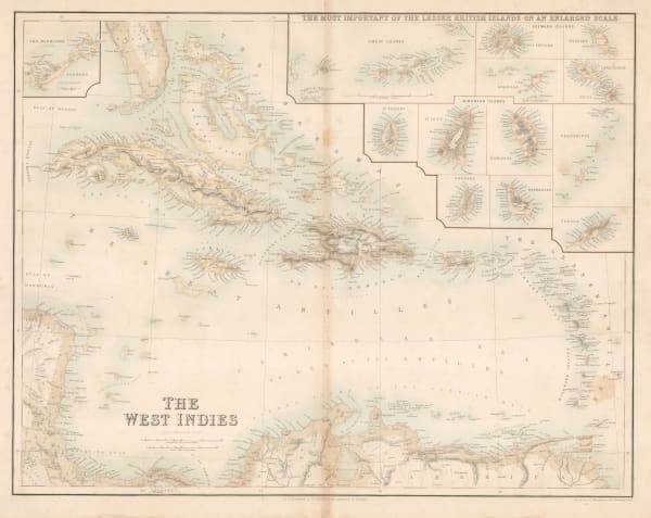
 John Rapkin, The West Indies, 1850 c.£ 88.00
 -
 Carl Christian Franz Radefeld, Central America and West Indies, 1850 c.£ 150.00
 -
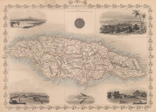
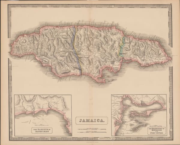
 John Tallis, Jamaica, 1851£ 345.00
 -
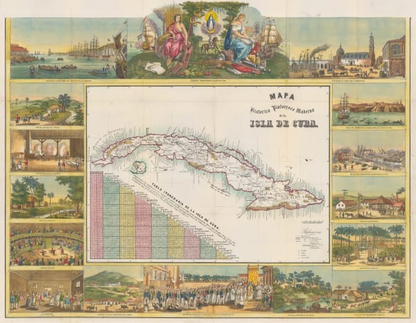
 Frédéric (Federico) Mialhe, Picturesque map of Cuba, 1851£ 3,500.00
 -
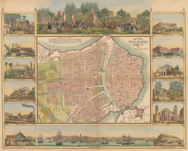
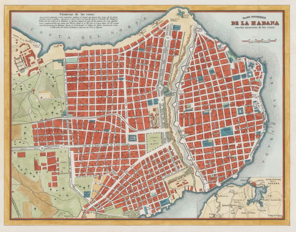
 Frédéric (Federico) Mialhe, Picturesque plan of Havana, Cuba, 1851£ 4,500.00
 -
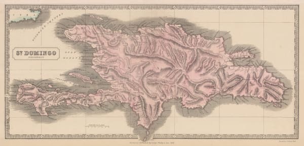
 George Philip, Haiti & the Dominican Republic, 1851£ 295.00
 -
 John Tallis, The Caribbean, or West Indies, 1851£ 395.00
 -
 Frédéric (Federico) Mialhe, Plan of Havana, Cuba, 1853£ 825.00
 -
 George Philip & Son Ltd., Jamaica, 1856£ 250.00
 -
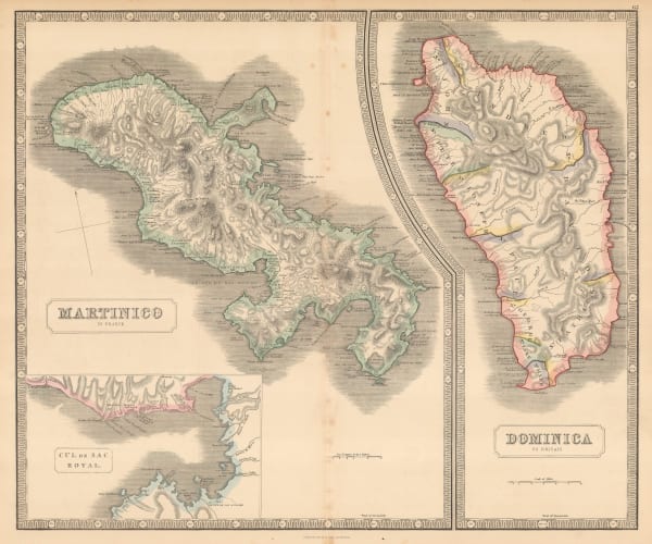
 George Philip, Martinique & Dominica, 1856£ 140.00
 -
 Samuel Augustus Mitchell, Map of Mexico, Central America and the West Indies, 1860£ 275.00
 -
 Archibald Fullarton, Trinidad and Guyana, 1860 c.£ 295.00
 -
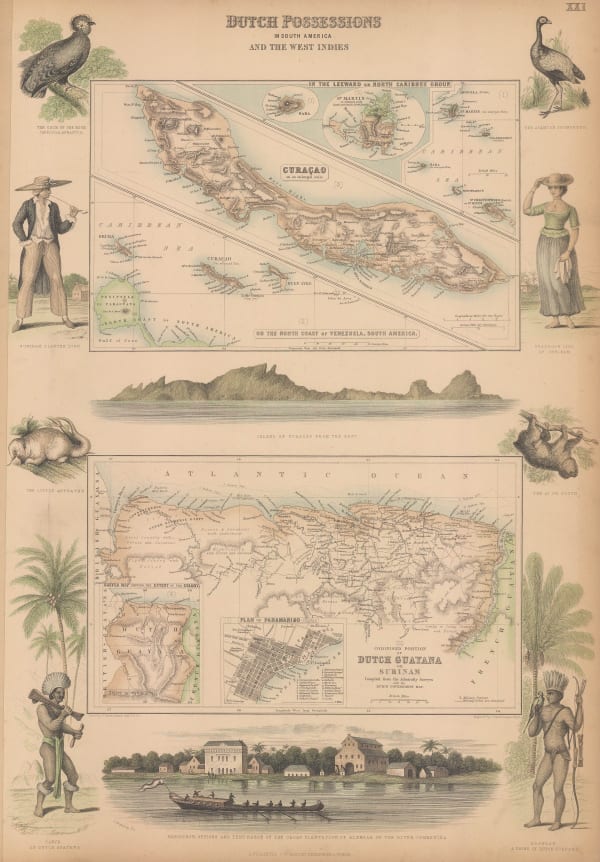
 Suriname and the Dutch Caribbean islands, 1860 c.Archibald FullartonSeries: London, Edinburgh & DublinArchibald Fullarton, Suriname and the Dutch Caribbean islands, 1860 c.£ 325.00
 -
 John Dower, West Indies, 1860 c.£ 98.00
 -
 James Imray, Gulf of Mexico, 1868£ 3,500.00
 -
 Archibald Fullarton, The West Indies, 1870 c.£ 250.00
 -
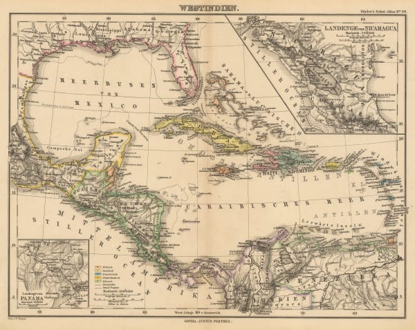
 Justus Perthes, The West Indies and Central America, 1870 c.£ 85.00
 -
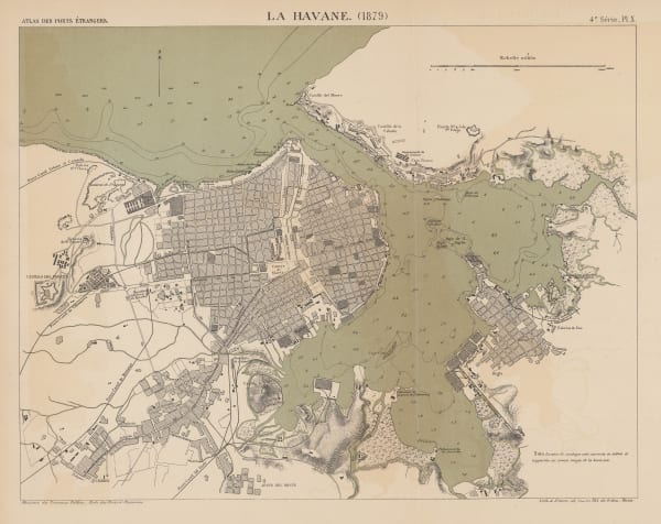
 A. Simon, Havana, Cuba, 1879£ 445.00
 -
 W. & A.K. Johnston, Haiti & the Dominican Republic, 1880 c£ 45.00
 -
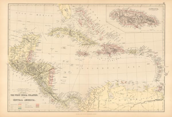
 Walter Blackie, West Indies and Central America, 1880 c.£ 125.00
 -
 Letts & Son, The West Indies, 1881£ 125.00
 -
 Samuel Augustus Mitchell, Map of Mexico, Central America and the West Indies, 1884£ 145.00
 -
 J.G. Bartholomew, West Indies, 1887£ 44.00
 -
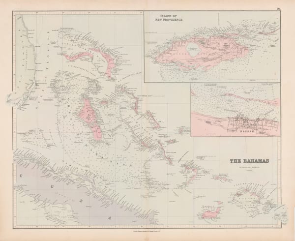
 Edward Stanford, The Bahamas, 1887£ 750.00
 -
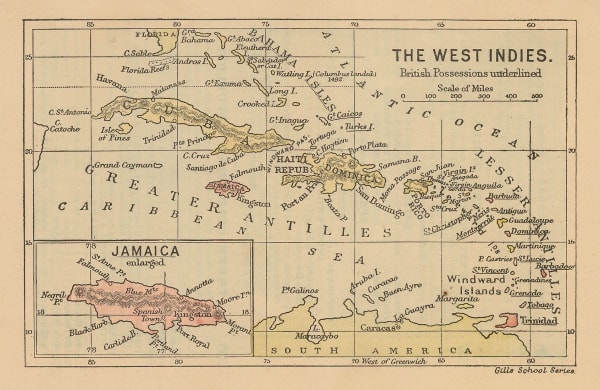
 Gill's School Series, The West Indies and Jamaica, 1890 c.£ 30.00
 -
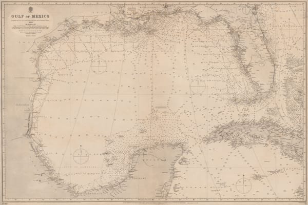
 British Admiralty, Gulf of Mexico, 1891£ 1,550.00
 -
 Justus Perthes, The West Indies and Gulf of Mexico, 1895£ 38.00
 -
 Edward Stanford, West Indies and Central America, 1896£ 95.00
 -
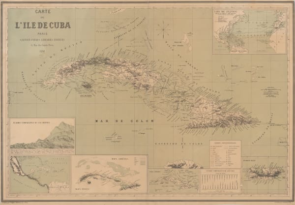
 Garnier Frères, Cuba, 1898£ 950.00
 -
 Edward Stanford, West Indies, 1898£ 75.00
 -
 J. Domingo Sulsona, Puerto Rico, 1899£ 985.00
 -
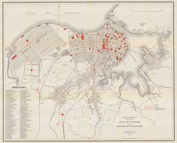
 Rand, McNally & Co., City of Havana, 1901£ 395.00
 -
 US Navy, Nassau Harbour, 1904£ 2,750.00
 -
 Anguilla to Puerto Rico shewing the Approaches to the Virgin Islands, 1905British AdmiraltySeries: LondonBritish Admiralty, Anguilla to Puerto Rico shewing the Approaches to the Virgin Islands, 1905£ 3,000.00
 -
 Royal Geographical Society (RGS), Sketch Map of Jamaica, 1908£ 275.00
 -
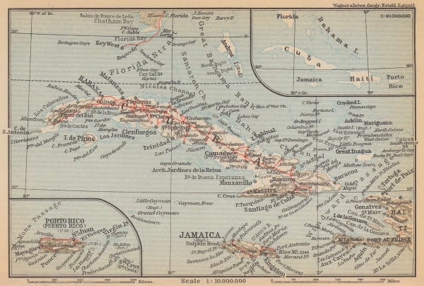
 Karl Baedeker, Cuba, Jamaica & Puerto Rico, 1909£ 45.00
 -
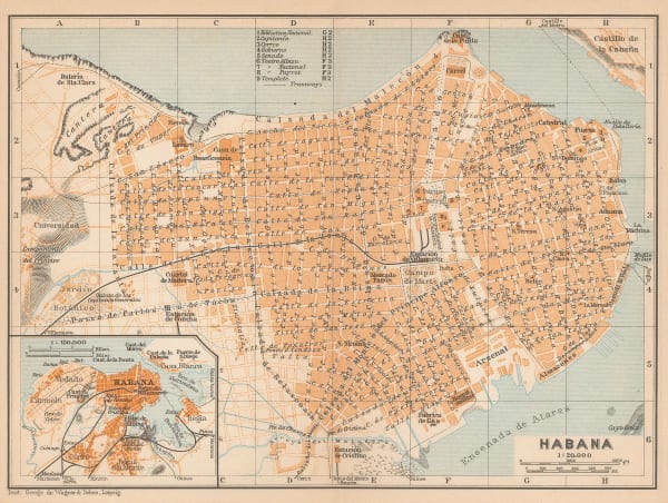
 Karl Baedeker, Havana, 1909£ 68.00
 -
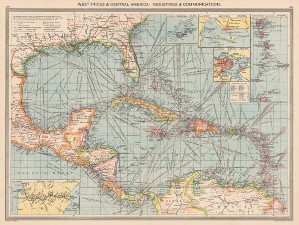
 West Indies & Central America: Industries & Communications, 1910 c.George Philip & Son Ltd.Series: LondonGeorge Philip & Son Ltd., West Indies & Central America: Industries & Communications, 1910 c.£ 165.00
 -
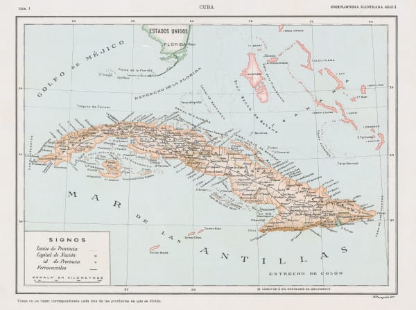
 Enciclopedia Segui, Cuba, 1910 c.£ 65.00
 -
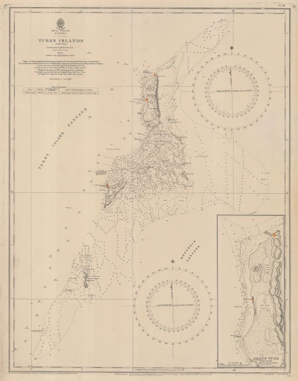
 British Admiralty, Turks Islands, 1917£ 945.00
 -
 Edward Stanford, Grenada, St. Vincent and Tobago, 1925 c.£ 32.00
 -
 British Admiralty, Chart of the Windward Islands from Guadeloupe to Trinidad, 1941£ 445.00
 -
 British Admiralty, North America East Coast - Delaware Bay to Florida Strait, 1942£ 950.00
 -
 Geographical Section, General Staff (GSGS), Trinidad, 1943£ 285.00
 -
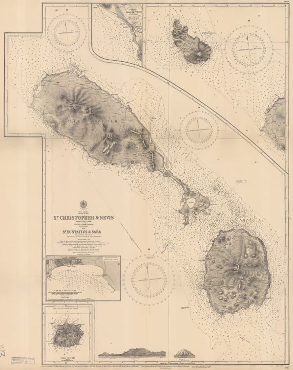
 British Admiralty, St. Kitts & Nevis; St. Eustatius & Saba, 1949£ 750.00
 -
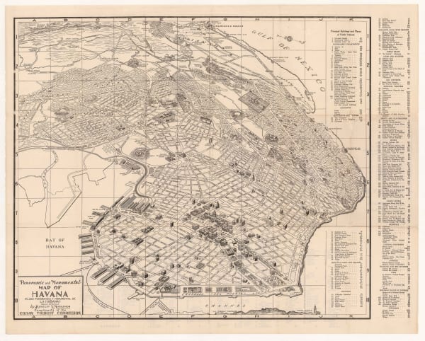
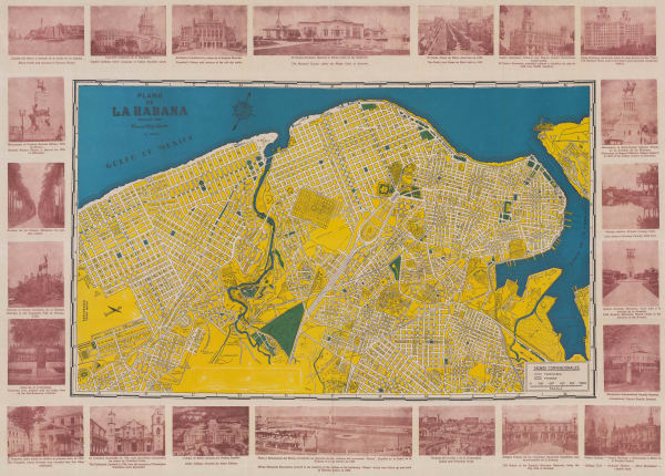
 Rogelio L. Mirabal, Panoramic and Monumental Map of Havana, 1950£ 325.00
 -
 Francisco Rojo Garcia, Bilingual map of Havana, 1950 (c.)£ 750.00
 -
 Bahama and Abaco Islands with the north west Providence Channel, 1953British AdmiraltySeries: LondonBritish Admiralty, Bahama and Abaco Islands with the north west Providence Channel, 1953£ 850.00
 -
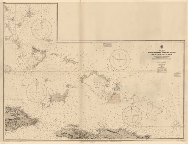
 British Admiralty, South Eastern Portion of the Bahama Islands, 1953£ 850.00
 -
 British Admiralty, Five Fathom Hole, the Narrows and Murrays Anchorage, 1958£ 795.00
 -
 North and South Channels, Approaches to Grassy Bay and Ireland Island, 1958British AdmiraltySeries: LondonBritish Admiralty, North and South Channels, Approaches to Grassy Bay and Ireland Island, 1958£ 795.00
 -
 British Admiralty, Turks and Caicos and the South Eastern Bahamas, 1958£ 675.00
 -
 British Admiralty, Cayman Islands, 1966£ 1,400.00
▪ Caribbean
Our entire inventory of over 10,000 antique and vintage maps is now available to browse by region, date, cartographer, and subject
Page
4
of 4


