-
 Victor Levasseur, Morbihan - Brittany, 1845£ 60.00
 -
William Hutcheon Hall, East coast of China from Canton to Nanking , 1845£ 345.00
-
-
Victor Levasseur, Charente, 1845£ 75.00
-
Victor Levasseur, Corrèze, 1845£ 60.00
-
Victor Levasseur, Creuse, 1845£ 60.00
-
Victor Levasseur, Manche, 1845£ 80.00
-
Victor Levasseur, Finistère, 1845£ 80.00
-
Victor Levasseur, Haut-Rhin, 1845£ 80.00
-
Victor Levasseur, Rhône, 1845£ 80.00
-
Victor Levasseur, Vendée, 1845£ 75.00
-
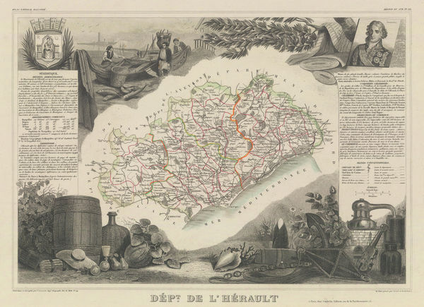
Victor Levasseur, Hérault, 1845£ 85.00
-
Victor Levasseur, Dordogne, 1845£ 120.00
-
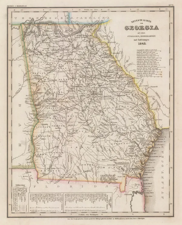
Joseph Meyer, Georgia, 1845£ 325.00
-
William Hutcheon Hall, Hong Kong, Macao, Guangzhou & the Pearl River Mouth, 1845£ 950.00
-
Joseph Meyer, Tennessee, 1845£ 285.00
-
Thomas Turner, Victorian Board Game map of England & Wales, 1845 (c.)£ 1,850.00
-
Luigi Brocktorff, Valletta, Malta, 1845 (c.)£ 1,250.00
-
J. & C. Walker, Warwickshire, 1845 c£ 95.00
-
Carl Flemming, Republic of Texas, 1845 c£ 1,850.00
-
-
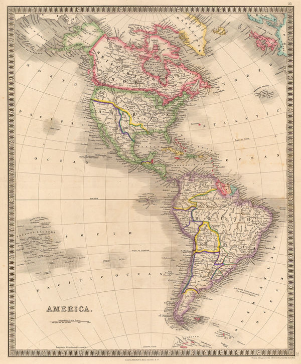
Henry Teesdale, America, 1845 c.£ 445.00
-
Samuel Augustus Mitchell, City of New-York, 1845 c.£ 695.00
-
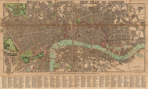
Edward Mogg, Mogg's New Plan of London, 1845 c.£ 1,650.00
-
Perspective Projection of the Southern Hemisphere on the Plane of the Horizon of London, 1845 c.Joseph Wilson LowrySeries: LondonJoseph Wilson Lowry, Perspective Projection of the Southern Hemisphere on the Plane of the Horizon of London, 1845 c.£ 745.00
-
Joseph Meyer, Philadelphia, 1845 c.£ 345.00
-
J. & C. Walker, Rutlandshire, 1845 c.£ 20.00
-
Samuel Lewis, Suffolk, 1845 c.£ 68.00
-
Edward Wallis, European Travellers - An Instructive Game, 1845 c.£ 4,950.00
-
James Wyld, A Map of England, Wales & Scotland, 1845 c.£ 595.00
-
-
Samuel Augustus Mitchell, A New Map of Alabama, 1846£ 395.00
-
Samuel Augustus Mitchell, A New Map of Arkansas, 1846£ 180.00
-
Samuel Augustus Mitchell, A New Map of Georgia with its Roads & Distances, 1846£ 485.00
-
Samuel Augustus Mitchell, A New Map of Indiana, 1846£ 275.00
-
Samuel Augustus Mitchell, A New Map of Kentucky, 1846£ 375.00
-
Samuel Augustus Mitchell, A New Map of Maine, 1846£ 445.00
-
Samuel Augustus Mitchell, A New Map of Maryland and Delaware, 1846£ 395.00
-
Samuel Augustus Mitchell, A New Map of Michigan, 1846£ 485.00
-
Samuel Augustus Mitchell, A New Map of Mississippi, 1846£ 145.00
-
Samuel Augustus Mitchell, A New Map of Ohio, 1846£ 225.00
-
A New Map of Pennsylvania with its Canals, Rail-Roads & c., 1846Samuel Augustus MitchellSeries: PhiladelphiaSamuel Augustus Mitchell, A New Map of Pennsylvania with its Canals, Rail-Roads & c., 1846£ 275.00
-
-
Joseph Meyer, Asia, 1846£ 195.00
-
Samuel Augustus Mitchell, Southern Ontario and the Great Lakes, 1846£ 325.00
-
Joseph Meyer, Connecticut, 1846£ 285.00
-
Laurie's New Plan of London and its Environs, with an improved Scale for Ascertaining Distances, the Fares of Hackney Coaches, Porterage of Parcels, &c., 1846Richard Holmes LaurieSeries: LondonRichard Holmes Laurie, Laurie's New Plan of London and its Environs, with an improved Scale for Ascertaining Distances, the Fares of Hackney Coaches, Porterage of Parcels, &c., 1846£ 3,450.00
-
James Wyld, Map of Asia, 1846£ 785.00
-
Joseph Meyer, New Hampshire and Vermont, 1846£ 285.00
-
Joseph Meyer, South Africa, 1846£ 225.00
-
Joseph Meyer, Australia and the Islands of the Pacific Ocean, 1846£ 165.00
-
Samuel Augustus Mitchell, Australia, New Zealand and the Pacific Ocean, 1846£ 225.00
-
Samuel Augustus Mitchell, Peru and Bolivia, 1846£ 165.00
-
Samuel Augustus Mitchell, Philadelphia, 1846£ 295.00
-
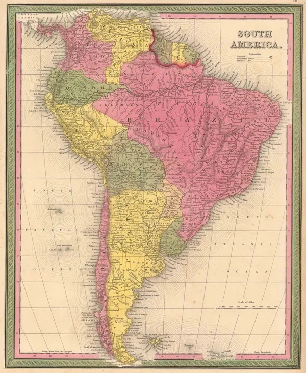
Samuel Augustus Mitchell, South America, 1846£ 225.00
-
Samuel Augustus Mitchell, Spain and Portugal, 1846£ 88.00
-
Samuel Augustus Mitchell, Switzerland, 1846£ 68.00
-
Joseph Meyer, Texas, 1846£ 2,650.00
-
Samuel Augustus Mitchell, United States, 1846£ 225.00
-
Samuel Augustus Mitchell, Colombia, Ecuador and Venezuela, 1846£ 295.00
-
Humphrey Phelps, Pictorial View of the World, 1846£ 1,950.00
-
George Baxter, Muggletonian Celestial Diagrams, 1846£ 3,450.00
-
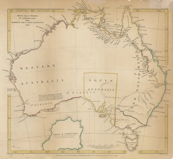
Sketch map to illustrate Dr. Leichardt's route from Moreton Bay to Port Essington, 1846Royal Geographical Society (RGS)Series: LondonRoyal Geographical Society (RGS), Sketch map to illustrate Dr. Leichardt's route from Moreton Bay to Port Essington, 1846£ 225.00
-
-
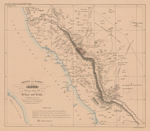
Map to Illustrate Mr. Layard's Paper on Khuzistan, 1846Royal Geographical Society (RGS)Series: LondonRoyal Geographical Society (RGS), Map to Illustrate Mr. Layard's Paper on Khuzistan, 1846£ 98.00
-
Carl Ritter, Jeddah & Environs, 1846£ 895.00
-
Joseph Meyer, Massachusetts and Rhode Island, 1846£ 195.00
-
Samuel Augustus Mitchell, North America, 1846 c£ 175.00
-
Samuel Augustus Mitchell, Connecticut, 1846 c.£ 375.00
-
James Reynolds, Waterfalls, 1846 c.£ 545.00
-
Thomas Ham, Victoria, 1847£ 3,850.00
-
Samuel Augustus Mitchell, A New Map of Louisiana, 1847£ 395.00
-
Victor Levasseur, Decorative map of Africa, 1847£ 395.00
-
Victor Levasseur, Decorative map of South America, 1847£ 385.00
-
Victor Levasseur, Decorative map of North and Central America, 1847£ 495.00
-
Victor Levasseur, Martinique, 1847£ 175.00
-
E. & G.W. Blunt, Delaware Bay, 1847£ 66.00
-
Victor Levasseur, Indre-et-Loire, 1847£ 75.00
-
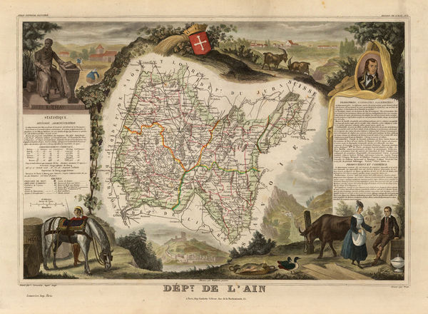
Victor Levasseur, Ain, 1847£ 70.00
-
Victor Levasseur, Aisne, 1847£ 70.00


Page
70
of 130