-
 Samuel Augustus Mitchell, County and Township Map of Utah and Nevada, 1881£ 120.00
 -
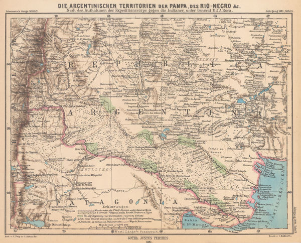
Justus Perthes, The Conquest of the Desert Campaigns, 1881£ 85.00
-
J.A. & R.A. Reid, Index Map of the City of Providence, R.I., 1881£ 745.00
-
Map of Hudson Bay and part of the Dominion of Canada, 1881Royal Geographical Society (RGS)Series: LondonRoyal Geographical Society (RGS), Map of Hudson Bay and part of the Dominion of Canada, 1881£ 145.00
-
Map of Sikkim and parts of the Adjacent Territories, 1881Royal Geographical Society (RGS)Series: LondonRoyal Geographical Society (RGS), Map of Sikkim and parts of the Adjacent Territories, 1881£ 125.00
-
A. Simon, Montreal, 1881£ 325.00
-
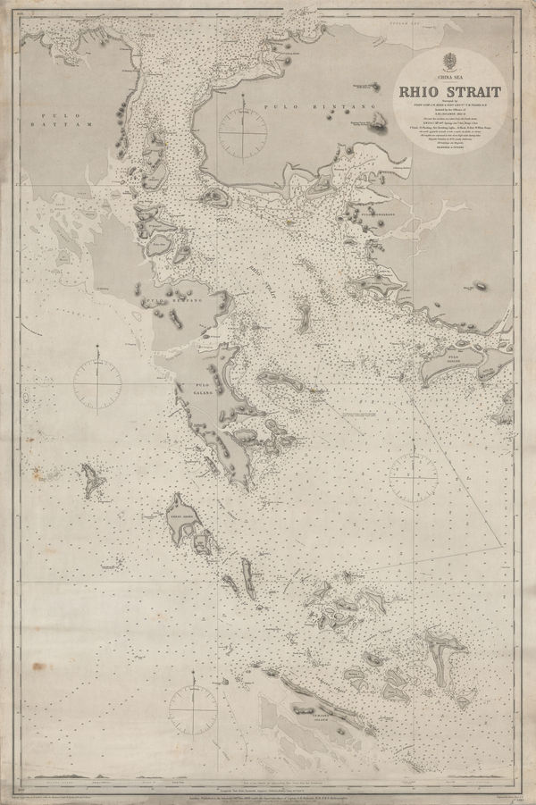
British Admiralty, Riau Islands, Indonesia, 1881£ 595.00
-
A. Simon, Riga, 1881£ 495.00
-
Letts & Son, The West Indies, 1881£ 125.00
-
-
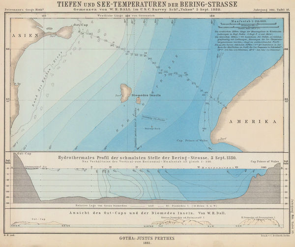
Justus Perthes, Bering Strait, 1881£ 115.00
-
O.W. Gray & Son, New Map of the United States, 1881£ 385.00
-
O.W. Gray & Son, Minnesota, 1881£ 545.00
-
O.W. Gray & Son, Philadelphia, 1881£ 650.00
-
O.W. Gray & Son, North and South Carolina, 1881£ 495.00
-
O.W. Gray & Son, Maryland, Delaware and the District of Columbia, 1881£ 585.00
-
O.W. Gray & Son, Michigan, 1881£ 575.00
-
O.W. Gray & Son, Louisiana, 1881£ 395.00
-
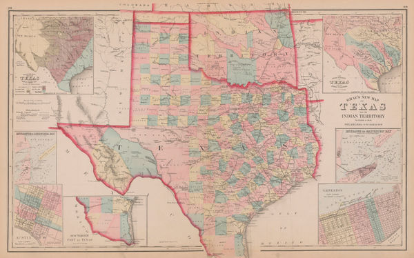
O.W. Gray & Son, Texas and Indian Territory (Oklahoma), 1881£ 1,150.00
-
Rand McNally, California, 1881£ 545.00
-
Royal Geographical Society (RGS), Map of North Borneo, 1881£ 425.00
-
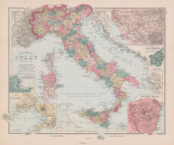
O.W. Gray & Son, Italy, 1881£ 145.00
-
O.W. Gray & Son, San Francisco, 1881£ 495.00
-
O.W. Gray & Son, New Hampshire, 1881£ 195.00
-
Erwin Knipping's Route from Kanagawa to the Oyama and Hakone Mountains, 1881Justus PerthesSeries: GothaJustus Perthes, Erwin Knipping's Route from Kanagawa to the Oyama and Hakone Mountains, 1881£ 125.00
-
Justus Perthes, Northwest Arabia, 1881£ 125.00
-
Justus Perthes, Topographical map of south western USA, 1881£ 275.00
-
Justus Perthes, Geological Map of Haida Gwaii, British Columbia, 1881£ 125.00
-
Justus Perthes, Equatorial East Africa, 1881£ 675.00
-
O.W. Gray & Son, Vermont, 1881£ 225.00
-
O.W. Gray & Son, New Mexico and Arizona, 1881£ 275.00
-
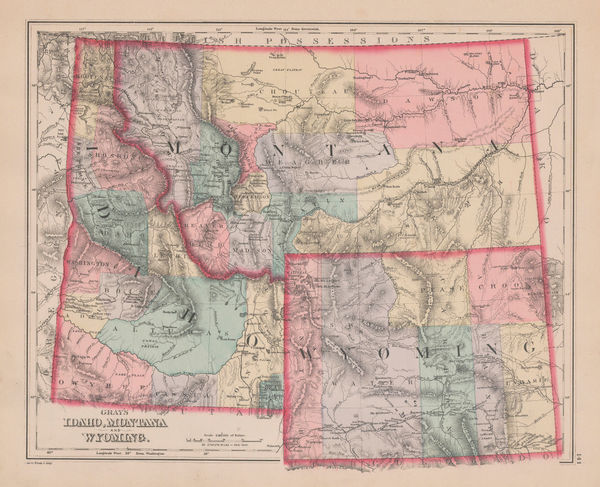
O.W. Gray & Son, Idaho, Montana and Wyoming, 1881£ 295.00
-
O.W. Gray & Son, Maine, 1881£ 245.00
-
O.W. Gray & Son, Colorado, 1881£ 395.00
-
Central Africa - Map of the Central Zambesi Region, 1881Royal Geographical Society (RGS)Series: LondonRoyal Geographical Society (RGS), Central Africa - Map of the Central Zambesi Region, 1881£ 175.00
-
Justus Perthes, The Source of the Irrawaddy River, Myanmar, 1881£ 95.00
-
Letts & Son, Ireland, 1881£ 185.00
-
Philetus W. Norris, Map of the Yellowstone National Park, 1881£ 725.00
-
Justus Perthes, Australia's Northwest Coast, 1881£ 95.00
-
Richard Holmes Laurie, Chart of the Port of Aden, 1882£ 48.00
-
County & Township Map of the States of Ohio and Indiana, 1882Samuel Augustus MitchellSeries: PhiladelphiaSamuel Augustus Mitchell, County & Township Map of the States of Ohio and Indiana, 1882£ 140.00
-
County and Township Map of the States of Iowa and Missouri, 1882Samuel Augustus MitchellSeries: PhiladelphiaSamuel Augustus Mitchell, County and Township Map of the States of Iowa and Missouri, 1882£ 140.00
-
County and Township Map of the States of Michigan and Wisconsin, 1882Samuel Augustus MitchellSeries: PhiladelphiaSamuel Augustus Mitchell, County and Township Map of the States of Michigan and Wisconsin, 1882£ 140.00
-
County and Township Map of Vermont and New Hampshire, 1882Samuel Augustus MitchellSeries: PhiladelphiaSamuel Augustus Mitchell, County and Township Map of Vermont and New Hampshire, 1882£ 165.00
-
County Map of the States of Arkansas, Mississippi and Louisiana, 1882Samuel Augustus MitchellSeries: PhiladelphiaSamuel Augustus Mitchell, County Map of the States of Arkansas, Mississippi and Louisiana, 1882£ 160.00
-
British Admiralty, Cowes Harbour, 1882£ 1,150.00
-
Letts & Son, Illinois with parts of Iowa, Missouri and Indianan, 1882£ 75.00
-
Letts & Son, Eastern United States, 1882£ 75.00
-
Ordnance Survey, Geological Survey of England and Wales, 1882£ 120.00
-
Royal Geographical Society (RGS), Map of the Mozambique Coast, 1882£ 195.00
-
Map of the Northern Part of Perak (Malay Peninsula), 1882Royal Geographical Society (RGS)Series: LondonRoyal Geographical Society (RGS), Map of the Northern Part of Perak (Malay Peninsula), 1882£ 365.00
-
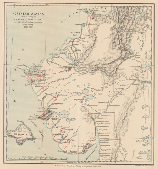
Royal Geographical Society (RGS), Northern Alaska, 1882£ 225.00
-
Letts & Son, Colombia and Venezuela, 1882£ 85.00
-
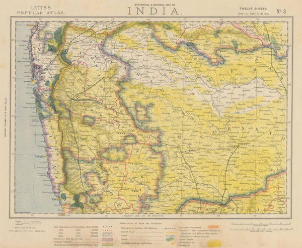
Letts & Son, Eastern India and Nepal, 1882£ 85.00
-
Letts & Son, Southern India, 1882£ 85.00
-
Letts & Son, Southwestern India, 1882£ 85.00
-
Letts & Son, Bay of Bengal coast, 1882£ 85.00
-
Letts & Son, Central India - Chota Nagpur Division, 1882£ 85.00
-
British Admiralty, Strait of Malacca. From Diamond Pt. to the North Sands, 1882£ 795.00
-
Richard Holmes Laurie, The Arabian Sea, 1882£ 58.00
-
James Imray, The Indian Ocean, 1882£ 52.00
-
James Imray, The Indian Ocean, 1882£ 52.00
-
James Imray, The Indian Ocean, 1882£ 52.00
-
James Imray, The Indian Ocean, 1882£ 52.00
-
Karl Baedeker, Turin / Torino, 1882£ 26.00
-
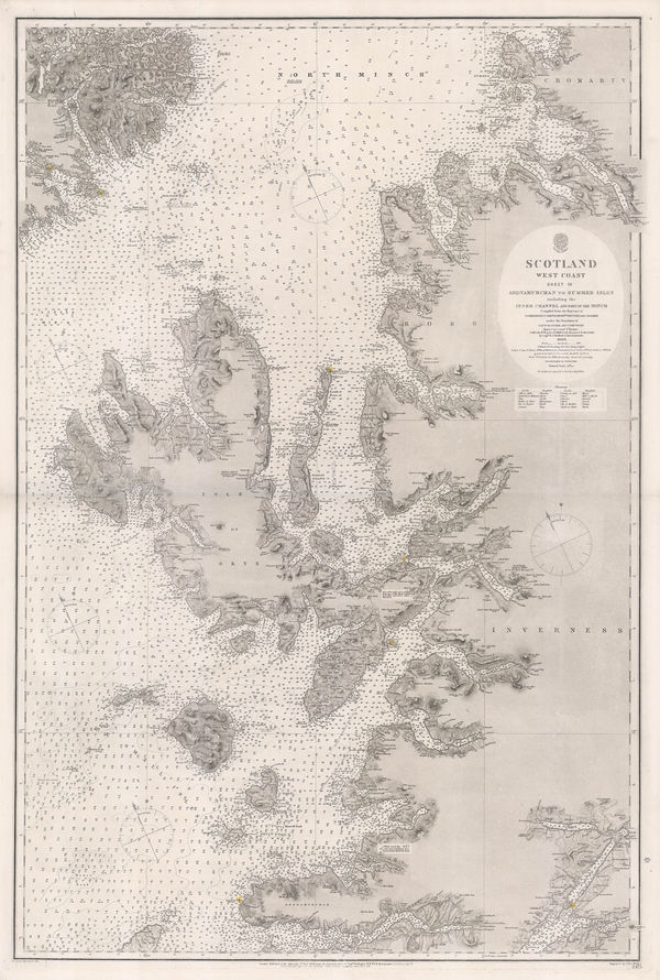
British Admiralty, Western Scotland, 1882£ 885.00
-
Henry Cuthbert Tunison, Massachusetts, Connecticut & Rhode Island, 1882£ 225.00
-
Letts & Son, The City of Rome, as it is in 1882, 1882£ 325.00
-
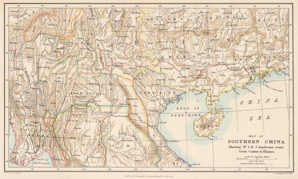
Royal Geographical Society (RGS), Map of Southern China, 1882£ 245.00
-
Royal Geographical Society (RGS), Map of Iceland, 1882£ 195.00
-
Adolphe Joanne, Haute Savoie & Mont Blanc, 1882£ 165.00
-
George Philip & Son Ltd., Japan, 1882£ 145.00
-
Edward Stanford, Leyton, Walthamstow & Hackney Marshes, 1882£ 295.00
-
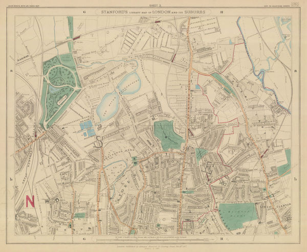
Edward Stanford, Finsbury Park, Stoke Newington & Tottenham, 1882£ 575.00
-
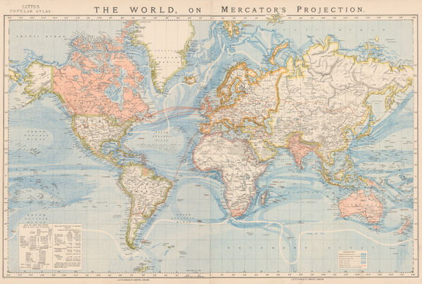
Letts & Son, The World on Mercator's Projection, 1882£ 375.00
-
Friedrich Boemches, Beirut - Plan for a new Harbour, 1882£ 125.00
-
Henry Cuthbert Tunison, Florida, 1882£ 185.00
-
Henry Cuthbert Tunison, Virginia, Maryland, Delaware & West Virginia, 1882£ 95.00
-
Henry Cuthbert Tunison, Michigan, 1882£ 95.00
-
Henry Cuthbert Tunison, Kentucky, 1882£ 85.00


Page
90
of 130