-
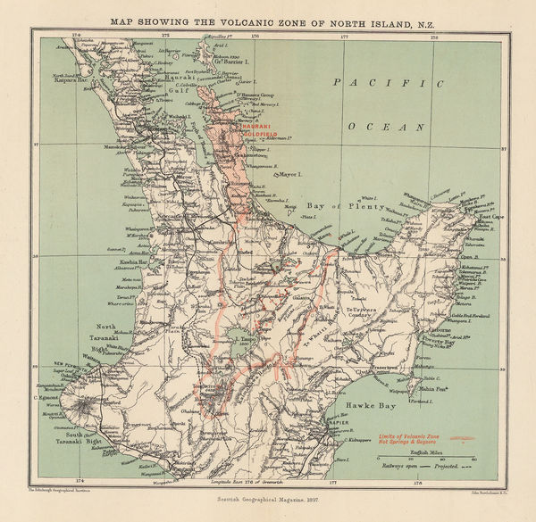
 Map Showing the Volcanic Zone of North Island, N.Z., 1897Scottish Geographical Society (SGS)Series: EdinburghScottish Geographical Society (SGS), Map Showing the Volcanic Zone of North Island, N.Z., 1897£ 94.00
 -
George Cram, Maryland and Delaware, 1897£ 295.00
-
Royal Geographical Society (RGS), Early map of the Iraqi Oil Fields, 1897£ 845.00
-
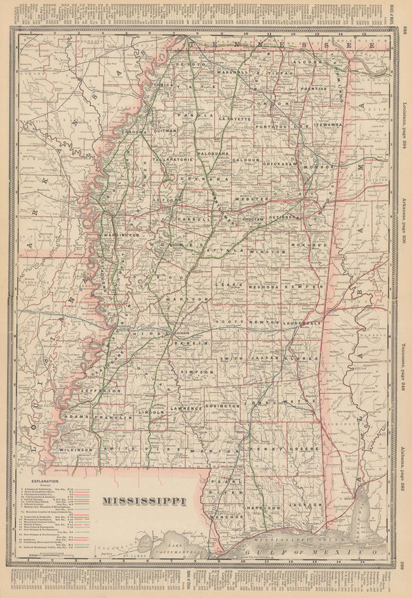
George Cram, Mississippi, 1897£ 185.00
-
George Cram, New Hampshire and Vermont, 1897£ 295.00
-
George Cram, New Jersey, 1897£ 245.00
-
George Cram, North & South Carolina, 1897£ 225.00
-
George Cram, North and South Carolina, 1897£ 225.00
-
George Cram, Ohio - North half, 1897£ 195.00
-
George Cram, Ontario, 1897£ 225.00
-
Scottish Geographical Society (SGS), Orographical map of Southern Rhodesia, 1897£ 375.00
-
George Cram, Pennsylvania, 1897£ 165.00
-
John Bartholomew, Physical Chart of the North Polar Regions, 1897£ 895.00
-
J.G. Bartholomew, Russia in Europe, 1897£ 44.00
-
Sketch map of Beluchistan and its Afghan and Persian Borders, 1897Royal Geographical Society (RGS)Series: LondonRoyal Geographical Society (RGS), Sketch map of Beluchistan and its Afghan and Persian Borders, 1897£ 175.00
-
Century Company, The Century Atlas - Kentucky, 1897£ 28.00
-
Century Company, The century Atlas - South Dakota, 1897£ 24.00
-
Royal Geographical Society (RGS), Nottaway River, Quebec, 1897£ 295.00
-
George Cram, Virginia and West Virginia, 1897£ 495.00
-
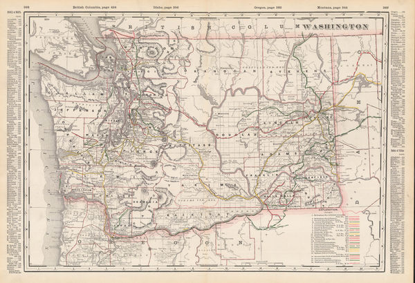
George Cram, Washington, 1897£ 225.00
-
George Cram, Western Part of Oregon / Eastern Part of Oregon, 1897£ 345.00
-
George Cram, Southern Ohio, 1897£ 195.00
-
Mast Crowell & Kirkpatrick, California and Nevada, 1897£ 195.00
-
Edward Stanford, Sketch Map of the Turco-Greek Frontier, 1897£ 295.00
-
George Cram, Georgia, 1897£ 275.00
-
Scottish Geographical Society (SGS), General Map of Queensland, 1897£ 245.00
-
George Cram, Railroad and County Map of Arizona, 1897£ 395.00
-
Inoma Shozaburo, Korea, 1897£ 1,750.00
-
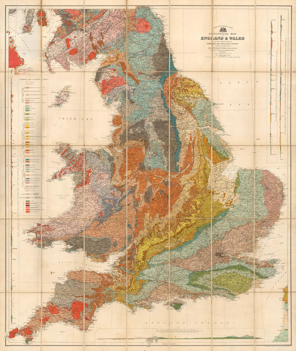
Sir Archibald Geikie, Geological Map of England & Wales, 1897 (c.)£ 550.00
-
Anonymous, Automobile Map of Arabia, 1897 (c.)£ 1,250.00
-
Walker Lith. & Pub. Co., Boston Harbor, 1897 c.£ 325.00
-
Royal Geographical Society (RGS), Eastern Zambia, 1898£ 135.00
-
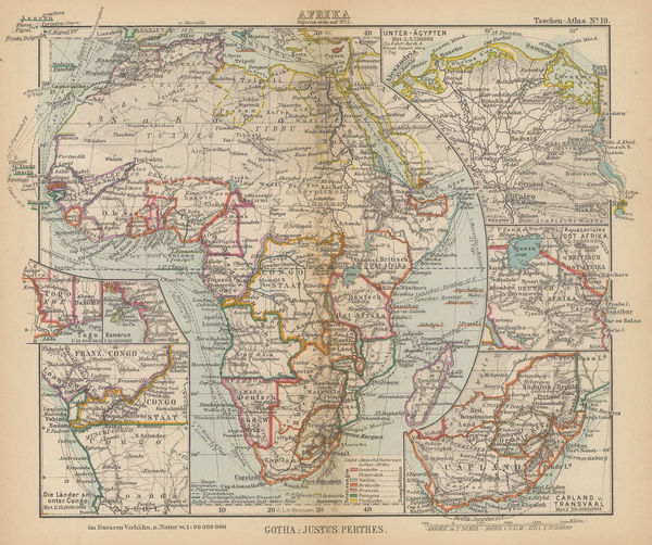
Justus Perthes, Detailed miniature map of Africa, 1898Reserved
-
Royal Geographical Society (RGS), Antarctic Regions, 1898£ 2,600.00
-
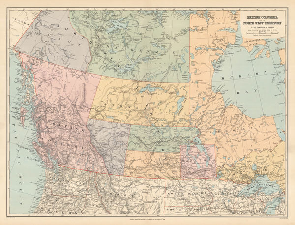
Edward Stanford, Western Canada, 1898£ 195.00
-
British Admiralty, Cape Fear to Sapelo Sound, 1898£ 2,500.00
-
Garnier Frères, Cuba, 1898£ 950.00
-
Royal Geographical Society (RGS), Malay Peninsula, Thailand, 1898£ 180.00
-
Royal Geographical Society (RGS), The Mouths of the Obi & Yenisei Rivers, 1898£ 175.00
-
Royal Geographical Society (RGS), Eastern Part of West Australia, 1898£ 295.00
-
Royal Geographical Society (RGS), Lake Turkana (Rudolf), Kenya, 1898£ 125.00
-
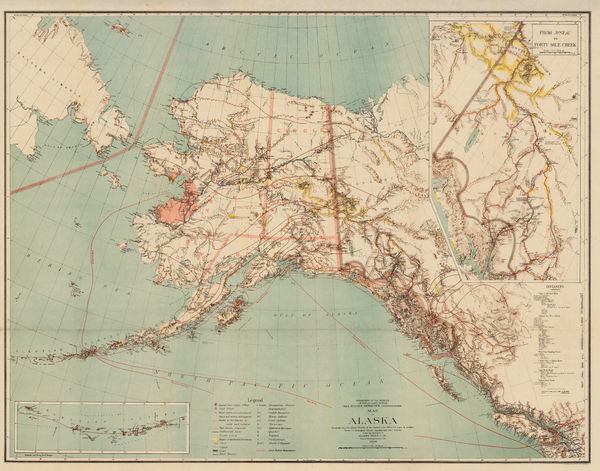
Harry King, Map of Alaska, 1898£ 645.00
-
A.H. Mueller, Map of the City of Cleveland, 1898£ 650.00
-
Map of Western Australia Showing Routes of the Exploring Expedition, 1898Scottish Geographical Society (SGS)Series: EdinburghScottish Geographical Society (SGS), Map of Western Australia Showing Routes of the Exploring Expedition, 1898£ 495.00
-
Survey of India, North Western Provinces and Oudh Survey, 1898£ 495.00
-
Sketch Map of Central China showing the basin of the Yang-tse-chiang, 1898Royal Geographical Society (RGS)Series: LondonRoyal Geographical Society (RGS), Sketch Map of Central China showing the basin of the Yang-tse-chiang, 1898£ 225.00
-
Royal Geographical Society (RGS), Sketch map of Franz Joseph Land, 1898£ 195.00
-
Royal Geographical Society (RGS), Sketch Map of Southern Tunis, 1898£ 62.00
-
Royal Geographical Society (RGS), Tibet and Northern China, 1898£ 350.00
-
Royal Geographical Society (RGS), Route of the first ascent of Aconcagua, 1898£ 155.00
-
Edward Stanford, South Australia and Northern Territory, 1898£ 58.00
-
Royal Geographical Society (RGS), The Fadhli Country, 1898£ 395.00
-
Edward Stanford, West Indies, 1898£ 75.00
-
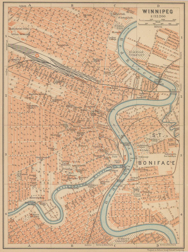
Karl Baedeker, Winnipeg, 1898£ 42.00
-
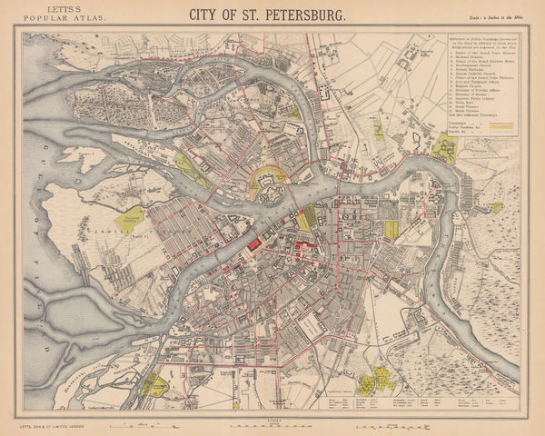
Letts & Son, St. Petersburg, 1898£ 325.00
-
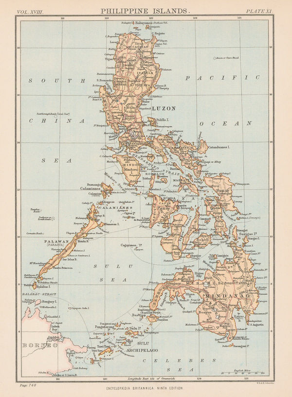
W. & A.K. Johnston, The Philippines, 1898£ 85.00
-
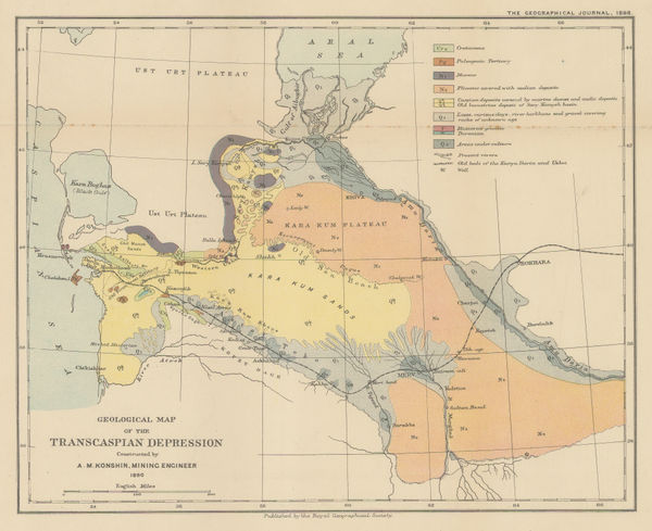
Royal Geographical Society (RGS), Geological map of the Transcaspian Depression, 1898£ 95.00
-
Royal Geographical Society (RGS), North East Nicaragua, 1898£ 295.00
-
George Cram, Texas, 1898£ 485.00
-
Edward Stanford, Map of the Ionian Islands and Malta, 1898£ 275.00
-
George W. Bacon, Ireland, 1898£ 75.00
-
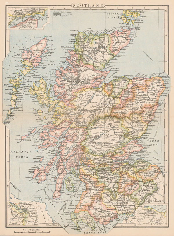
George W. Bacon, Scotland, 1898£ 75.00
-
George W. Bacon, India, 1898£ 88.00
-
Justus Perthes, Surface Temperature of the Seas and Oceans, 1898£ 285.00
-
I. Uschakoff, Southern Finland, 1898£ 345.00
-
George Philip & Son Ltd., Victoria Dock, Greenwich and Charlton, 1898£ 55.00
-
The North-Western Part of the Dominion of Canada, 1898Royal Geographical Society (RGS)Series: LondonRoyal Geographical Society (RGS), The North-Western Part of the Dominion of Canada, 1898£ 495.00
-
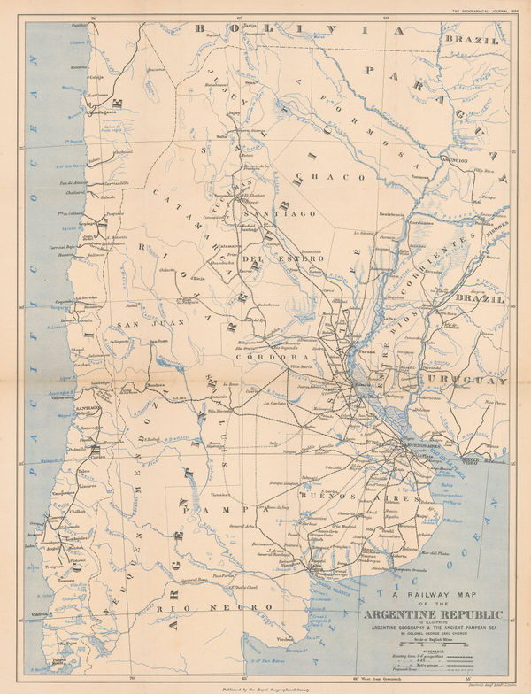
Royal Geographical Society (RGS), A Railway Map of the Argentine Republic, 1898£ 225.00
-
F.A. Brockhaus, Übersichtskarte des Mondes, 1898 c.£ 300.00
-
Ordnance Survey, Surrey - Haslemere to Godalming, 1898 c.£ 850.00
-
Royal Geographical Society (RGS), Uganda and western Kenya, 1899£ 265.00
-
Royal Geographical Society (RGS), Central and Southern Manchuria, 1899£ 395.00
-
Scottish Geographical Society (SGS), Kamchatka Peninsula, 1899£ 145.00
-
Edward Stanford, Map of the English Lake District, 1899£ 395.00
-
Royal Geographical Society (RGS), Survey map between Lakes Tanganyika and Malawi, 1899£ 295.00
-
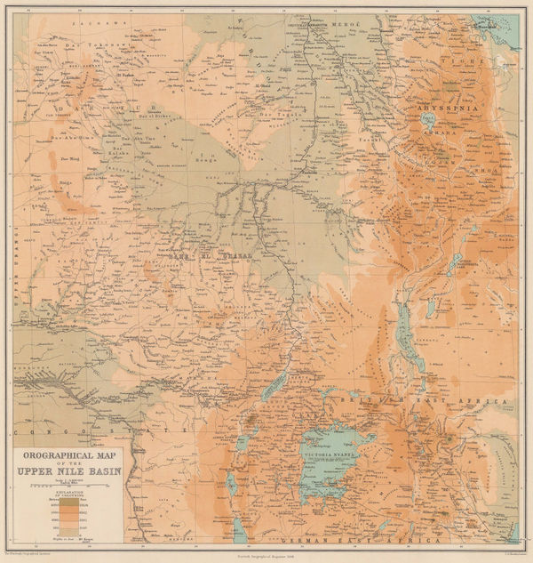
Scottish Geographical Society (SGS), Orographical Map of the Upper Nile Basin, 1899£ 195.00
-
Royal Geographical Society (RGS), Mombasa to Lake Victoria, Kenya, 1899£ 255.00
-
Royal Geographical Society (RGS), Bukhara, Uzbekistan, 1899£ 125.00
-
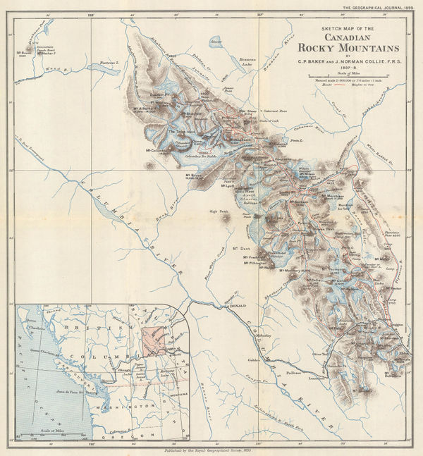
Royal Geographical Society (RGS), Waputik Mountains, Canadian Rockies, 1899£ 165.00
-
Edward Stanford, Stanford's Geological Map of London Shewing Superficial Deposits, 1899£ 425.00


Page
102
of 130