-
 Étienne André Philippe de Prétot, Languedoc and Roussillon, 1763£ 175.00
 -
Étienne André Philippe de Prétot, Normandy, Hauts-de-France and Île-de-France, 1763£ 175.00
-
Étienne André Philippe de Prétot, Brittany, 1763£ 175.00
-
Jacques-Nicolas Bellin, Bay and harbour of Brest, 1764£ 115.00
-
Jacques-Nicolas Bellin, Dunkirk and environs, 1764£ 62.00
-
Jacques-Nicolas Bellin, Brusc Lagoon, Provence, 1764£ 62.00
-
Jacques-Nicolas Bellin, Coast of Provence from La Crau d'Arles to Nice, 1764£ 195.00
-
Jacques-Nicolas Bellin, Mouth of the river Somme, 1764£ 64.00
-
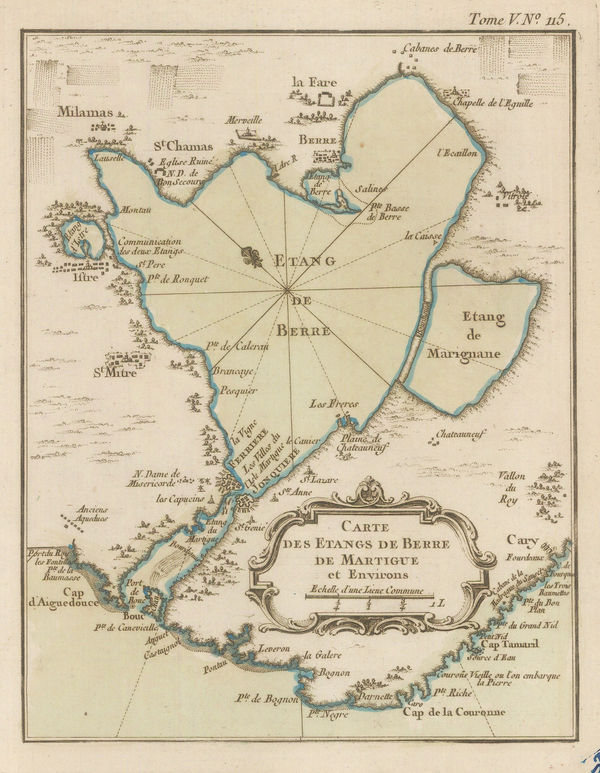
Jacques-Nicolas Bellin, Chart of the Étang de Berre lagoon, 1764£ 52.00
-
Jacques-Nicolas Bellin, Island of Rotonau and the Chateau d'If, 1764£ 65.00
-
Jacques-Nicolas Bellin, Coast of Brittany, 1764£ 88.00
-
Jacques-Nicolas Bellin, Languedoc coast from Agde to Sète, 1764£ 62.00
-
Jacques-Nicolas Bellin, Languedoc coast from Leucate to Gruissan, 1764£ 88.00
-
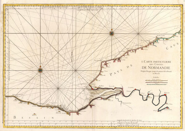
Jacques-Nicolas Bellin, Coast of Normandy from Dieppe to Le Havre, 1764£ 36.00
-
Jacques-Nicolas Bellin, Coast of Normandy with Guernsey, 1764£ 72.00
-
Jacques-Nicolas Bellin, Coast of Normandy from La Hague to Cherbourg, 1764£ 82.00
-
Jacques-Nicolas Bellin, Coast of Rousillon from Port Vendres to the Gulf of Rozes, 1764£ 62.00
-
Jacques-Nicolas Bellin, Chart from Calais to Nieuwpoort, 1764£ 65.00
-
Jacques-Nicolas Bellin, Picardie coast, 1764£ 62.00
-
Jacques-Nicolas Bellin, River Seine from its mouth to Rouen, 1764£ 48.00
-
Jacques-Nicolas Bellin, Dunkirk and the Mardick Canal, 1764£ 62.00
-
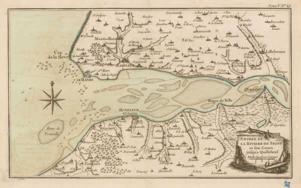
Jacques-Nicolas Bellin, Mouth of the River Seine, 1764£ 82.00
-
Jacques-Nicolas Bellin, Le Crotoy and Saint-Valery-sur-Somme, 1764£ 48.00
-
Jacques-Nicolas Bellin, Martigues and environs, 1764£ 42.00
-
Jacques-Nicolas Bellin, Fort of Nieulet, Calais, 1764£ 48.00
-
Jacques-Nicolas Bellin, Gulf of Frejus, Provence, 1764£ 145.00
-
Jacques-Nicolas Bellin, Ambleteuse, Hauts-de-France, 1764£ 36.00
-
Jacques-Nicolas Bellin, Cape d' Antibes, Cote d'Azur, 1764£ 125.00
-
Jacques-Nicolas Bellin, Boulogne-sur-Mer and environs, 1764£ 52.00
-
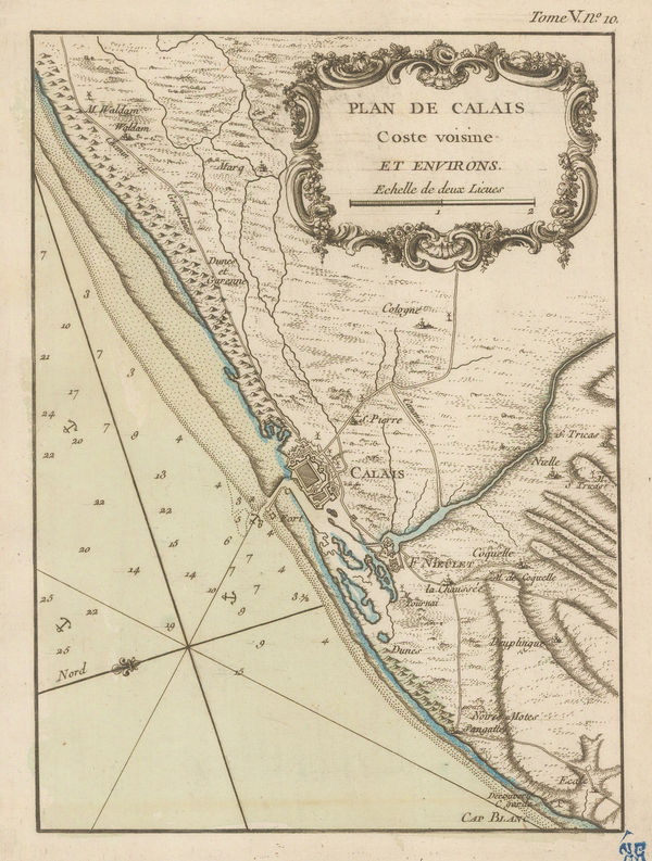
Jacques-Nicolas Bellin, Calais, 1764£ 88.00
-
Jacques-Nicolas Bellin, Coast of Calais and environs, 1764£ 56.00
-
Jacques-Nicolas Bellin, Cassis and environs, 1764£ 48.00
-
Jacques-Nicolas Bellin, Cherbourg, Normandy, 1764£ 56.00
-
Jacques-Nicolas Bellin, Cherbourg and environs, 1764£ 72.00
-
Jacques-Nicolas Bellin, Dunkirk / Dunkerque, 1764£ 68.00
-
Jacques-Nicolas Bellin, Fécamp, Normandy, 1764£ 38.00
-
Jacques-Nicolas Bellin, Granville, Normandy, 1764£ 38.00
-
Jacques-Nicolas Bellin, Gravelines, 1764£ 55.00
-
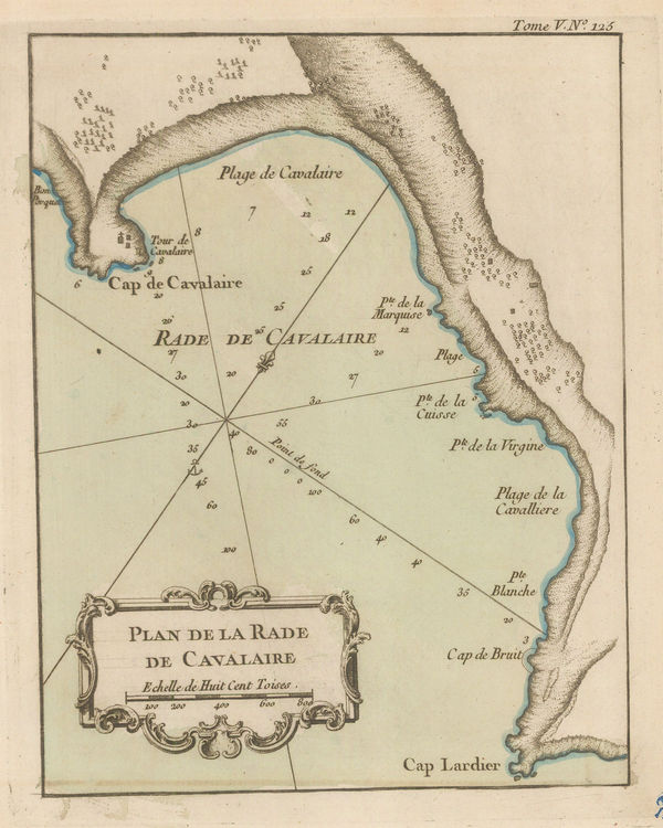
Jacques-Nicolas Bellin, Bay of Cavalaire, Côte d'Azur, 1764£ 55.00
-
Jacques-Nicolas Bellin, Bordeaux, 1764£ 165.00
-
Jacques-Nicolas Bellin, City plan of Boulogne-sur-Mer, 1764£ 58.00
-
Jacques-Nicolas Bellin, Dieppe, 1764£ 84.00
-
Jacques-Nicolas Bellin, Le Havre, Normandy, 1764£ 52.00
-
Jacques-Nicolas Bellin, Monaco, 1764£ 850.00
-
Jacques-Nicolas Bellin, Narbonne, 1764£ 42.00
-
Jacques-Nicolas Bellin, City plan of Nice, 1764£ 445.00
-
Jacques-Nicolas Bellin, Plan of Port-Vendres, 1764£ 48.00
-
Jacques-Nicolas Bellin, Rouen, 1764£ 85.00
-
Jacques-Nicolas Bellin, Le Tréport, Normandy, 1764£ 36.00
-
Jacques-Nicolas Bellin, Le Havre and environs, 1764£ 72.00
-
Jacques-Nicolas Bellin, Saint-Valery-en-Caux, Normandy, 1764£ 56.00
-
Jacques-Nicolas Bellin, Agde and environs, 1764£ 98.00
-
Jacques-Nicolas Bellin, The Port of Brest, 1764£ 95.00
-
Jacques-Nicolas Bellin, Chat of the bay and city of Collioure, 1764£ 42.00
-
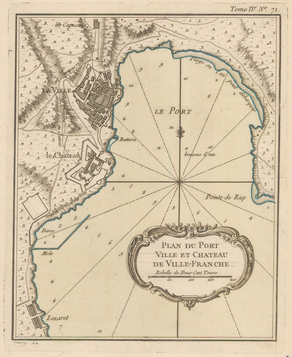
Jacques-Nicolas Bellin, Villefranche-sur-Mer, 1764£ 275.00
-
Jacques-Nicolas Bellin, Sète and the mouth of the Canal du Midi, 1764£ 58.00
-
Jacques-Nicolas Bellin, Agay, Provence, 1764£ 62.00
-
Jacques-Nicolas Bellin, Languedoc coast from Gruissan to Brescon, 1764£ 95.00
-
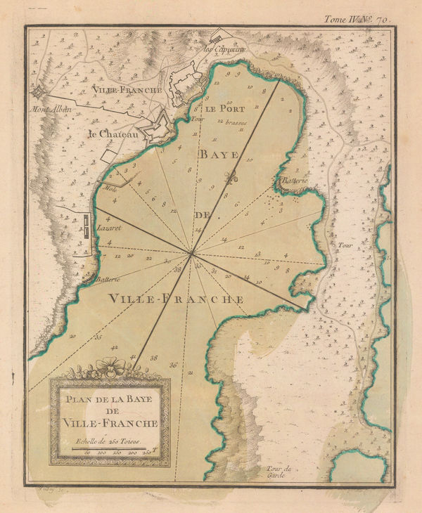
Jacques-Nicolas Bellin, Villefranche sur Mer, 1764£ 325.00
-
Jacques-Nicolas Bellin, The Bay of Biscay, 1764£ 195.00
-
Jacques-Nicolas Bellin, Coast of Normandy from Dieppe to Bayeux, 1765 c.£ 350.00
-
Jean Lattré, Languedoc coast, 1771£ 195.00
-
Rigobert Bonne, Isère, Drôme and Hautes-Alpes, 1771£ 195.00
-
Jean Lattré, Champagne and Brie, 1771£ 95.00
-
Rigobert Bonne, Southwestern France, 1771£ 145.00
-
Willem Albert Bachiene, France, 1772£ 365.00
-
Louis-Charles Desnos, Provence, 1772£ 395.00
-
Étienne André Philippe de Prétot, Paris & Île-de-France, 1773£ 145.00
-
Antonio Zatta, Central France, 1776£ 50.00
-
Antonio Zatta, Northern France and Southern Belgium, 1776£ 88.00
-
Cesar-Francois Cassini, Antibes, 1780 c.£ 325.00
-
Antonio Zatta, Lorraine and Alsace, 1780 c.£ 88.00
-
A Chart of the English Channel with the Coasts of France, Spain, and Portugal, 1784John HarrisonSeries: LondonJohn Harrison, A Chart of the English Channel with the Coasts of France, Spain, and Portugal, 1784£ 95.00
-
J.C. & J.A. Dezauche, Auvergne, Rouergue, and Quercy, 1785£ 245.00
-
Laurie & Whittle, The Kingdom of France, 1794£ 375.00
-
Laurie & Whittle, Bay of Biscay, 1794£ 1,250.00
-
John Russell, France, 1795£ 48.00
-
Franz Von Reilly, France, 1795£ 100.00
-
Anonymous, Southern France, 1799£ 565.00
-
William Faden, Provence & the South of France, 1799£ 950.00


Page
3
of 7