-
 Edward Stanford, Geological Map of Ireland, 1878£ 1,200.00
 -
James Wyld, Map of the Superficial Geology of London and its Environs, 1878 c.£ 825.00
-
British Admiralty, Kyle Akin Harbour, 1879£ 175.00
-
Edward Stanford, Geological Map of Newfoundland, 1879£ 3,250.00
-
Society for the Diffusion of Useful Knowledge (SDUK), Ancient Egypt, 1879£ 145.00
-
Justus Perthes, Bubonic Plague Outbreaks from 1346 to 1879, 1879£ 325.00
-
-
J. van Voorst, Geological Map of Surrey, 1880 c.£ 485.00
-
British Admiralty, Banka and Gaspar Straits, 1881£ 595.00
-
British Admiralty, Bay of Biscay, 1881£ 950.00
-
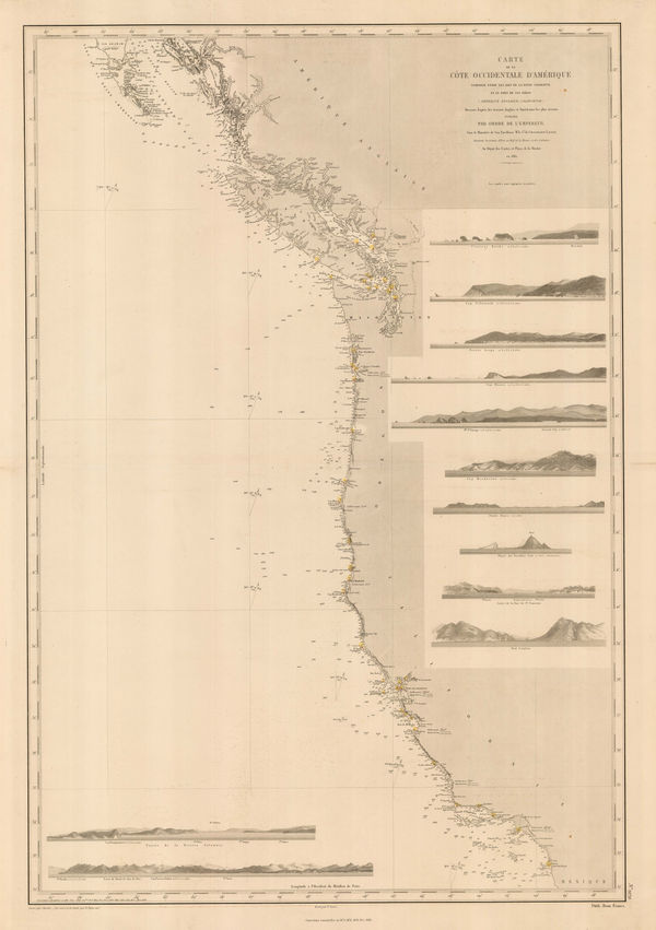
French Admiralty, Chart of the west coast of North America, 1881£ 825.00
-
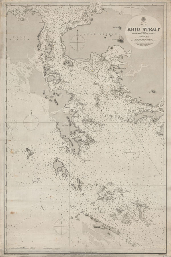
British Admiralty, Riau Islands, Indonesia, 1881£ 595.00
-
-
Justus Perthes, Geological Map of Haida Gwaii, British Columbia, 1881£ 125.00
-
Richard Holmes Laurie, Chart of the Port of Aden, 1882£ 48.00
-
British Admiralty, Cowes Harbour, 1882£ 1,150.00
-
Ordnance Survey, Geological Survey of England and Wales, 1882£ 120.00
-
British Admiralty, Strait of Malacca. From Diamond Pt. to the North Sands, 1882£ 795.00
-
Richard Holmes Laurie, The Arabian Sea, 1882£ 58.00
-
James Imray, The Indian Ocean, 1882£ 52.00
-
James Imray, The Indian Ocean, 1882£ 52.00
-
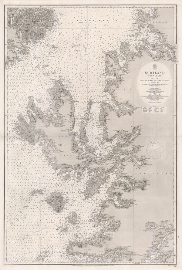
British Admiralty, Western Scotland, 1882£ 885.00
-
Justus Perthes, Geological Map of West Africa, 1882£ 425.00
-
Ordnance Survey, Geological Survey of England and Wales, 1883£ 120.00
-
W. & A.K. Johnston, The Islamic Empire, 1883£ 115.00
-
Reginald A.F. Murray, Geological Survey of Gipps Land, 1884£ 125.00
-
Ordnance Survey, Geological Survey of Great Britain, 1884£ 375.00
-
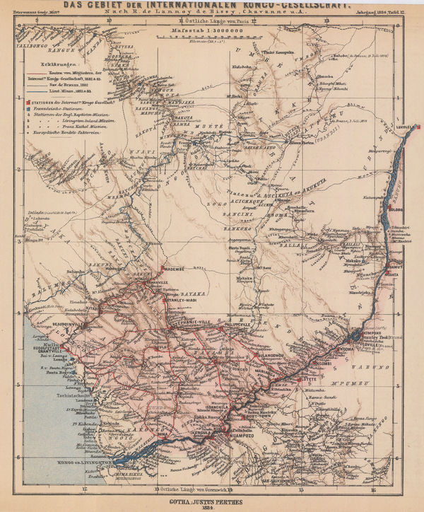
Justus Perthes, Exploration by the International Congo Society, 1884£ 145.00
-
Justus Perthes, Geological map of Southeast Africa, 1884£ 295.00
-
Edward Stanford, A Map of the Nile during the Siege of Khartoum, 1884£ 345.00
-
Map of India shewing Railways open to traffic, under construction and under survey onm 31st March 1885, 1885Survey of IndiaSeries: LondonSurvey of India, Map of India shewing Railways open to traffic, under construction and under survey onm 31st March 1885, 1885£ 585.00
-
Edward Stanford, The World in Hemispheres, 1885£ 245.00
-
-
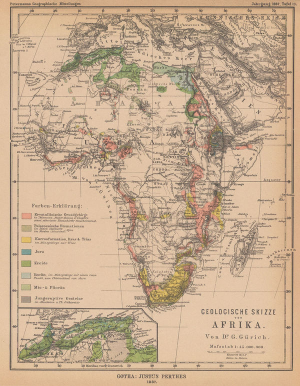
Justus Perthes, Geological sketch map of Africa, 1887£ 88.00
-
W.J. Adams & Sons, The "District Railway" Map of London - Jubilee Edition, 1887£ 1,050 (framed)
-
Ordnance Survey, Geological Survey of England and Wales, 1888£ 175.00
-
Lyman Brown, Lyman Brown's Seven Barks - Pictorial Map of the United States, 1888£ 695.00
-
Scottish Geographical Society (SGS), Charles Darwin's Coral Reefs Theory, 1888£ 195.00
-
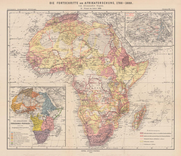
Justus Perthes, The Progress of African Exploration, 1888£ 245.00
-
Henry William Blair, New York City's Drinking Problem, 1888£ 1,250.00
-
Charles Booth, First Edition Poverty Map of the East End, 1889£ 4,500.00
-
Charles Booth, Charles Booth's Poverty Map of London (NE), 1889£ 3,750.00
-
Charles Booth, Charles Booth's Poverty Map of London (NW), 1889£ 3,750.00
-
Ordnance Survey, Geological Survey of England and Wales, 1889£ 375.00
-
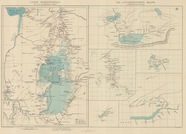
Royal Geographical Society (RGS), Livingstone's maps of Lake Bangweulu, Zimbabwe, 1889£ 145.00
-
Richard Holmes Laurie, Sandakan Bay, 1889£ 52.00
-
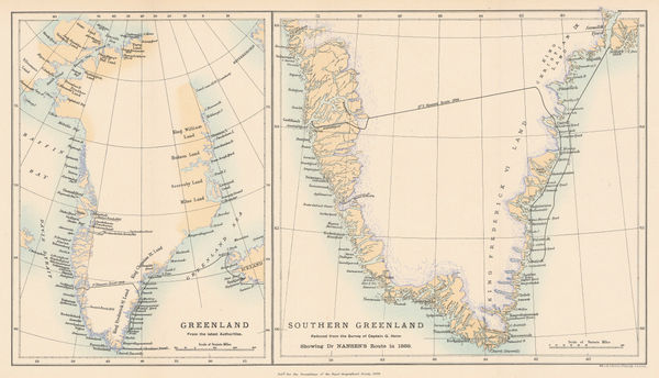
Royal Geographical Society (RGS), Nansen's First Crossing of Greenland, 1889£ 245.00
-
-
John Murray, Challenger Expedition - Sydney to Wellington, 1890£ 295.00
-
Charles Booth, Putney & Wandsworth Poverty Map, 1890 c.£ 450.00
-
F Bianconi, Economic Map of Guatemala, 1890 c.£ 1,950.00
-
Ordnance Survey, Geological Survey of England and Wales, 1891£ 120.00
-
British Admiralty, Gulf of Mexico, 1891£ 1,550.00
-
Justus Perthes, The North Atlantic Sargasso Sea, 1891£ 88.00
-
Ordnance Survey, Geological Survey of England and Wales, 1892£ 120.00
-
The General Election 1892 & The Graphic Parliamentary Map [Sold as a Pair], 1892The Graphic MagazineSeries: LondonThe Graphic Magazine, The General Election 1892 & The Graphic Parliamentary Map [Sold as a Pair], 1892£ 950.00
-
Levi Walter Yaggy, Arctic Zone, 1893£ 1,800.00
-
Royal Geographical Society (RGS), Geological map of Hokkaido, 1893£ 185.00
-
Ordnance Survey, Isle of Wight, 1893£ 325.00
-
Levi Walter Yaggy, Temperate Zone, 1893£ 950.00
-
Royal Geographical Society (RGS), Botswana & the Kalahari Desert, 1893£ 98.00
-
Justus Perthes, Annual Temperatures of the World's Oceans, 1893£ 145.00
-
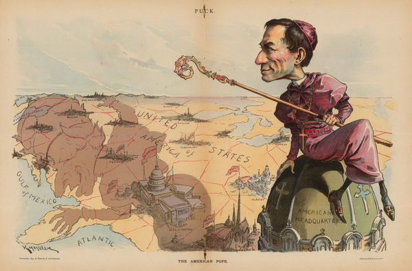
Keppler and Schwarzmann, The American Pope, 1894£ 1,900.00
-
Justus Perthes, Indian Ocean, 1895£ 38.00
-
Scottish Geographical Society (SGS), Map of the Labrador Peninsula, 1895£ 325.00
-
British Admiralty, Sea Chart of the California Coast, 1895£ 750.00
-
British Admiralty, San Francisco Harbour, 1895£ 1,850.00
-
W. & A.K. Johnston, Railway Map of England and Wales, 1895£ 795.00
-
Justus Perthes, Geological Map of Southeast Iceland, 1895£ 78.00
-
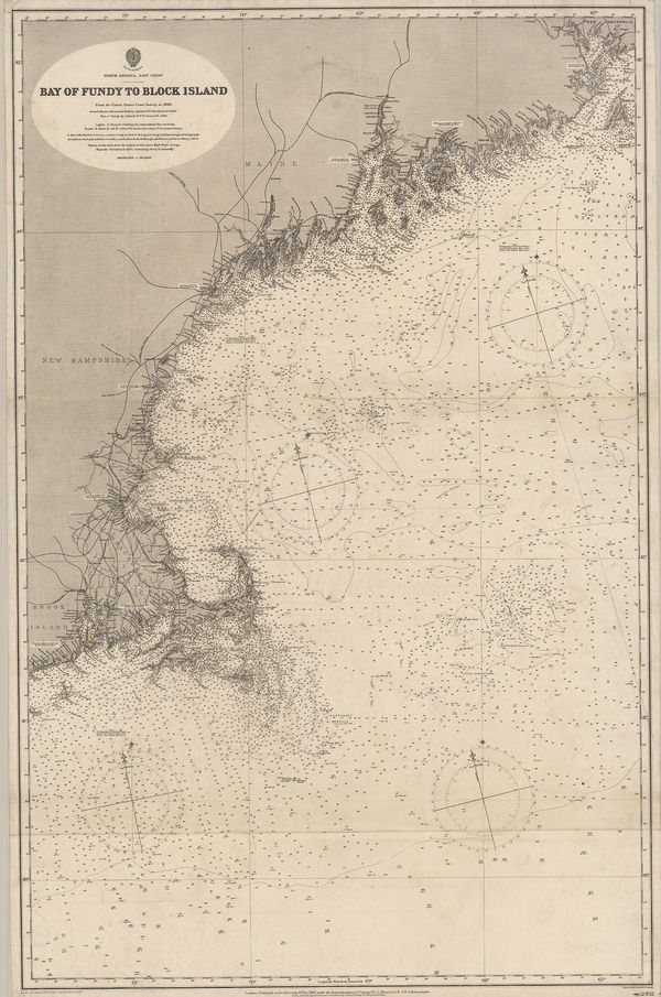
British Admiralty, Bay of Fundy to Block Island, 1896£ 2,150.00
-
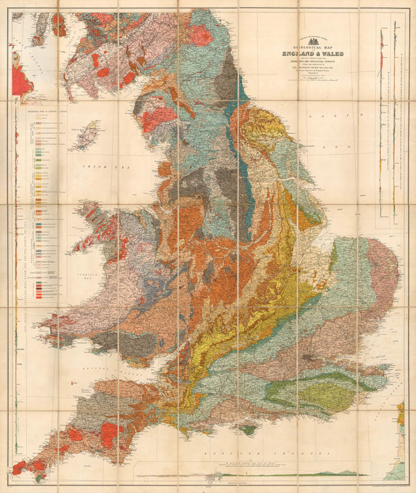
Sir Archibald Geikie, Geological Map of the British Isles, 1896£ 4,000.00
-
Sir Archibald Geikie, Geological Map of England & Wales, 1897 (c.)£ 550.00
-
British Admiralty, Cape Fear to Sapelo Sound, 1898£ 2,500.00
-
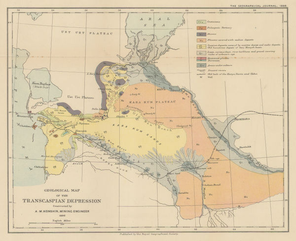
Royal Geographical Society (RGS), Geological map of the Transcaspian Depression, 1898£ 95.00
-
Edward Stanford, Stanford's Geological Map of London Shewing Superficial Deposits, 1899£ 425.00
-
-
Charles Booth, Battersea & Clapham Poverty Map, 1900£ 1,650.00
-
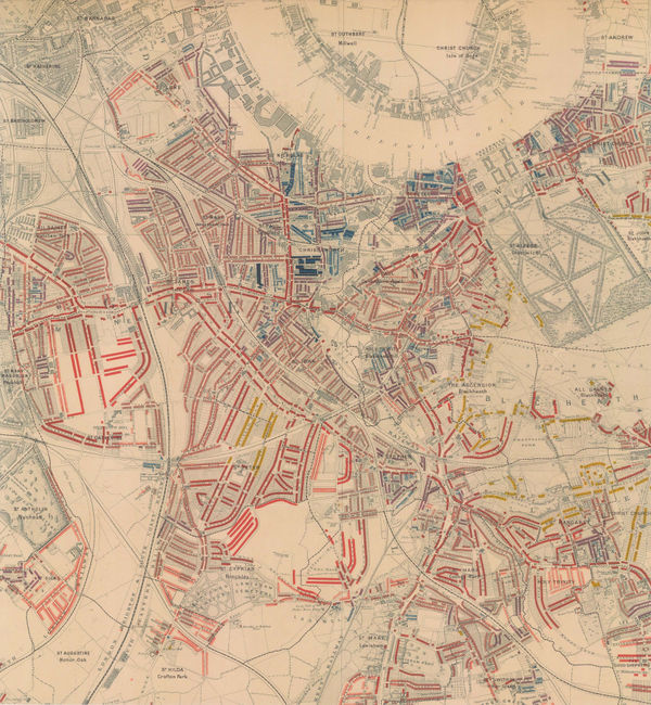
Charles Booth, Poverty Map of Greenwich, Deptford & Lewisham, 1900£ 1,275.00
-
Charles Booth, Poverty Map of Stoke Newington, Dalston, Haggerston & Hackney, 1900£ 795.00
-
Map Showing Places of Religious Worship, Public Elementary Schools, and Houses Licensed for the Sale of Intoxicating Drinks, 1900Charles BoothSeries: LondonCharles Booth, Map Showing Places of Religious Worship, Public Elementary Schools, and Houses Licensed for the Sale of Intoxicating Drinks, 1900£ 2,950.00


![The Graphic Magazine, The General Election 1892 & The Graphic Parliamentary Map [Sold as a Pair], 1892](https://static-assets.artlogic.net/w_600,c_limit,f_auto,fl_lossy,q_auto/artlogicstorage/themaphouse/images/view/482cbe78e7901f3a280f8da45f96c026j/themaphouse-the-graphic-magazine-the-general-election-1892-the-graphic-parliamentary-map-sold-as-a-pair-1892.jpg)


Page
7
of 15