-
 Frederick De Wit, Terra Australis Incognita, 1680 c.£ 1,250.00
 -
 Henri du Sauzet, Terres Antarctiques, 1734£ 675.00
 -
 Antonio Zatta, Emisfero Terrestre Meridionale | Emisfero Terrestre Septentrionale, 1779£ 645.00
 -
 Capt. James Cook, Carte de L'Hemisphere Austral Montrant les Routes des Navigateurs les plus Célebres Par le Captaine Jacques Cook, 1790 c.£ 2,500.00
 -
 Capt. James Cook, Van Kerguelens Land, 1794£ 145.00
 -
 John Wilkes, Countries surrounding the South Pole, 1807£ 295.00
 -
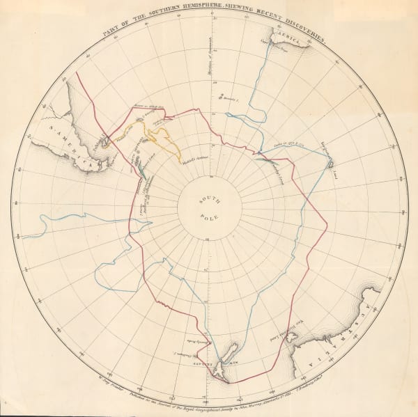
 Royal Geographical Society (RGS), Part of the Southern Hemisphere, Shewing Recent Discoveries, 1833£ 650.00
 -
 Benedetto Marzolla, Carta Generale dell'Antartica, 1842£ 1,450.00
 -
 Joseph Wilson Lowry, Perspective Projection of the Southern Hemisphere on the Plane of the Horizon of London, 1845 c.£ 745.00
 -
 Joseph Meyer, Neueste Karte vom Sud-Pol, 1853£ 595.00
 -
 Joseph Hutchins Colton, Southern Regions, 1855£ 450.00
 -
 Royal Geographical Society (RGS), The South-Polar Regions, 1869£ 950.00
 -
 Justus Perthes, Route of the Challenger Expedition to the Antarctic, 1874£ 295.00
 -
 Scottish Geographical Society (SGS), South Polar Chart showing Heights of Land and Depths of Sea, 1886£ 1,600.00
 -
 Augustus Petermann, Sud-Polar Karte, 1889£ 950.00
 -
 Royal Geographical Society (RGS), Map Illustrating Mr H. O. Forbes' paper on The Chatham Islands., 1893£ 445.00
 -
 Royal Geographical Society (RGS), Antarctic Research, 1894£ 2,750.00
 -
 Scottish Geographical Society (SGS), Sketch Map of South Polar Regions, 1894£ 450.00
 -
 Scottish Geographical Society (SGS), Sketch-Chart on Mercator's Projection, Showing Track of the 'Jason', 1893-94, 1894£ 950.00
 -
 Royal Geographical Society (RGS), Antarctic Regions, 1898£ 2,600.00
 -
 Scottish Geographical Society (SGS), Chart of the South Polar Regions, 1900£ 725.00
 -
 Royal Geographical Society (RGS), Map of Part of the Coastline of South Victoria Land, 1900£ 2,650.00
 -
 Royal Geographical Society (RGS), Sketch of Danco Land the Belgica Strait and Palmer Archipelago, 1901£ 850.00
 -
 Scottish Geographical Society (SGS), Captain Scott's 'Discovery Expedition', 1903£ 750.00
 -
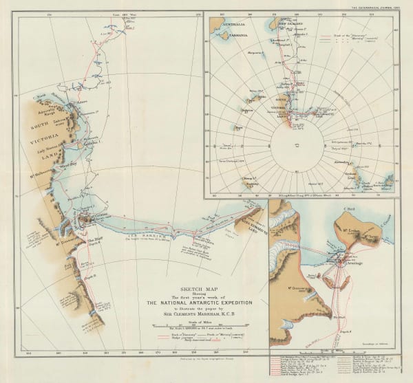
 Royal Geographical Society (RGS), Sketch Map Showing the First Year's Work of The National Antarctic Exhibition, 1903£ 1,650.00
 -
 British Admiralty, Wilkes Land, Adelie Land & George V Land, 1904£ 2,500.00
 -
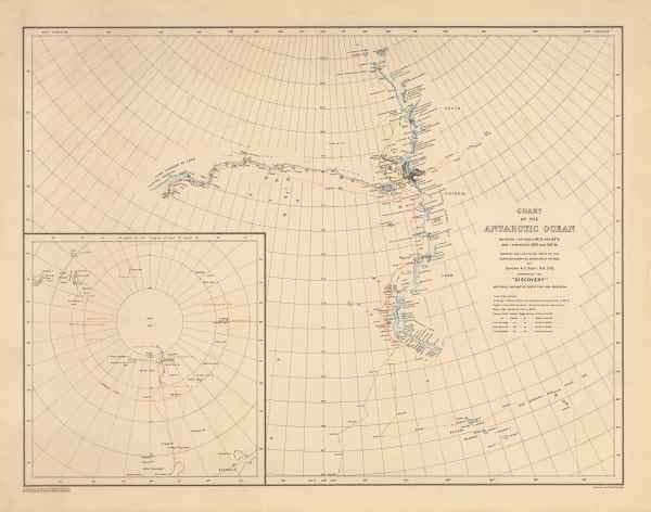
 George F. A. Mulock, Chart of the Antarctic Ocean, 1904£ 1,750.00
 -
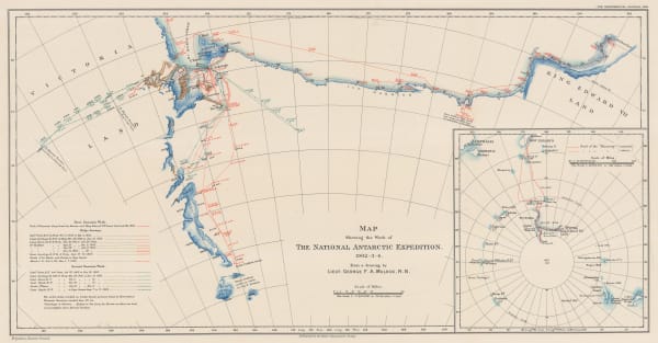
 Royal Geographical Society (RGS), Map Showing the Work of The National Antarctic Expedition 1902-03-04, 1904£ 2,950.00
 -
 Royal Geographical Society (RGS), Map Showing Track of the S.Y. 'Morning', 1904£ 600.00
 -
 Scottish Geographical Society (SGS), Scottish National Antarctic Expedition, 1904£ 1,800.00
 -
 Royal Geographical Society (RGS), Sketch Maps Showing the Track & Expeditions of the German South Polar Expedition 1902-3, 1904£ 750.00
 -
 Royal Geographical Society (RGS), Sketch Map Showing the Track of the Swedish Antarctic Expedition, 1904£ 550.00
 -
 George F. A. Mulock, Scott's Map of the Ross Barrier Ice Shelf, 1904£ 2,750.00
 -
 Scottish Geographical Society (SGS), Bathymetrical Survey of the South Atlantic Ocean and Weddell Sea, 1905£ 1,250.00
 -
 George F. A. Mulock, Robert Falcon Scott's Discovery Expedition, 1905£ 2,850.00
 -
 Scottish Geographical Society (SGS), Deep Sea Deposits of the South Atlantic Ocean and Weddell Sea, 1905£ 950.00
 -
 Scottish Geographical Society (SGS), Scottish National Antarctic Expedition - Map showing the track of the "Scotia", 1903-1904, 1905£ 1,800.00
 -
 Royal Geographical Society (RGS), Sketch map to Illustrate the paper by Dr. Charcot on the French Antarctic Expedition, 1905£ 950.00
 -
 George F. A. Mulock, Sledge Journeys from Winter Quarters, 1905£ 2,850.00
 -
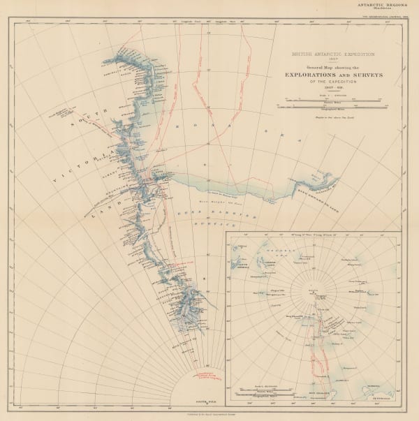
 William Heinemann, British Antarctic Expedition 1907. Route and Surveys of the South Magnetic Polar Party, 1909£ 3,000.00
 -
 Royal Geographical Society (RGS), Shackleton's British Antarctic Expedition, 1909£ 2,200.00
 -
 Royal Geographical Society (RGS), Routes and Surveys of the South Magnetic Polar Party, 1909£ 1,650.00
 -
 William Heinemann, British Antarctic Expedition 1907, Routes and Surveys of the Southern Journey Party 1908- 09, 1909 c.£ 3,500.00
 -
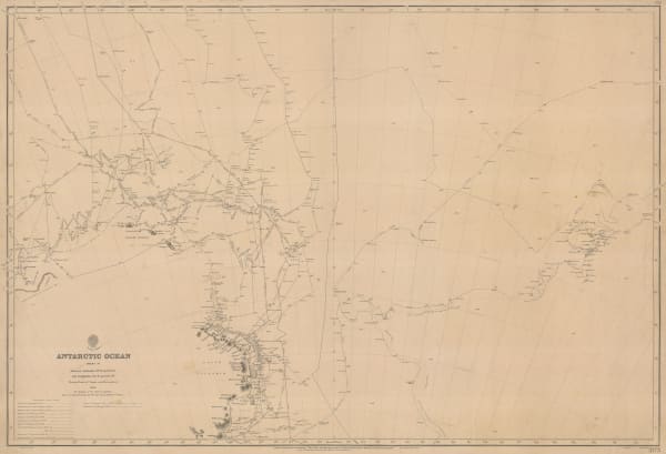
 British Admiralty, Antarctic Ocean Sheet IV, 1910£ 3,500.00
 -
 George Philip & Son Ltd., South Polar Regions, 1910£ 225.00
 -
 Royal Geographical Society (RGS), Maps to Illustrate the Paper by Dr. J.B. Charcot on the French Antarctic Expedition 1908-1910, 1911£ 750.00
 -
 Royal Geographical Society (RGS), South Polar Regions, 1911£ 1,850.00
 -
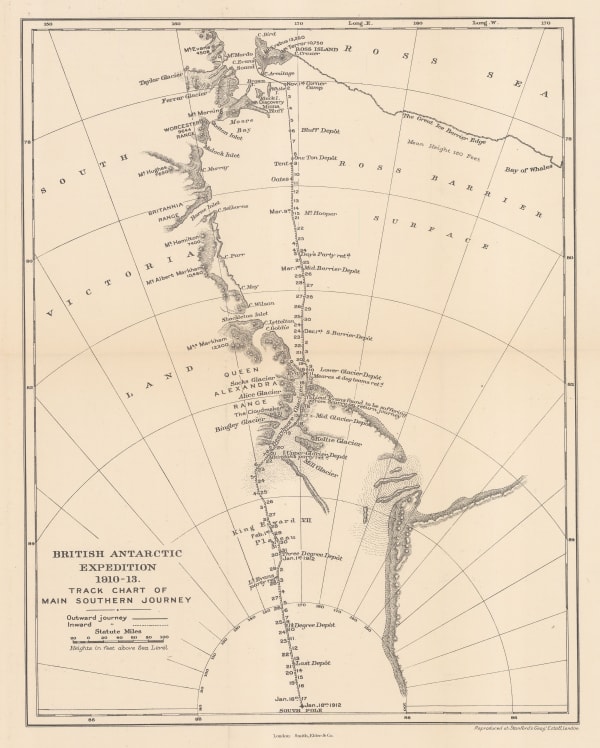
 Edward Stanford, British Antarctic Expedition 1910-13. Track chart of the main southern journey, 1913£ 450.00
 -
 Royal Geographical Society (RGS), Preliminary Chart showing the Deep Sea Soundings taken on board the 'Aurora' during the 1st and 2nd years work of the Australasian Antarctic Expedition, 1913£ 600.00
 -
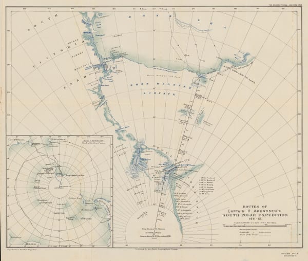
 Royal Geographical Society (RGS), Routes of Captain R. Amundsen's South Polar Expedition 1911-1912, 1913£ 4,950.00
 -
 Edward Stanford, Sketch Map of Mount Erebus, 1913£ 150.00
 -
 George Philip & Son Ltd., The Polar Regions, 1913 c.£ 395.00
 -
 British Admiralty, Heroic Age map of the Ross Sea & Ross Ice Shelf, 1914£ 4,500.00
 -
 Royal Geographical Society (RGS), Australasian Antarctic Expedition - King George V Land, 1914£ 2,450.00
 -
 Royal Geographical Society (RGS), Australasian Antarctic Expedition, 1911 - 14. Queen Mary Land, Showing the tracking of the Sledging Parties from the Main Base, 1914£ 1,600.00
 -
 Royal Geographical Society (RGS), Regional Map Showing the Area Covered by the Australasian Antarctic Expedition, 1914£ 795.00
 -
 Royal Geographical Society (RGS), Sketch Map to illustrate the paper by Raymond E. Priestly on The Work of the Northern Party, 1914£ 675.00
 -
 Edward Stanford, The field of work of the Mawson Expedition., 1915 c.£ 48.00
 -
 John Bartholomew, South Polar Regions, 1922£ 725.00
 -
 John Bartholomew, Map of the South Polar Regions for "A Naturalist at the Poles", 1923£ 975.00
 -
 Royal Geographical Society (RGS), Chart Showing the discoveries and approximate track of Edward Bransfield, Master R.N. In the hired brig "Willims" of Blyth, when exploring the South Shetland Islands and the northern extremity of Graham Land, in the year 1820, 1925£ 850.00
 -
 J. Gordon Hayes, No. 1, Antarctica, 1928£ 795.00
 -
 J. Gordon Hayes, No. 4 The Ross Dependancy, 1928£ 695.00
 -
 Royal Geographical Society (RGS), Discoveries in Graham Land by Sir Hubert Wilkins, December, 1928, 1929£ 450.00
 -
 Royal Geographical Society (RGS), Recent Work of Norwegian Expeditions in the Antarctic Regions, 1931£ 375.00
 -
 Royal Geographical Society (RGS), Antarctic Regions, 1932£ 1,400.00
 -
 Surveys and Soundings of the R.R.S. Discovery II, 1932Royal Geographical Society (RGS)Series: LondonRoyal Geographical Society (RGS), Surveys and Soundings of the R.R.S. Discovery II, 1932£ 280.00
 -
 Royal Geographical Society (RGS), Stations of the Falkland Island Sector / Stations of the Circumpolar Cruises, 1934£ 450.00
 -
 Royal Geographical Society (RGS), South Shetland Islands, 1935 c.£ 195.00
 -
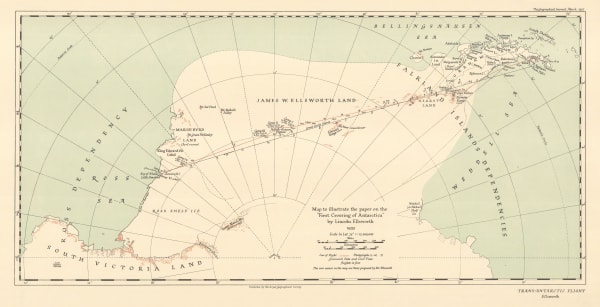
 Royal Geographical Society (RGS), Map to illustrate the paper on the "First Crossing of Antarctica", 1937£ 650.00
 -
 Royal Geographical Society (RGS), The Course of Antarctic Exploration between Longitudes 20W and 110E, 1939£ 850.00
 -
 Royal Geographical Society (RGS), British Graham Land Expedition, 1940£ 1,550.00
 -
 Royal Geographical Society (RGS), British Antarctic Territory - Alexander Island and Charcot Island, 1963£ 295.00
Maps of Antarctica


